Black Fell
| WOTA ID: LDW-212 | Height: 323 m (1060 ft) |
|---|---|
| SOTA ID: n/a | Grid ref: NY340015 |
| HuMP ID: G/HLD-005 | QTH Locator: IO84LJ |
| Book: The Southern Fells | Lat: 54.404533 Long: -3.016871 |
Decided to take my HF gear up Black Fell yesterday evening as weather conditions looked good. I would have done a VHF activation, but once again hadn’t packed an antenna for the FT-817, and this time with using the HF dipole instead of the Super Antenna MP1, I couldn’t even use the whip on that. Apologies!
I spotted myself on the HEMA system and had a nice few chats with both HEMA chasers and those looking for either the WAB square or the Trig point reference.
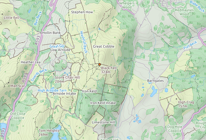
I shared the summit with a couple taking photos and a lad who had arrived on a trials bike.
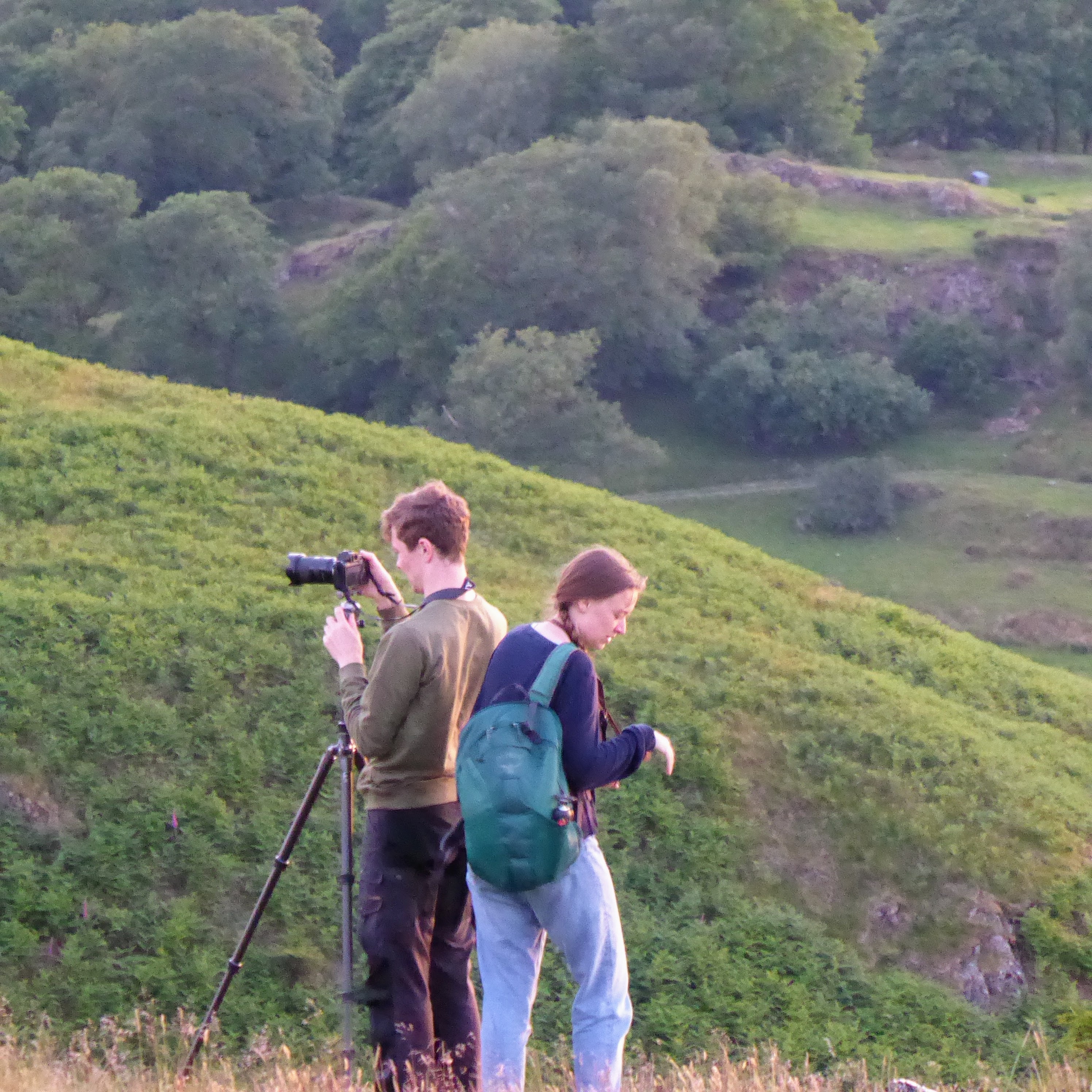
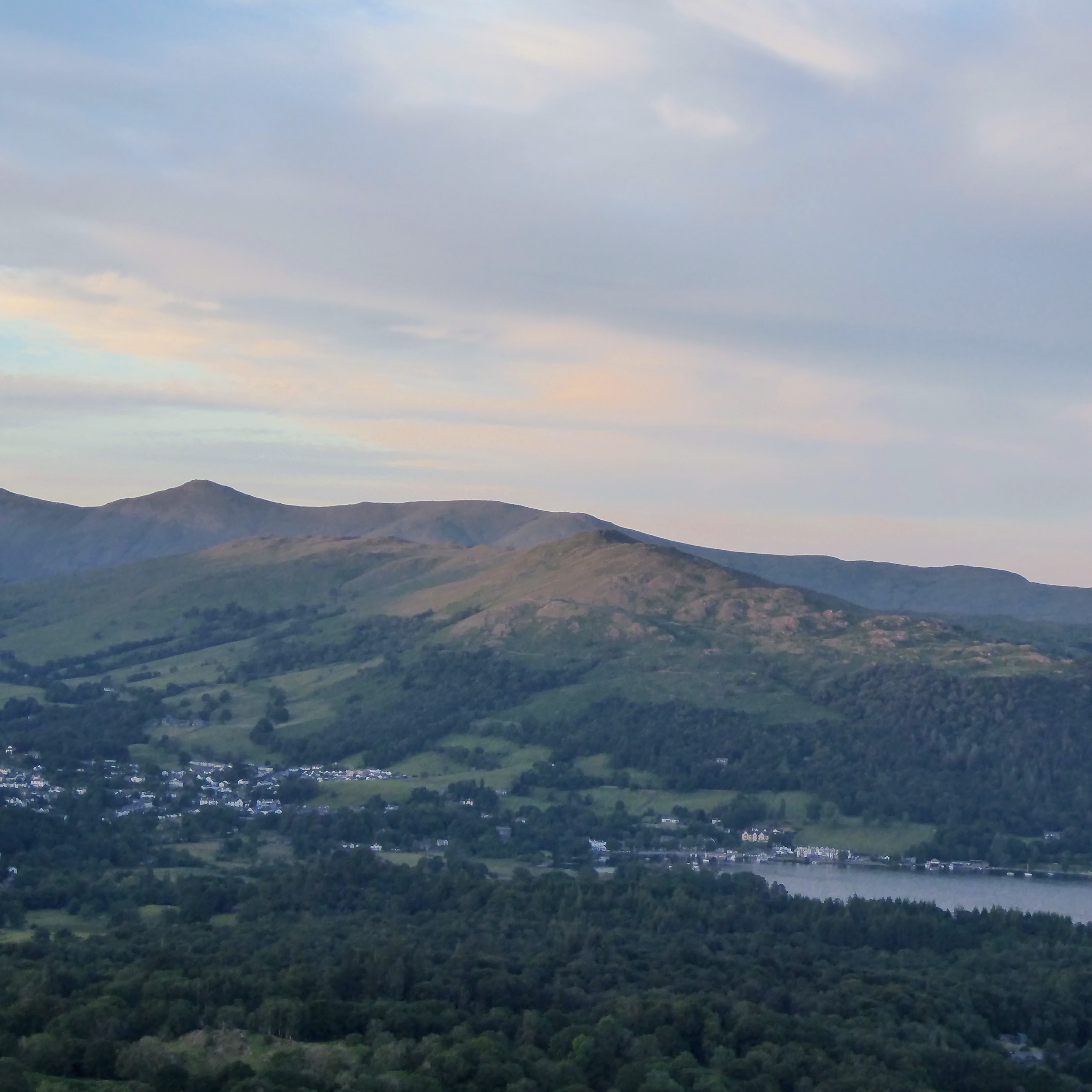
Photographers catching the sunset


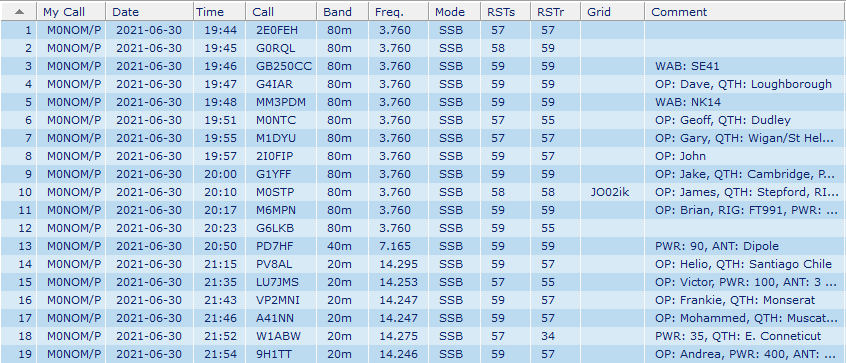
I was surprised to be doing as well as I was on 80m with only 25 watts, but I seemed to be cutting through the noise with most folk, only one contact was marginal.
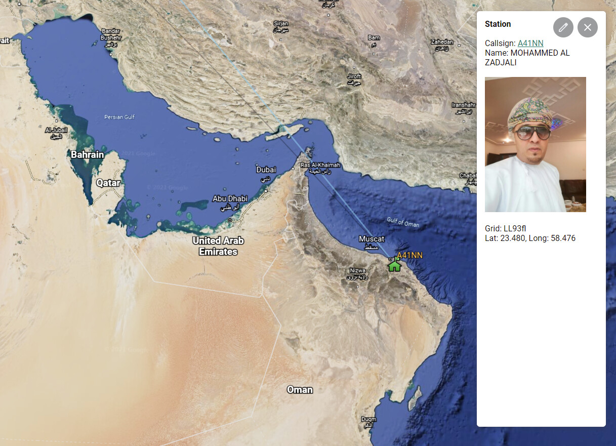
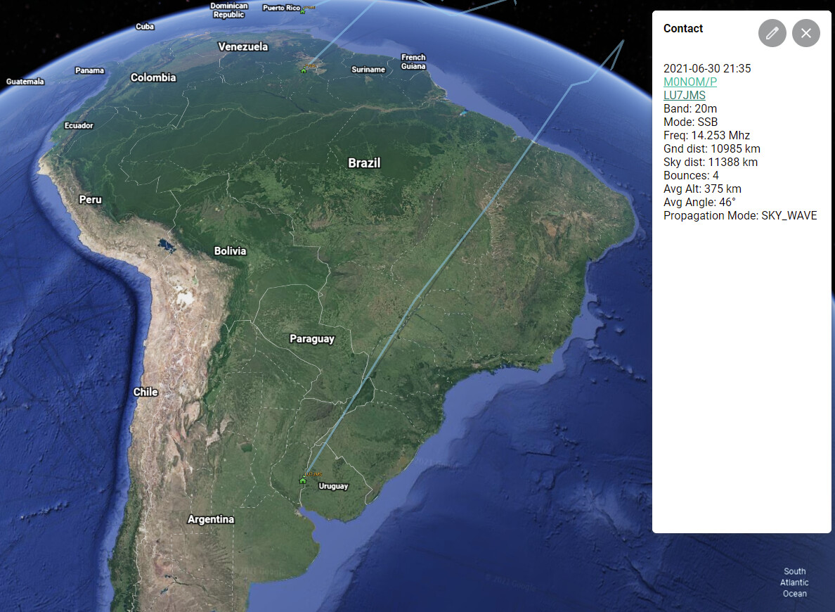
40m wasn’t working as well, but I did manage one contact. Moving to 20m I was hoping it would be opening up and through scanning the band found that there was definitely a path to South America, and I could also hear some American stations. In the end I did quite well, mostly via search and pounce (Chile and Argentina) but I did call CQ for a while on a fresh battery and was very pleasantly surprised by two stations that responded: Frankie VP2MNI in Monserat and A41NN Mohammed in Oman, very nice!
After a quick QSO with W1ABW I had a lovely long chat with Andrew 9H1TT in Malta. I saw from his QRZ.com page that he was an airline pilot, and as I know something of the state of the industry, and the impact on pilots, he was very happy to discuss the subject. QRT at about 11pm I was back home around 11:45pm local with a nice head torch descent back to the access point on the road from the Drunken Duck.
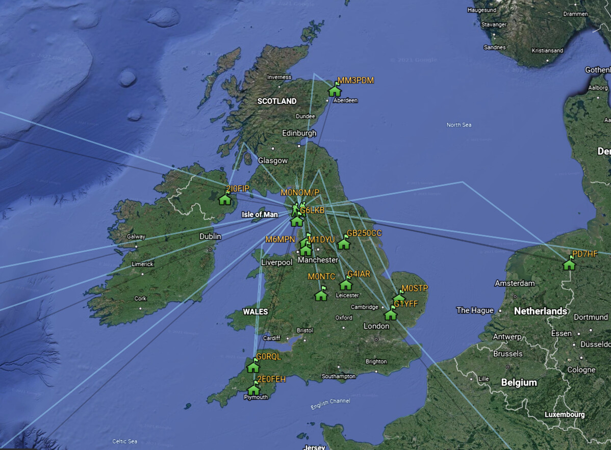
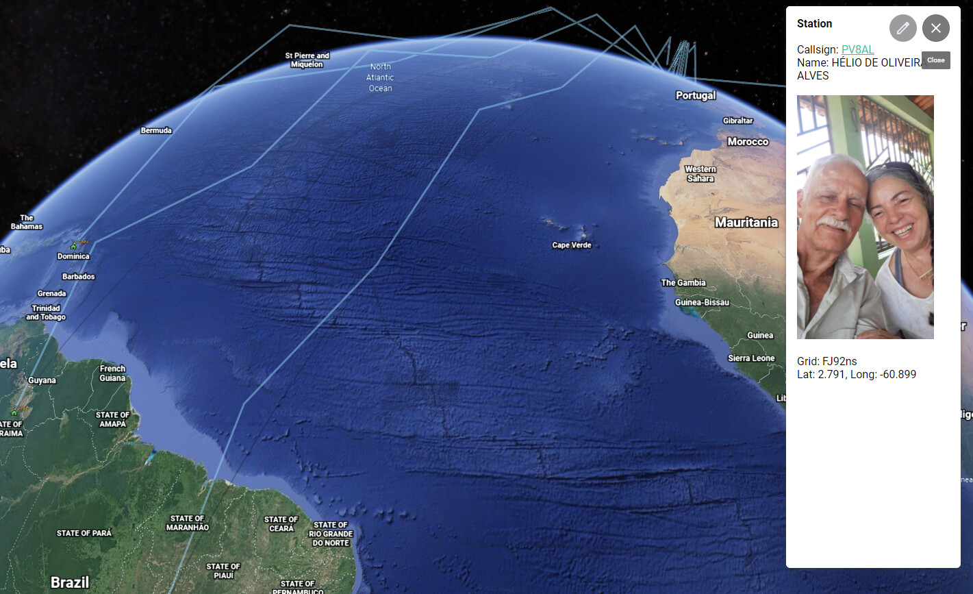
I have been working on a piece of software that was initially designed to populate some information in the ADIF file coming from Fast Log Entry, but has since morphed to have the ability to generate Google Earth KML files. I’ve added a prediction of the propagation path for HF signals which is very rudimentary but is already providing insights.
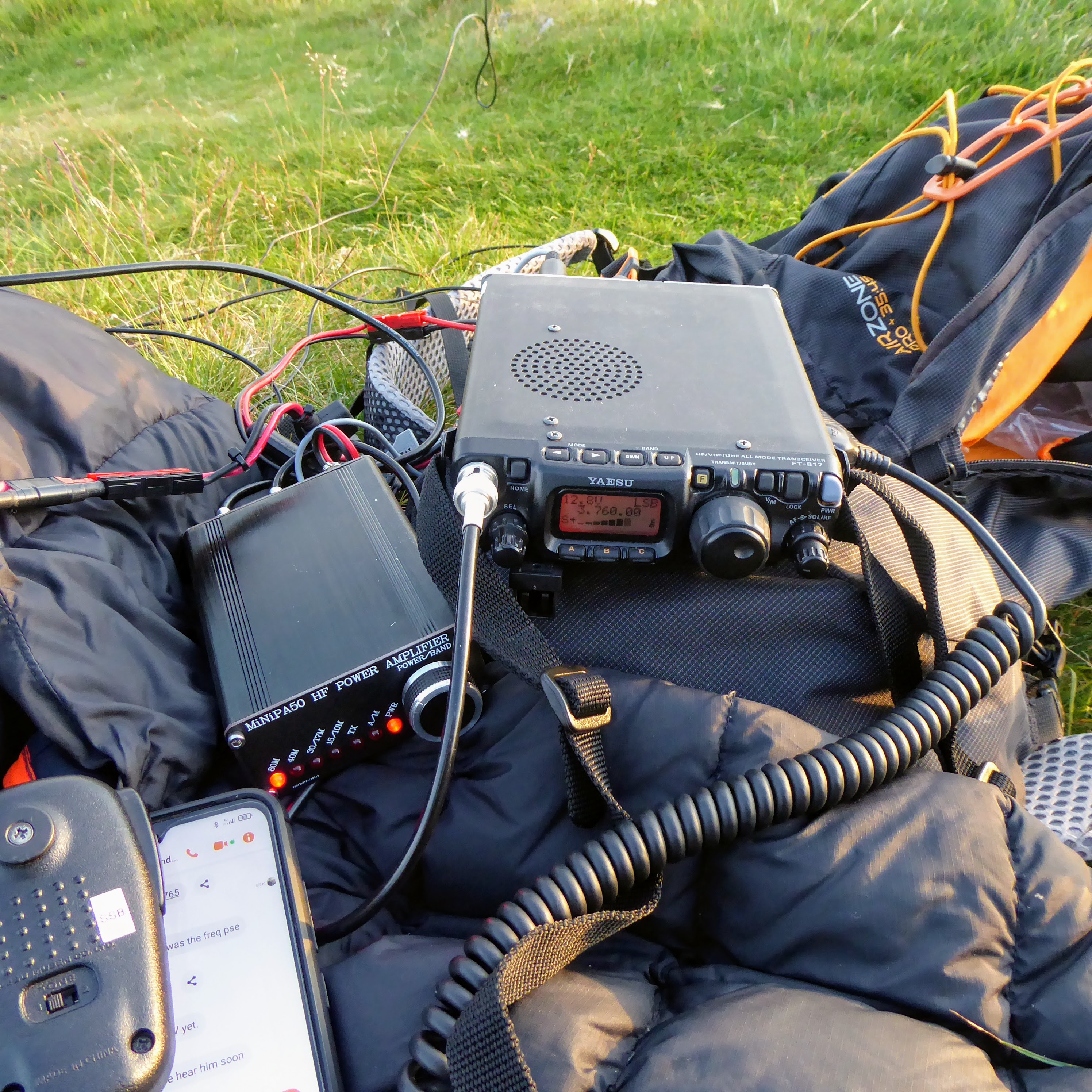
HF Gear
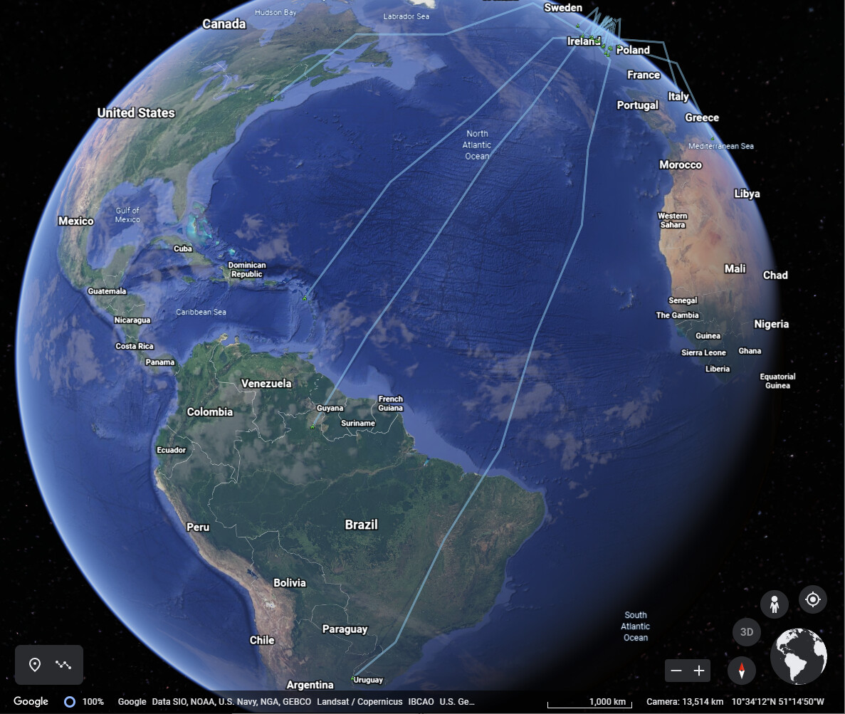
HF Contacts to North & South America
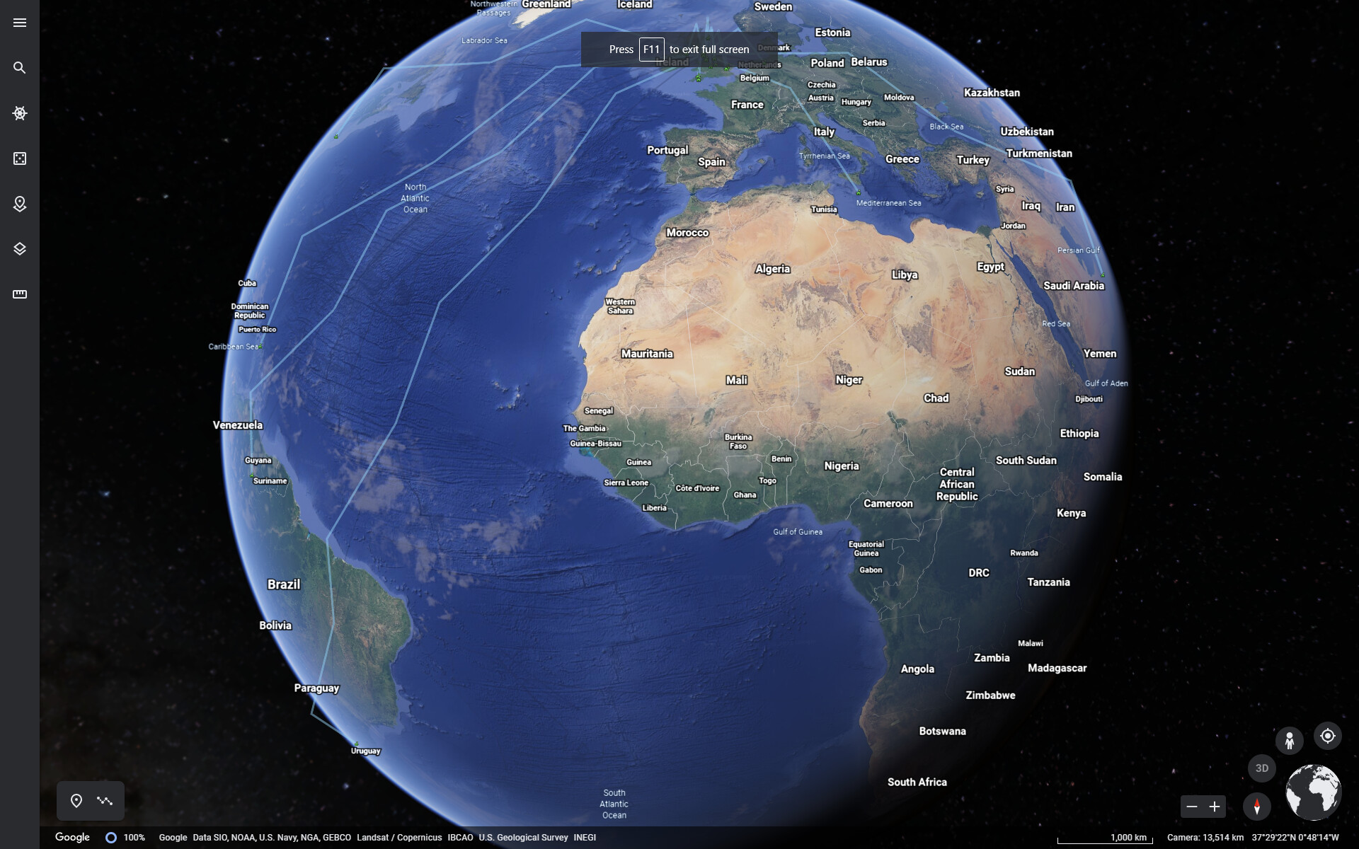
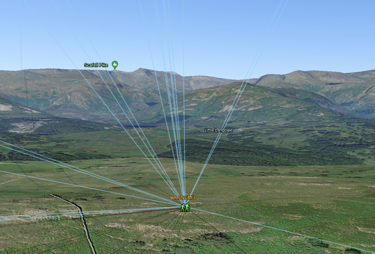
Covering half the globe!
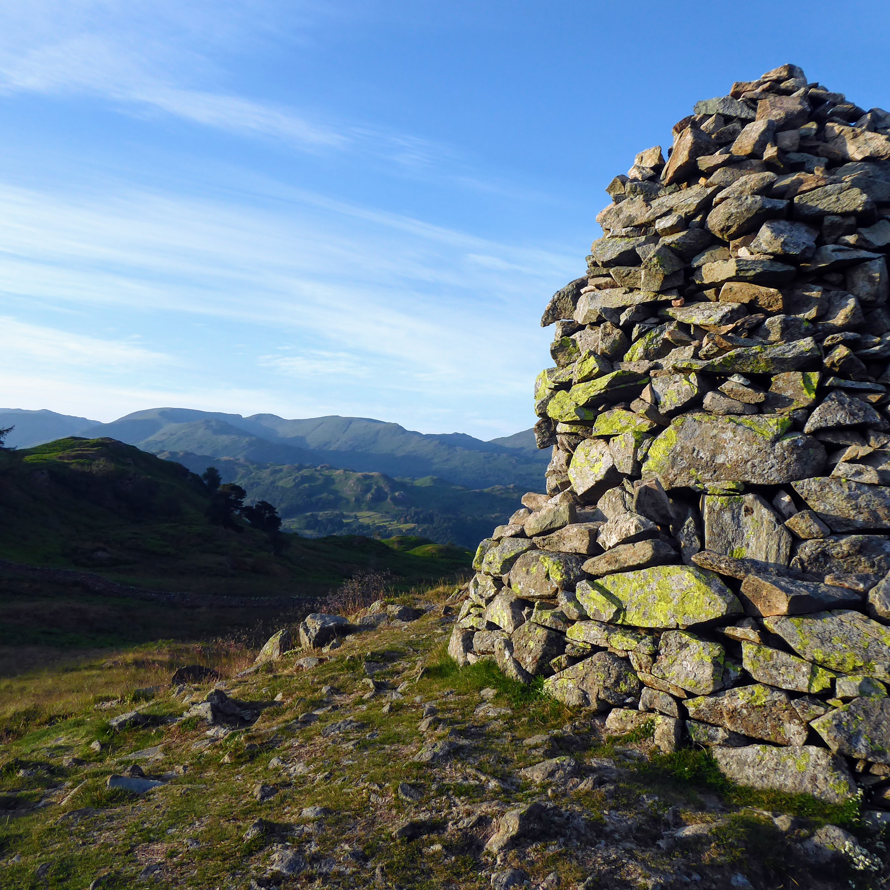
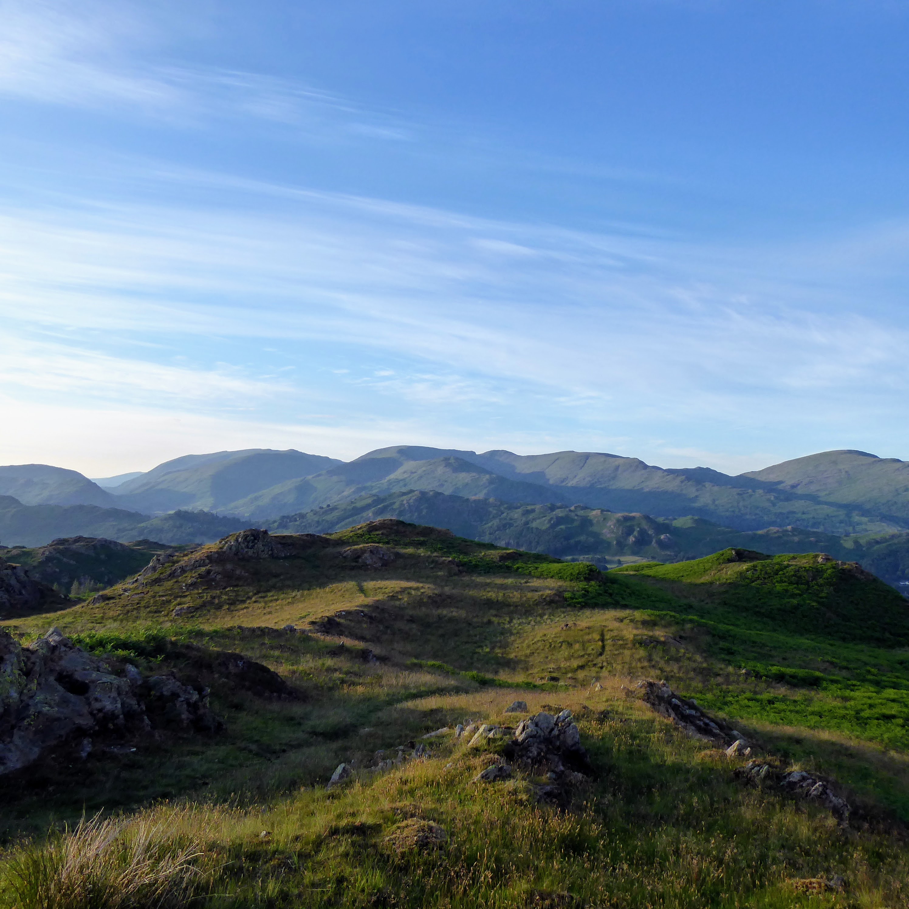
My view towards the setting sun
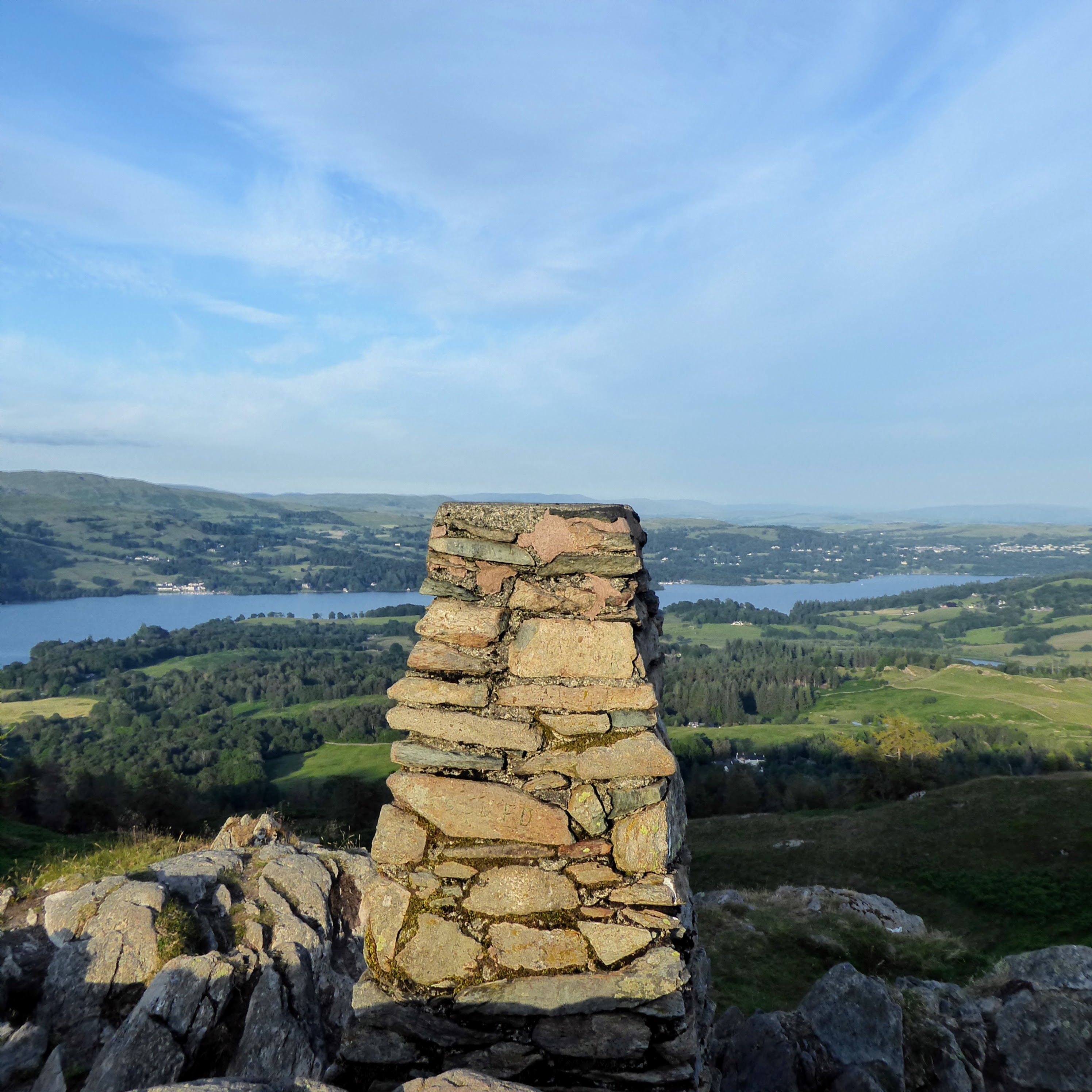
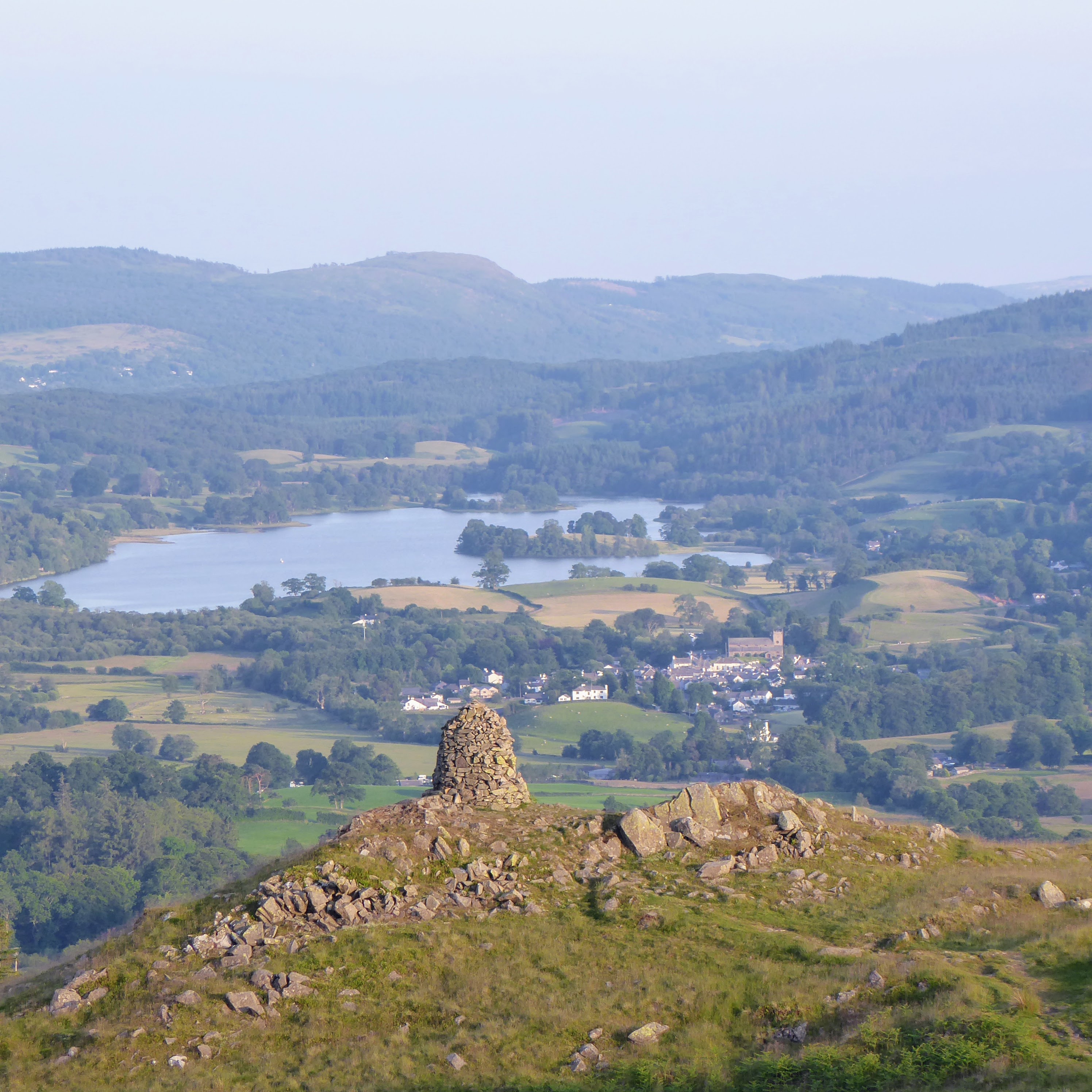
Ambleside

Dunmail Raise

Harrison Stickle
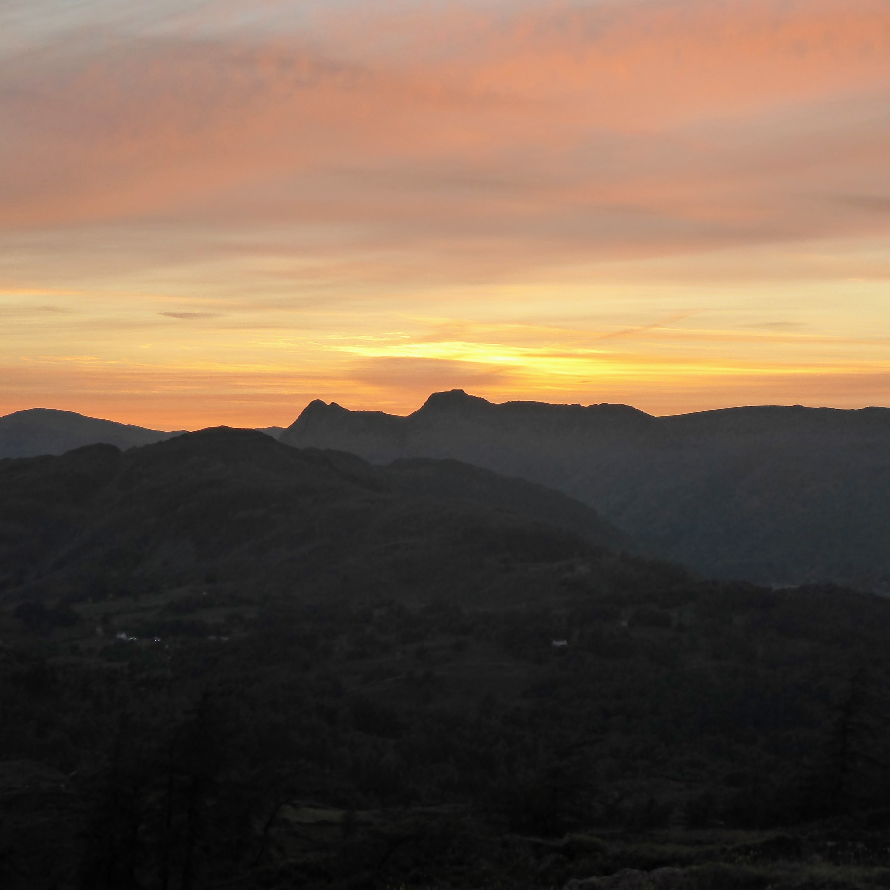
The Langdales