It’s a little over a week ago since we did this walk, so memories may be a little rusty…
The last minute plan was to complete a walk with Luke in such a way that we could collect Jude (M7KOM) from work at Cyclewise Whinlatter at 5:15pm local time. It did not quite go to plan. Jude had been racing at the Velodrome on Monday evening. Things wrap up about 10pm, so it’s close to 1pm when we get home, stopping for ice cream and coffee along the way. As a result it was not until mid morning that I hatched the this plan. Luke and I set off from home just after lunch, dropped a radio off with Jude at work and then parked up at Revelin Moss Car Park to start the walk.
I had planned the walk on OS Maps and downloaded the route to the phone before we left the house - I’ve learnt this the hard way - you can’t count on good phone signal. There was plenty of car parking when we arrive, surprising given that the main carpark at Whinlatter was full.
[1hr wasted trying to get iPhone photos to sync to cloud. I hate iPhones!]
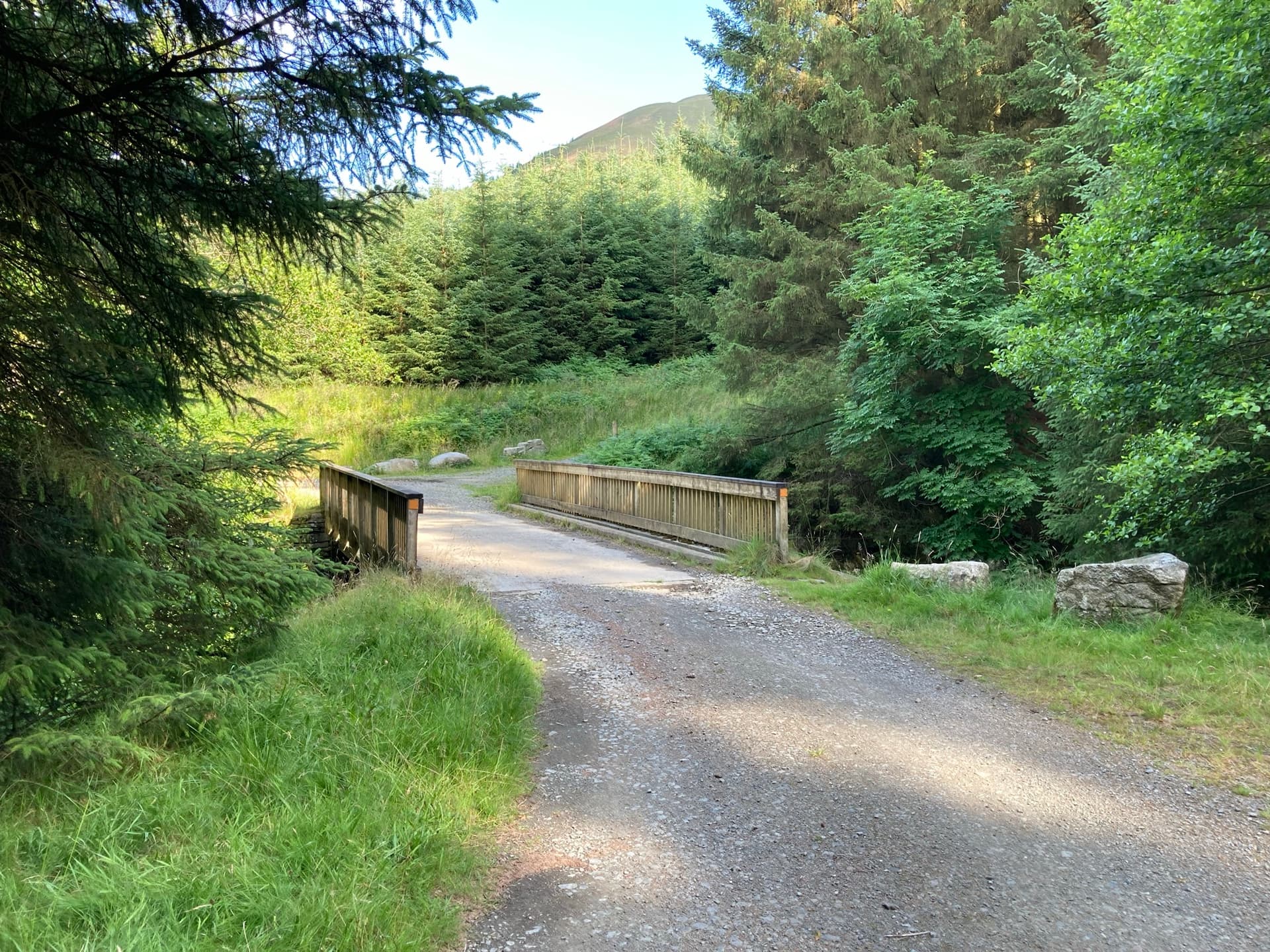
We set off from the Car Park and followed the planed route from Revelin Moss car park to join up with the Red South Route briefly turning left off the forest road and then almost immediately right, through a gate and then proceed to head up hill for what seemed like an eternity.
View looking back at the gate.

The start of the climb.
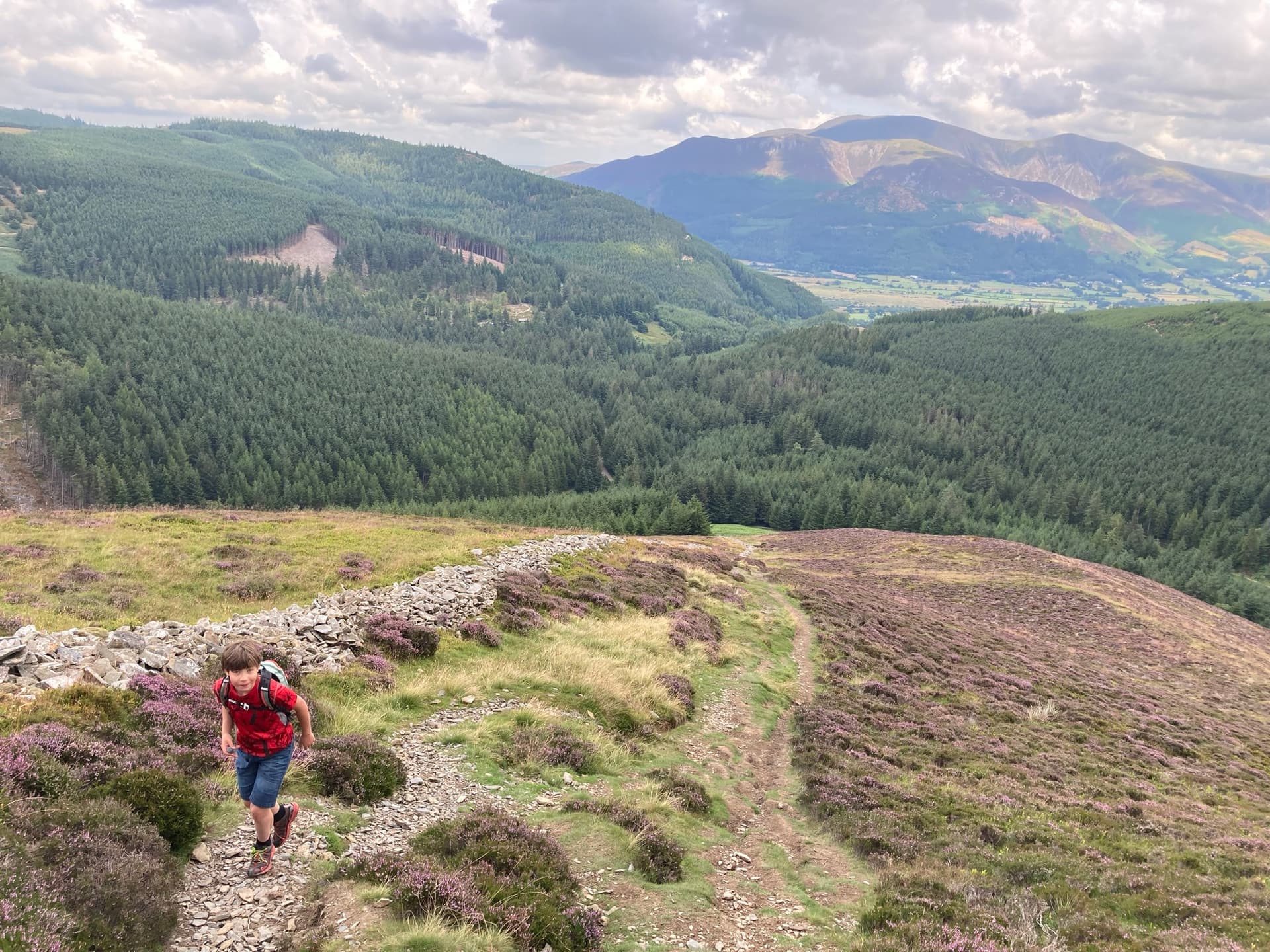
Luke with a smile - not easy to achieve without sweets! Views looking back down the hill.
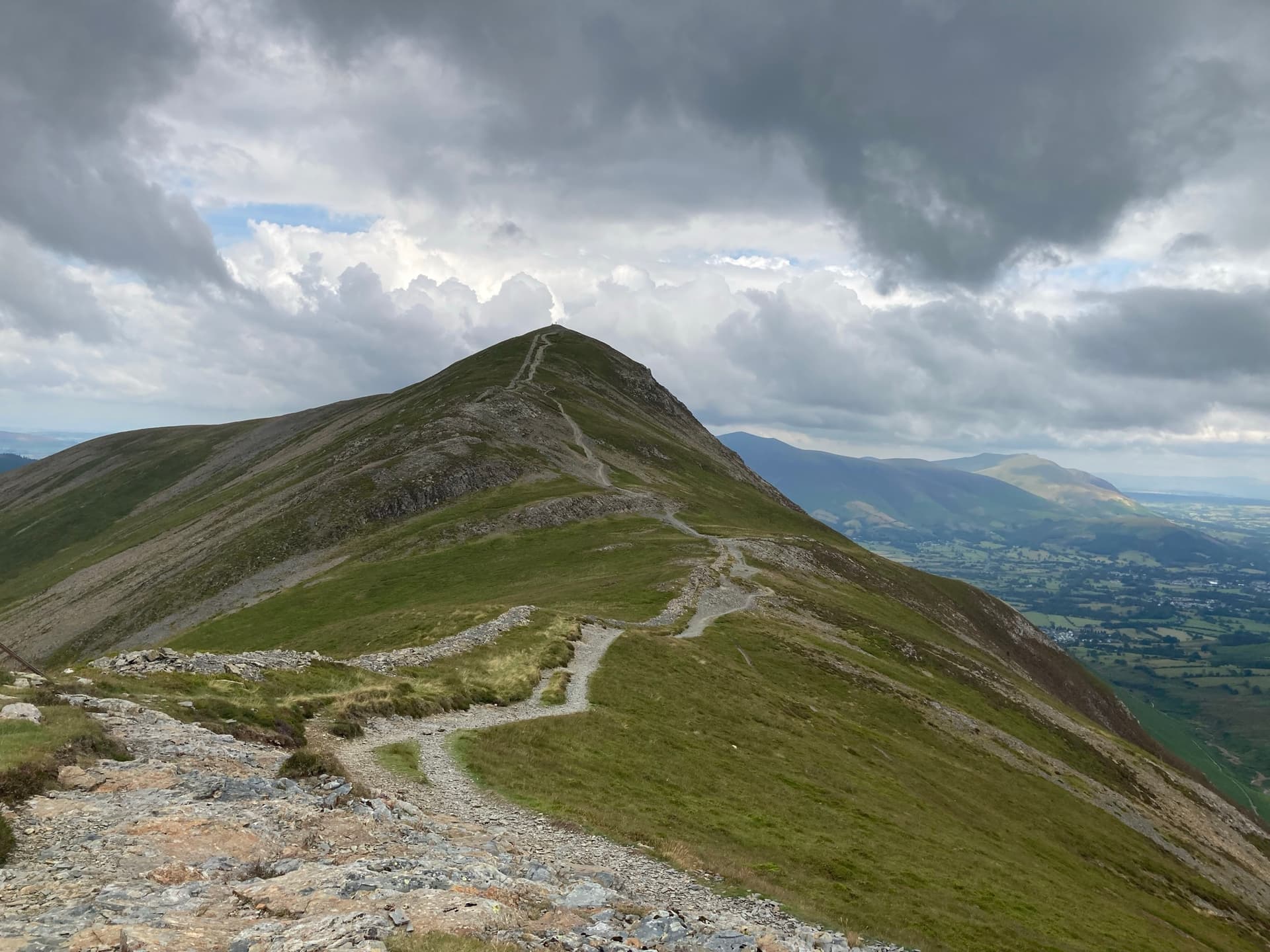
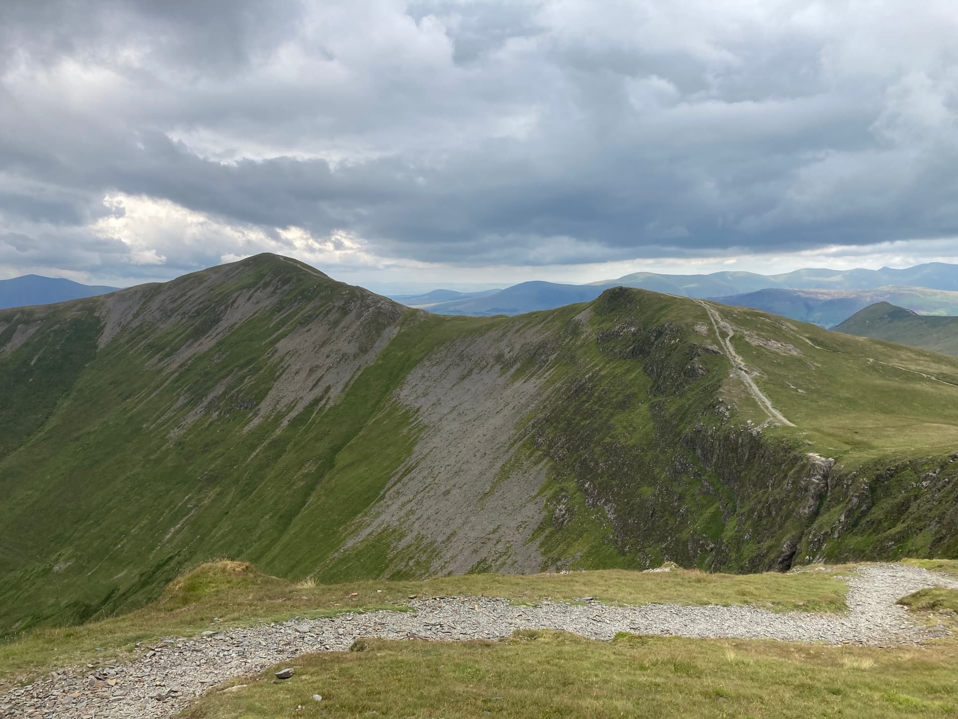
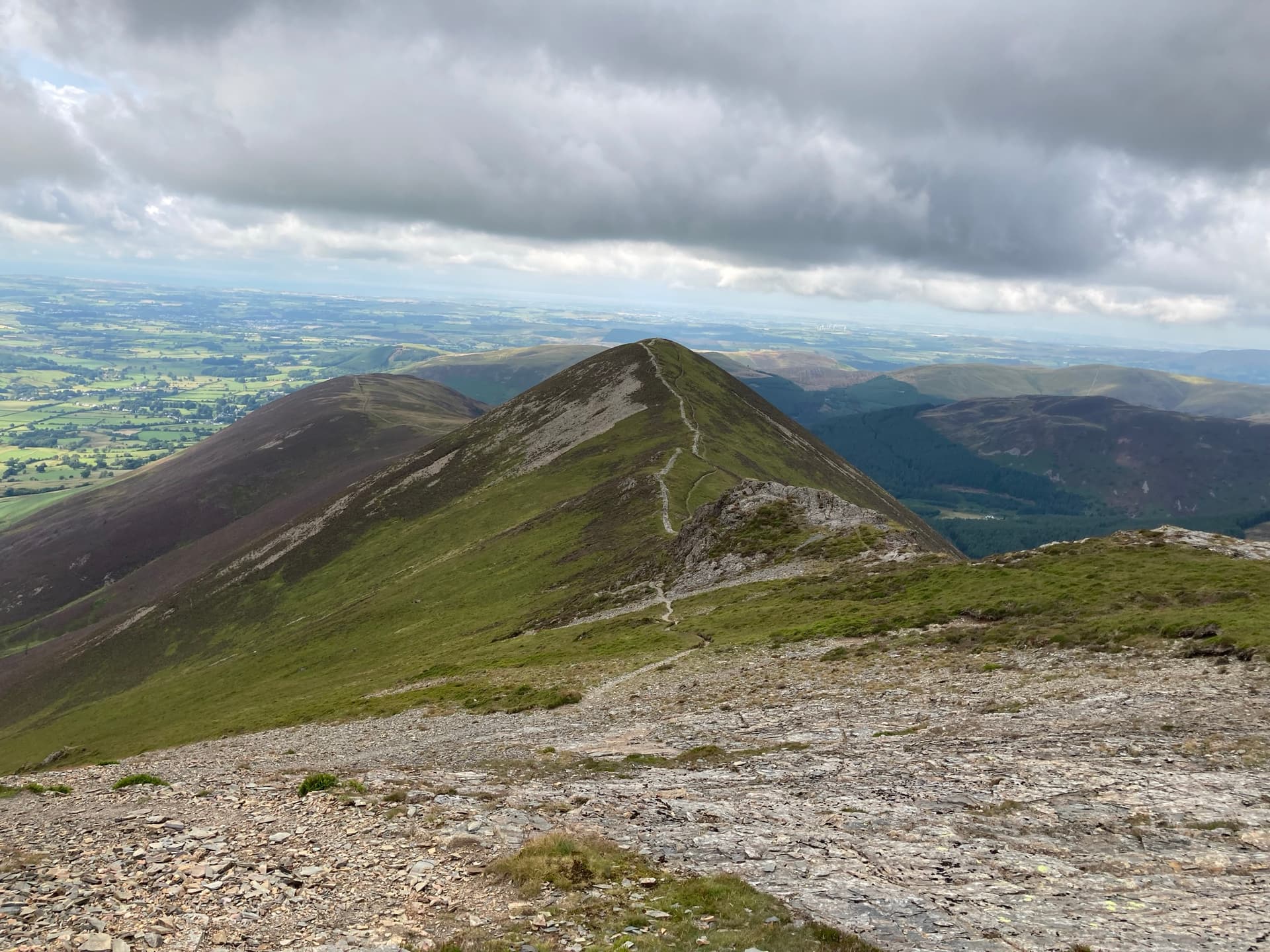
Luke pointing out the top, of course it was not the top, not even close! We kept on walking. We only saw 3 people on our way up. It was very quite.
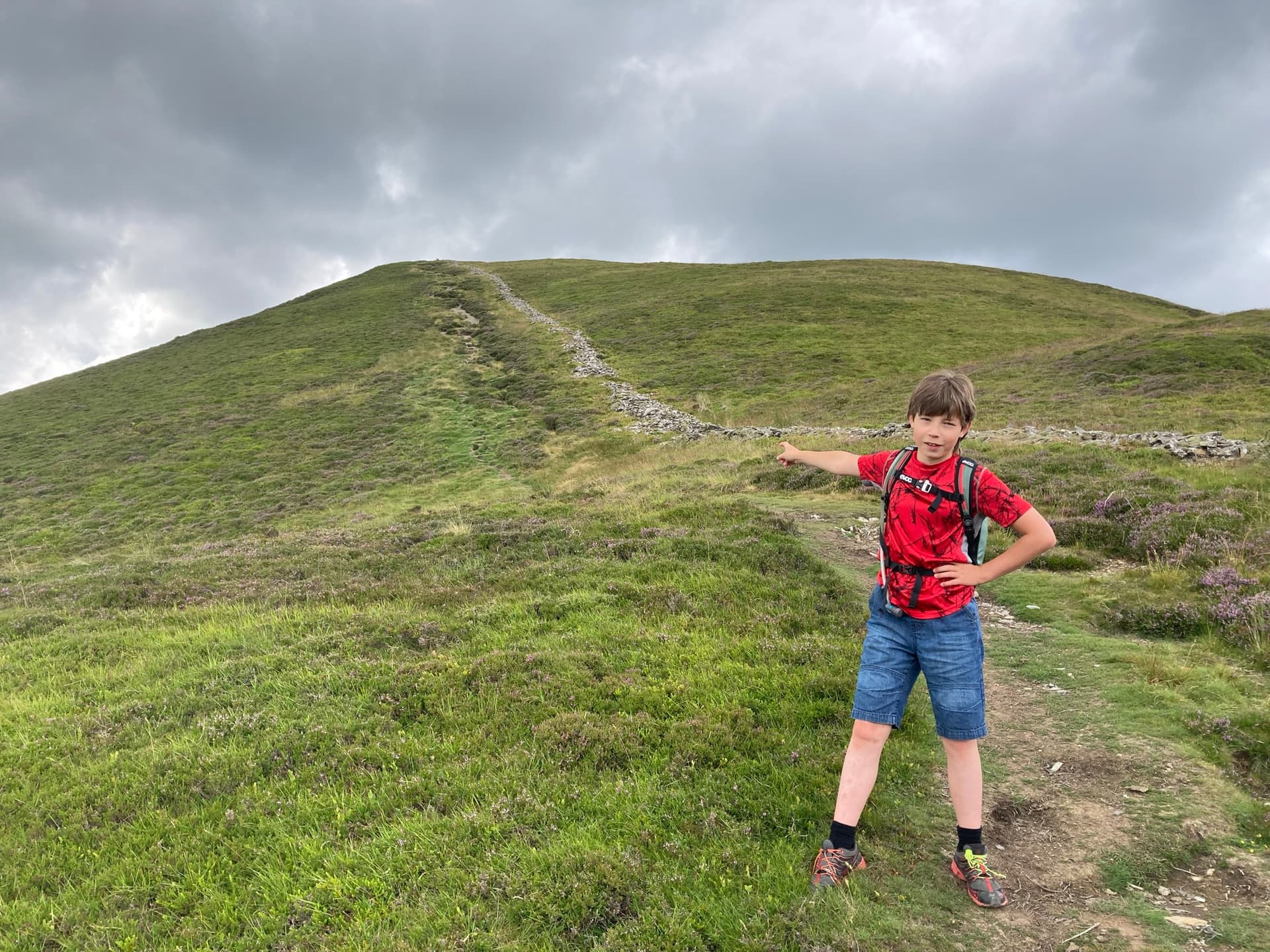
Is that another false summit - for sure it is!
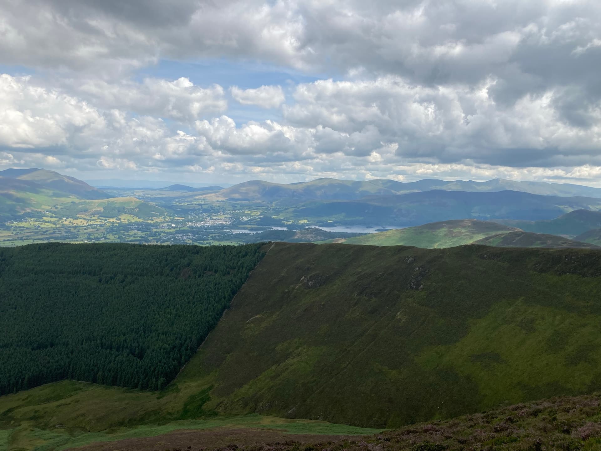
Still on our way up, Keswick comes into view.
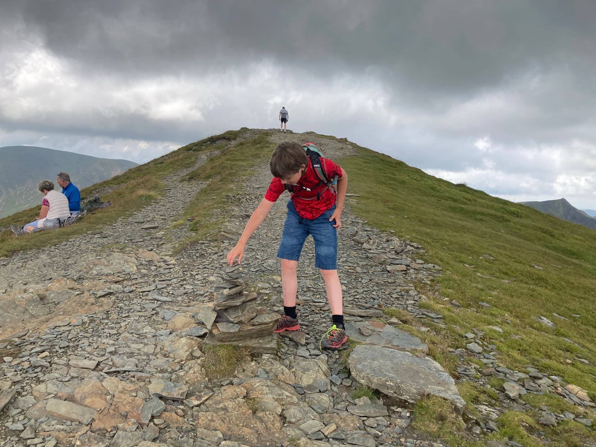
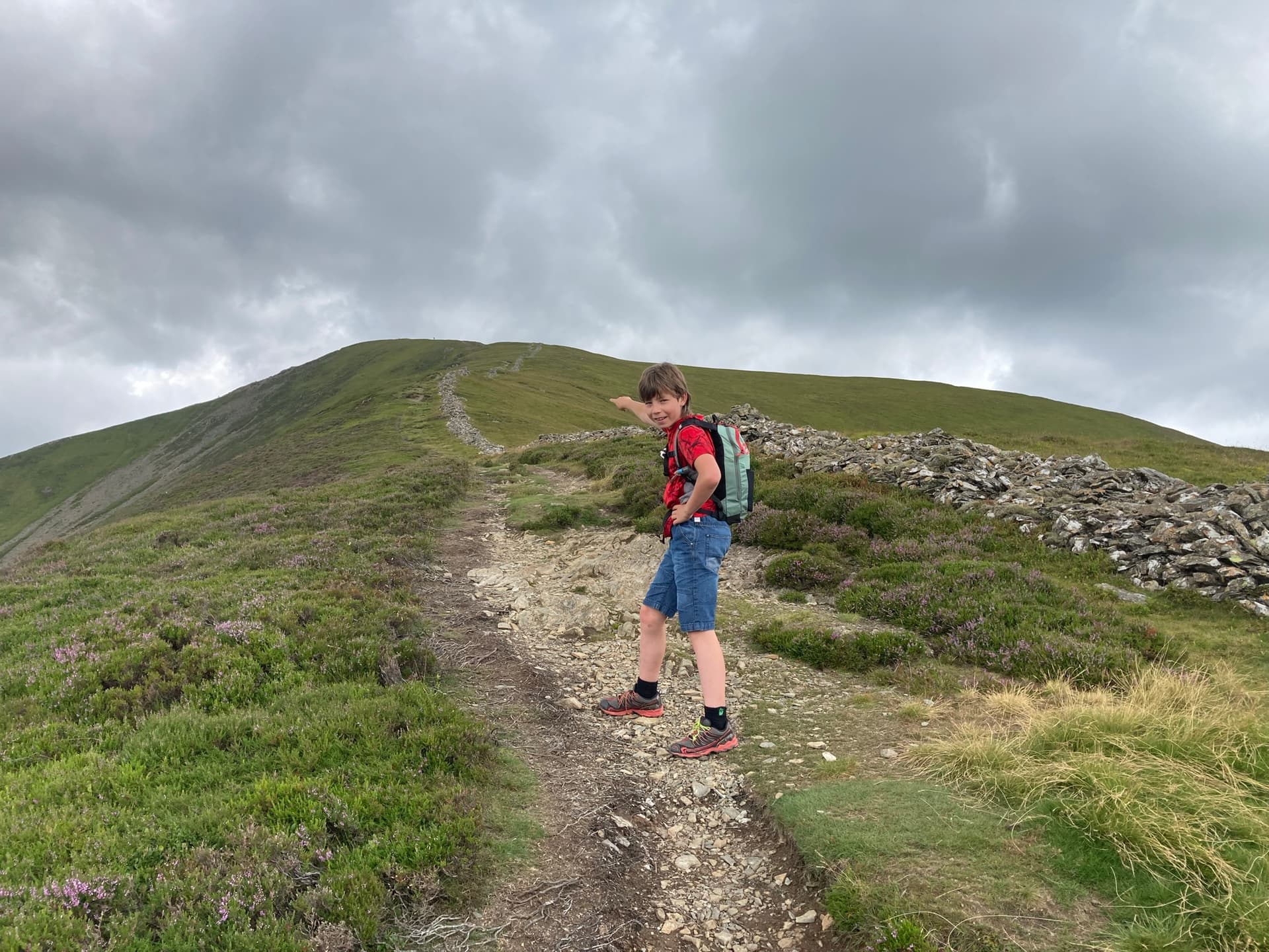
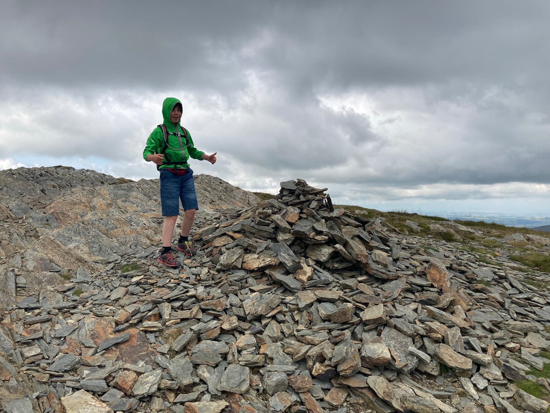
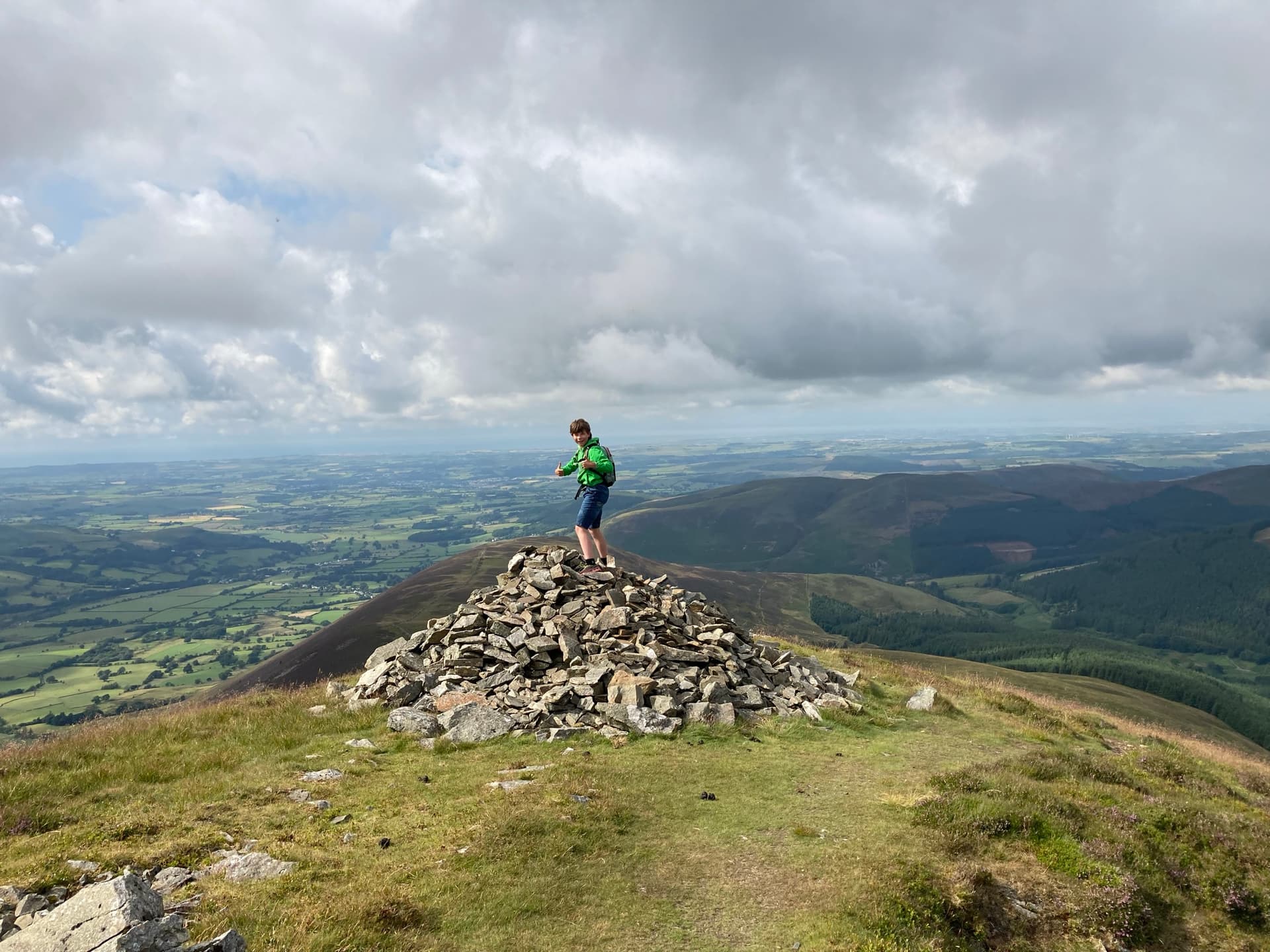
Nearly there now. A few more people close to the summit too. Luke adding to a bunch of stones.
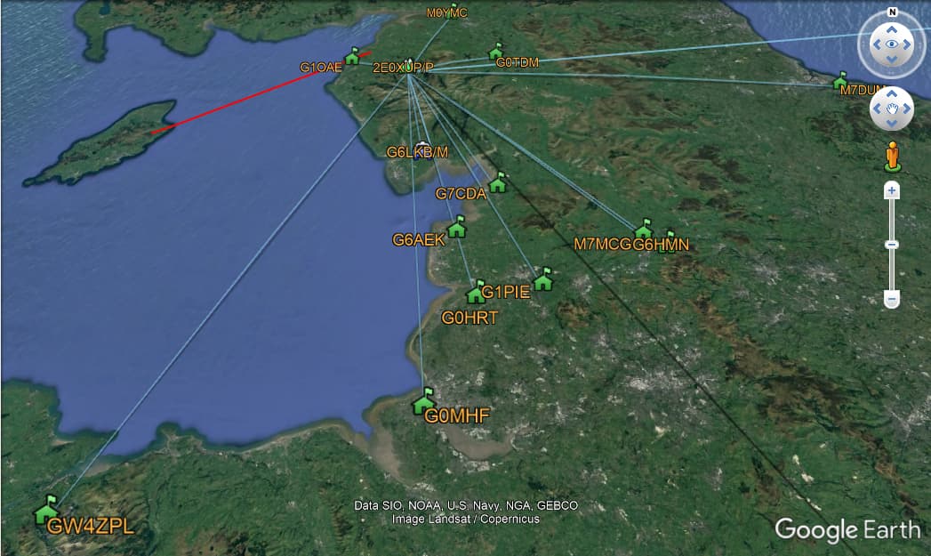
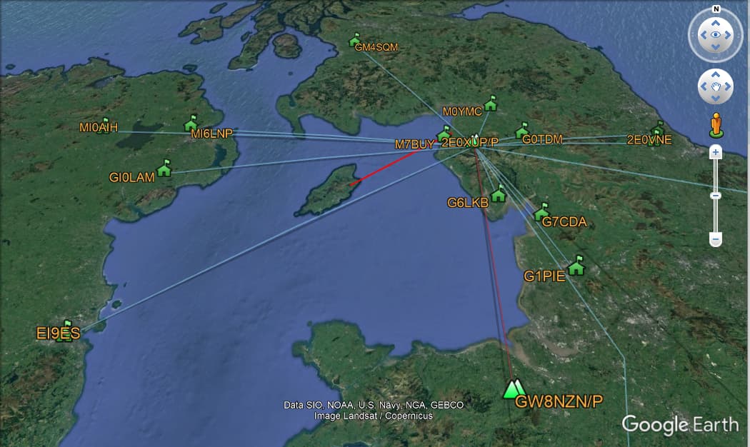
Did not take any photos at the top, but we found a some rocks to sit on a little out the way of the path and Luke fired up YouTube and started munched on some food and got set up. Was very pleased with the contacts received, as I have not announced the walk with much notice. 16 contacts on total including some for a little way away. Messed about with Marks, @M0NOM, fancy tool and it works well.
Grisedale Pike
| WOTA ID: LDW-040 | Height: 791 m (2595 ft) |
|---|---|
| SOTA ID: G/LD-015 | Grid ref: NY198225 |
| HuMP ID: n/a | QTH Locator: IO84JO |
| Book: The North Western Fells | Lat: 54.591196 Long: -3.241306 |

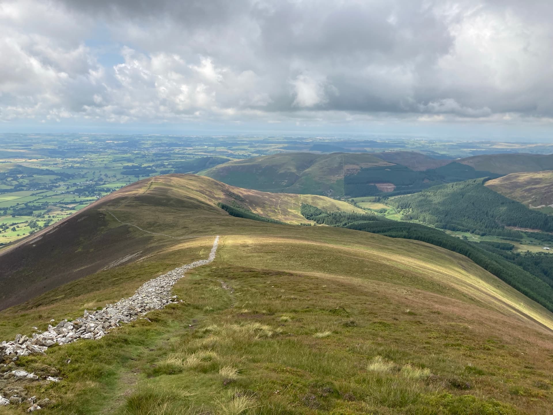
We set off again and decided to continue on to Hope Gill Head.
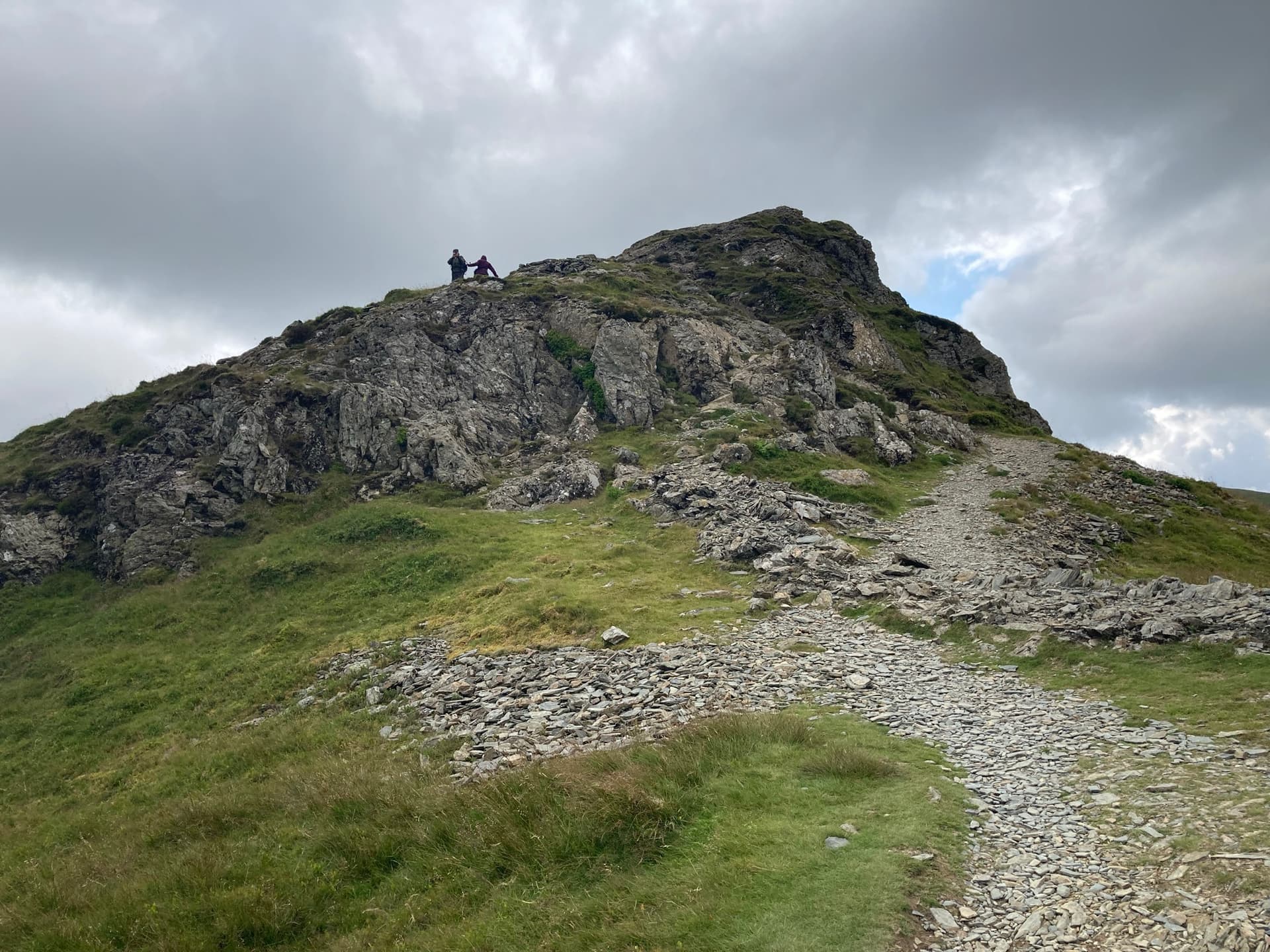
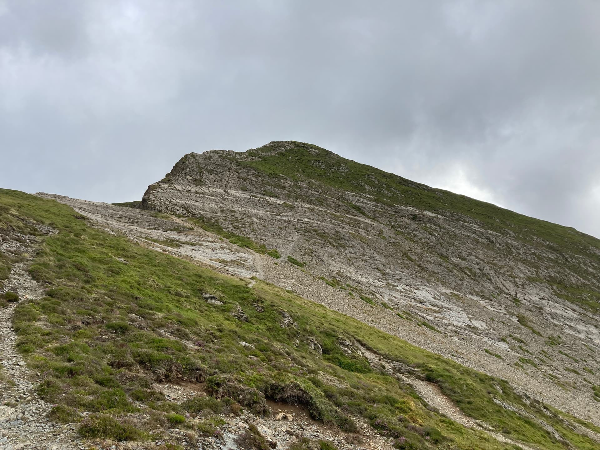
A rocky outcrop on the way. Should have looked at the map, but could it be Hobcarton Crag? Please comment below.
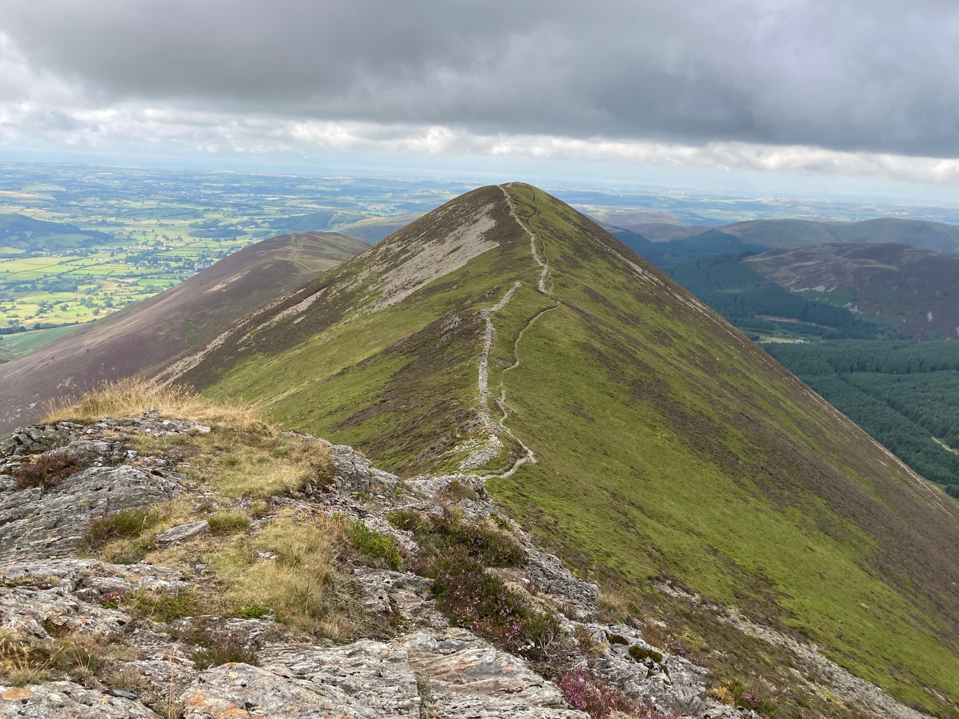
Looking back towards Grisedale Pike.
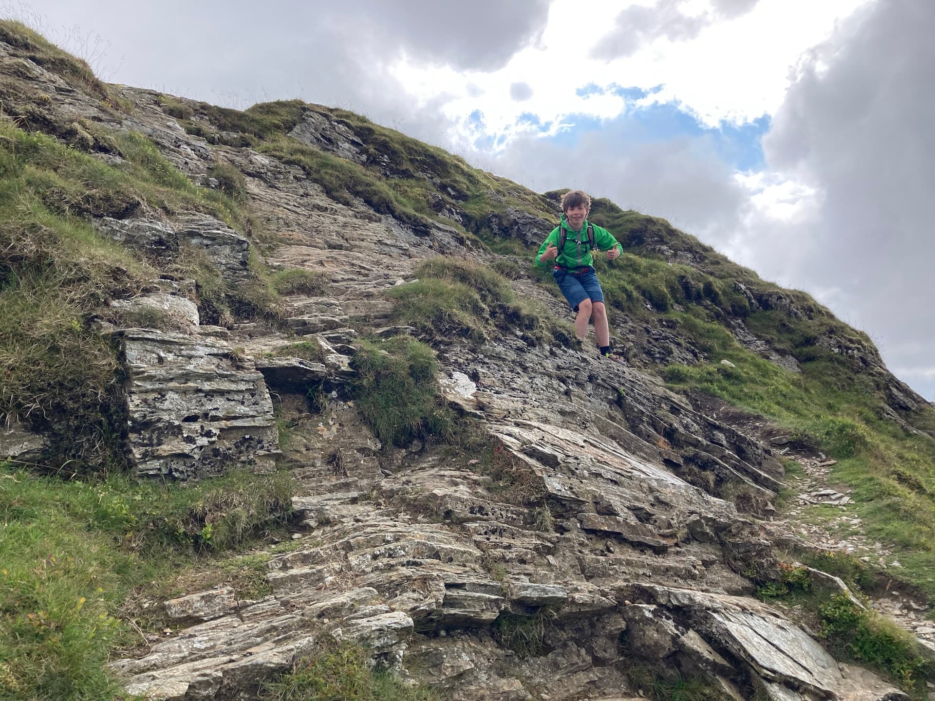
Luke heading over the rocky outcrop.
We made it.
We had not seen may folk at all, but when we arrive at Hope Gill Head we did so with another couple of groups of people, one of whom offered to take our photo.
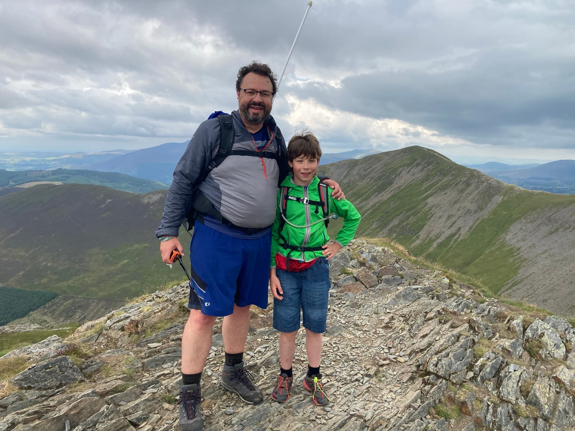
I’d been talking to Robin on the way, hence the handheld in hand. No amount of photoshopping woudl get rid of the gut!
Looking back.
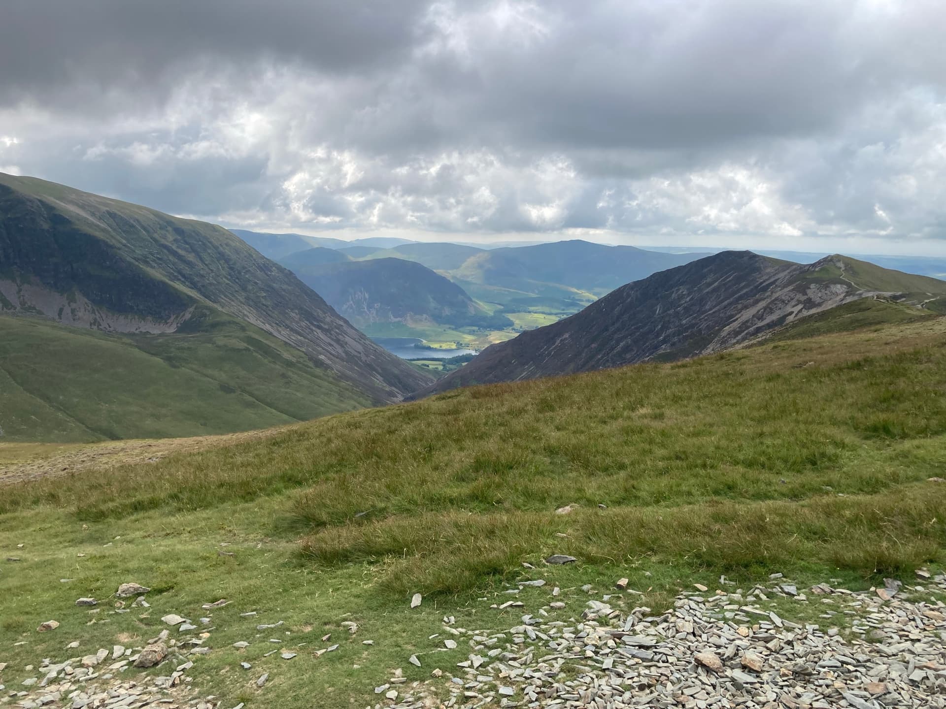
View of Bassenthwaite Lake.
Hopegill Head
| WOTA ID: LDW-053 | Height: 770 m (2526 ft) |
|---|---|
| SOTA ID: n/a | Grid ref: NY185221 |
| HuMP ID: n/a | QTH Locator: IO84IO |
| Book: The North Western Fells | Lat: 54.587394 Long: -3.261311 |
Again, 16 contacts, some from even further afield. EI9ES was the biggest hop.

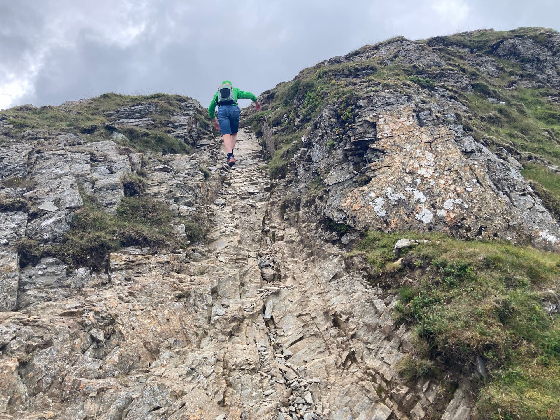
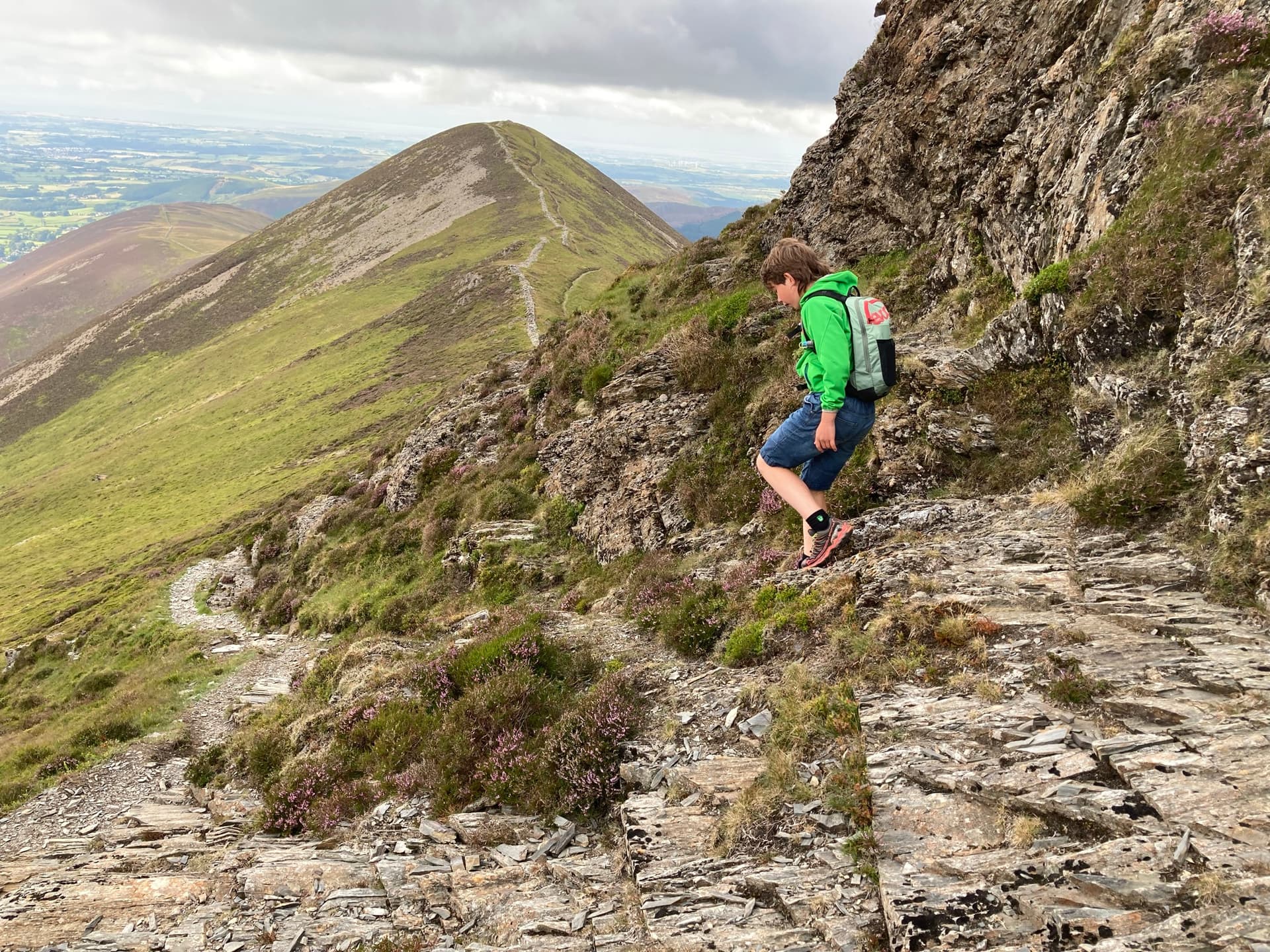
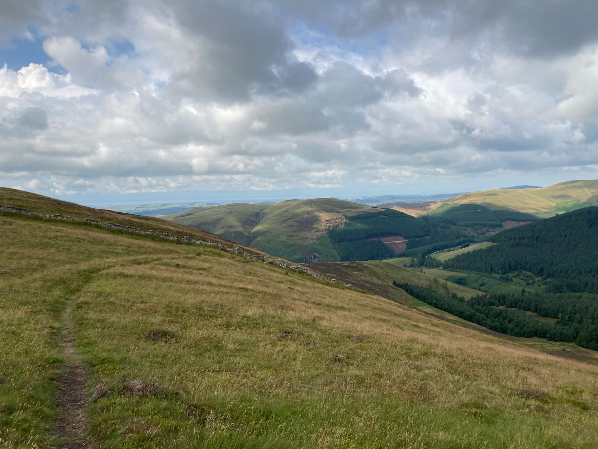
We set off again, the plan was to get back to Whinlatter for 5:15pm (local time), but it was looking unlikely. The first part of the walk back was, for me at least, hands, feet and bum on down as we, very carefully, headed down to the path.
Not easy, would not appreciate that on a wet day.
Nearly done, we are headed to where you can just see the tree line behind the higher ground. Looking back. Like I say, I found that bit troublesome.
We continued. Another rocky outcrop.
Keeping to the LHS on the way around it.

More rocks.
Turn down towards the finish line approaches. We are getting closer and further behind all the time.
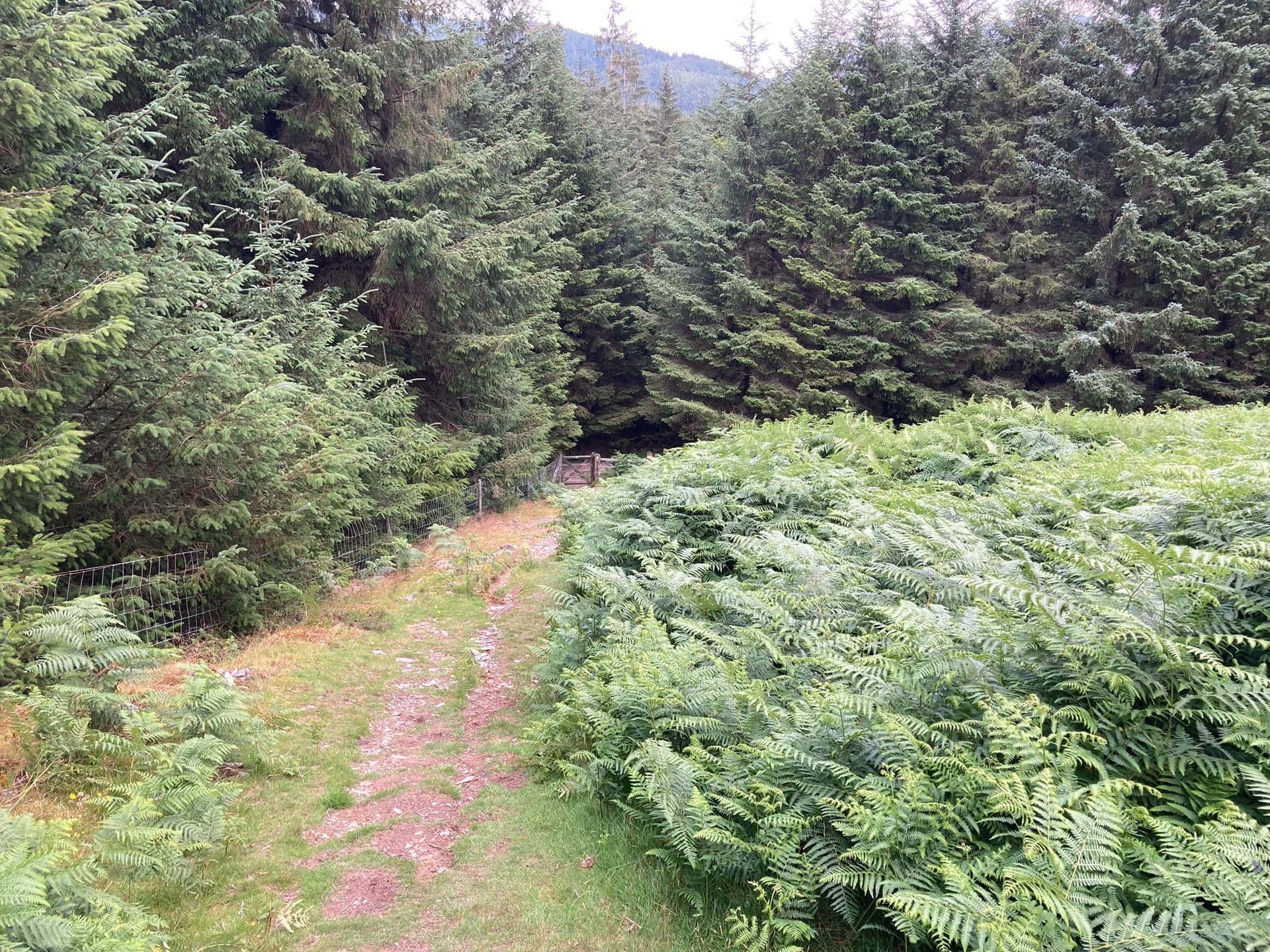
A gate approaches. We turn right and head down on the other side.

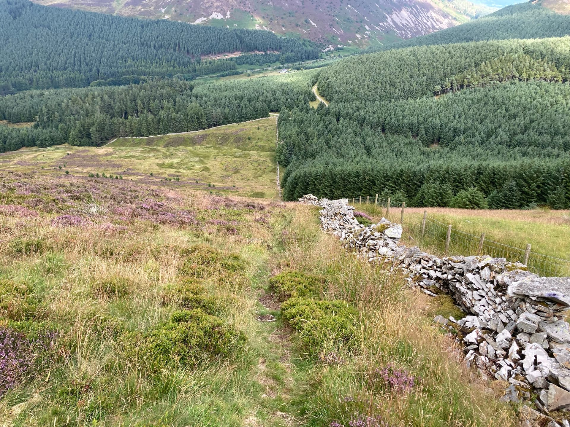
Heading down following the fence was much steeper than I anticipated.
We made it, well nearly - spoken to Jude on the radio as we were very late. He met us at the Car - we arrived at 6pm.
It was a good walk, without time constraints, it would have been a good idea to activate Whiteside at the same time. That will have to wait for another day.
The route taken.

