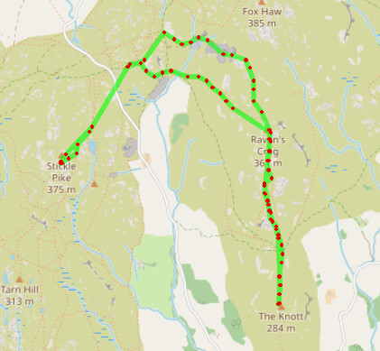
My goal for today was to activate the two fells with the dubious accolade of being the longest since the last activation. Previously I had visited the Dunnerdale Fells but only ended up activating Stickle Pike. The two in focus today, Raven Crag and The Knott are on the opposite side of the horseshoe.
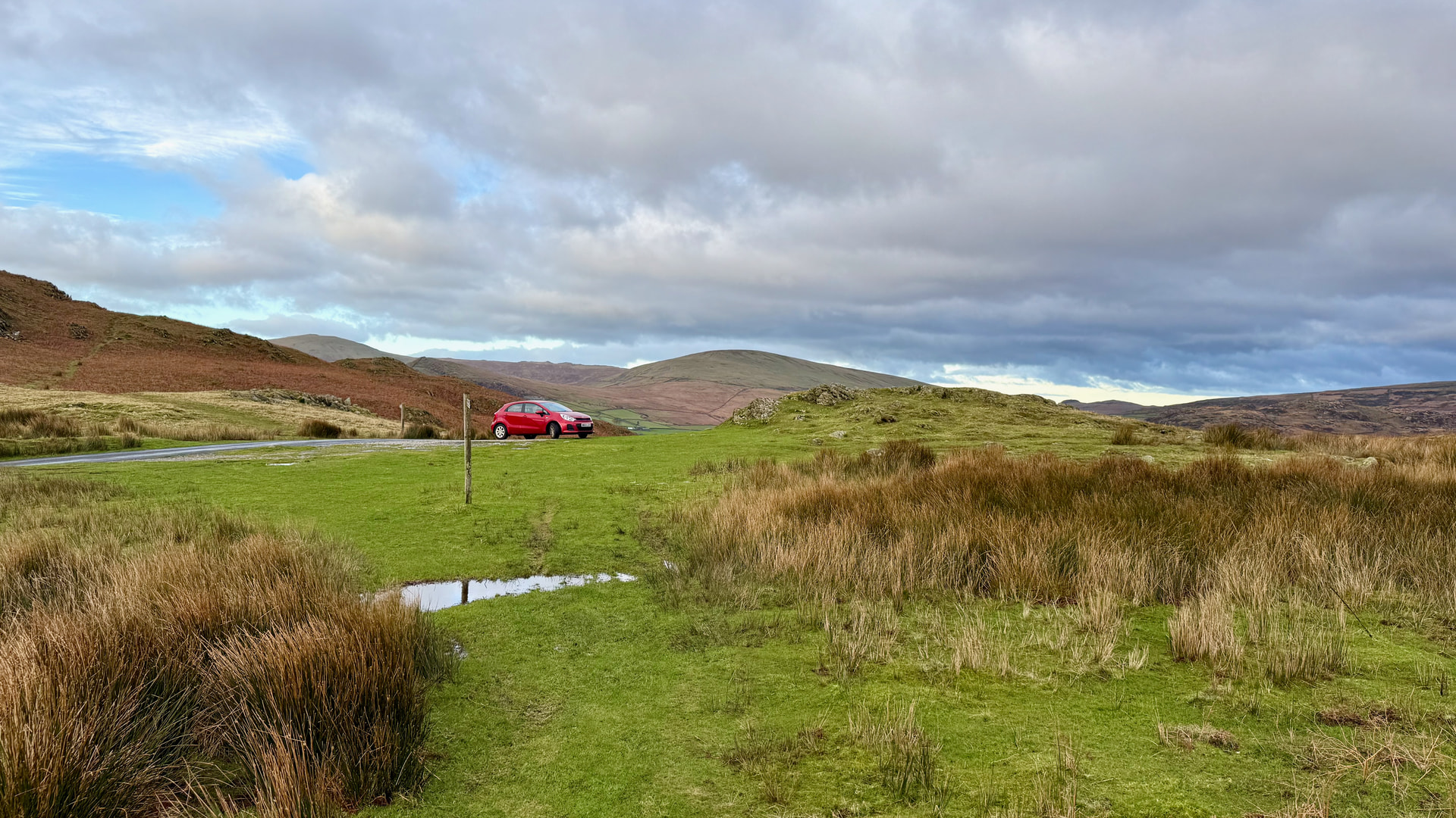
I took the slightly shorter southerly option from Windermere via Newby Bridge, Greenodd and Broughton in Furness. Parking is at 54.329095652926235, -3.209052447924795 or use this Google Maps Pin. This is a fairly unusual situation that you are able to gain a reasonable amount of height. Signs of slate mining here is probably why this road ‘over the tops’ exists.
Parking Location
I’d recently posted about the Top 30 Oldest Activated Summits and once I’d seen these two were the top of the list knew that I would be very happy to come back to this area. Weather conditions were good but windy. Precipitation was in evidence to the North West but seemed to get stuck on the larger mountains. For a good 10 minutes, for example, there was a permanent rainbow.
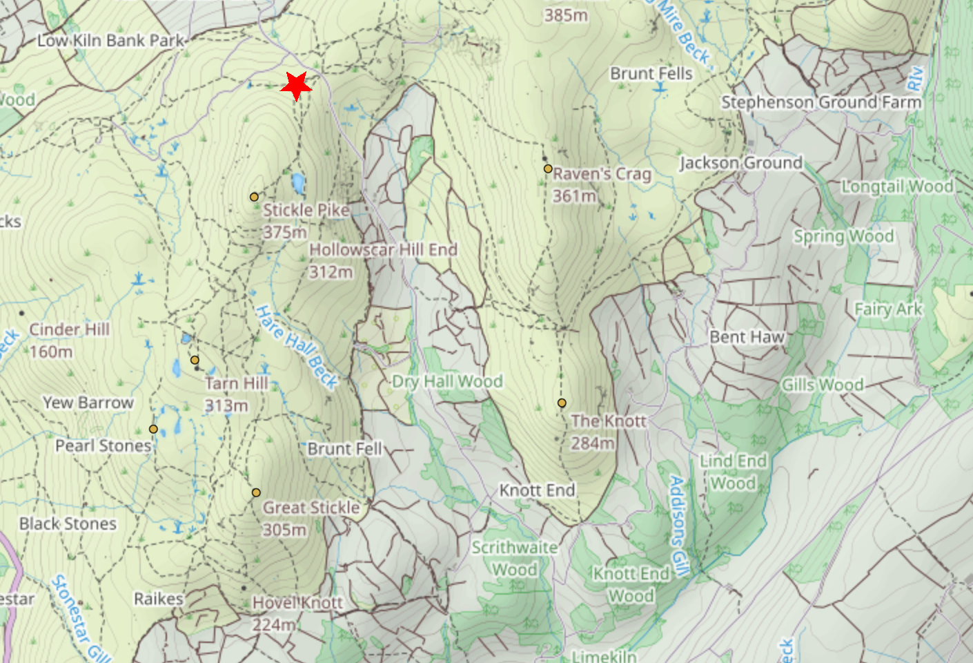
Parking location marked by the star
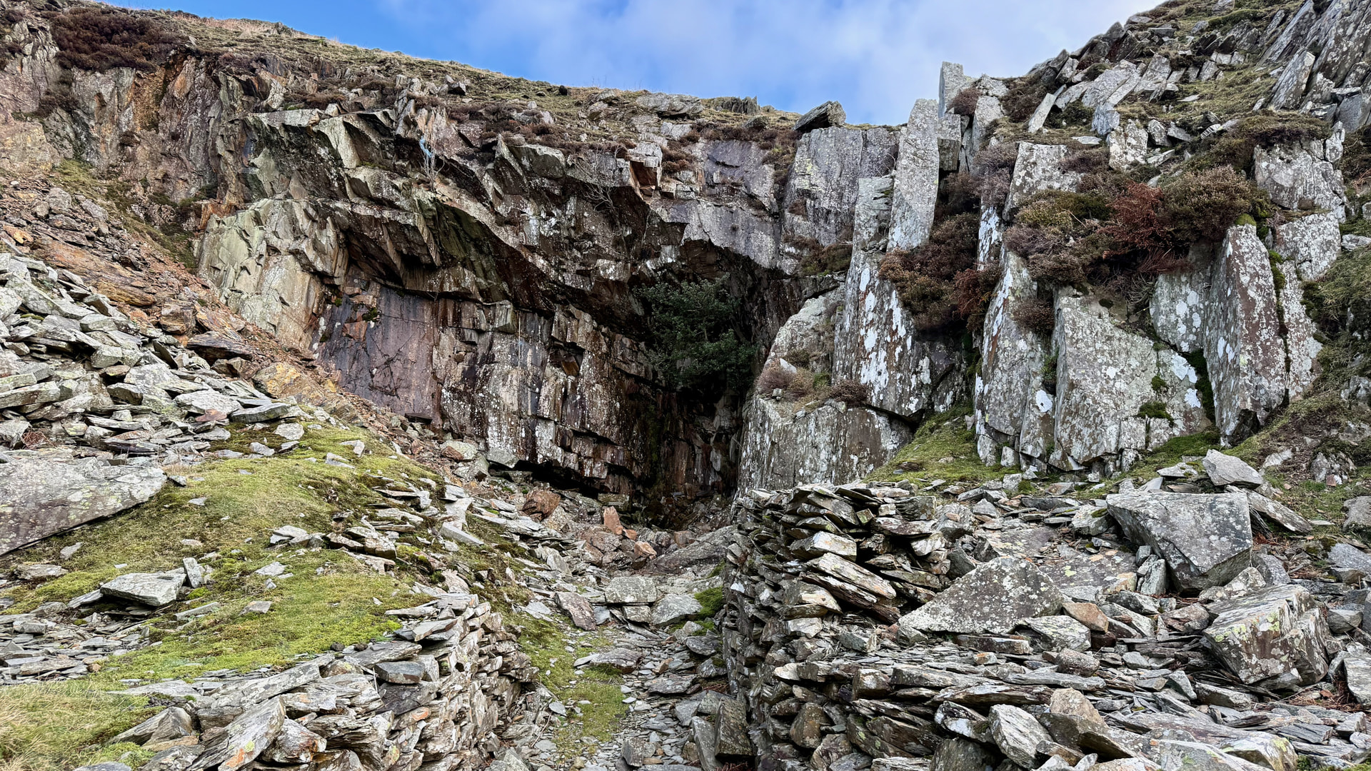
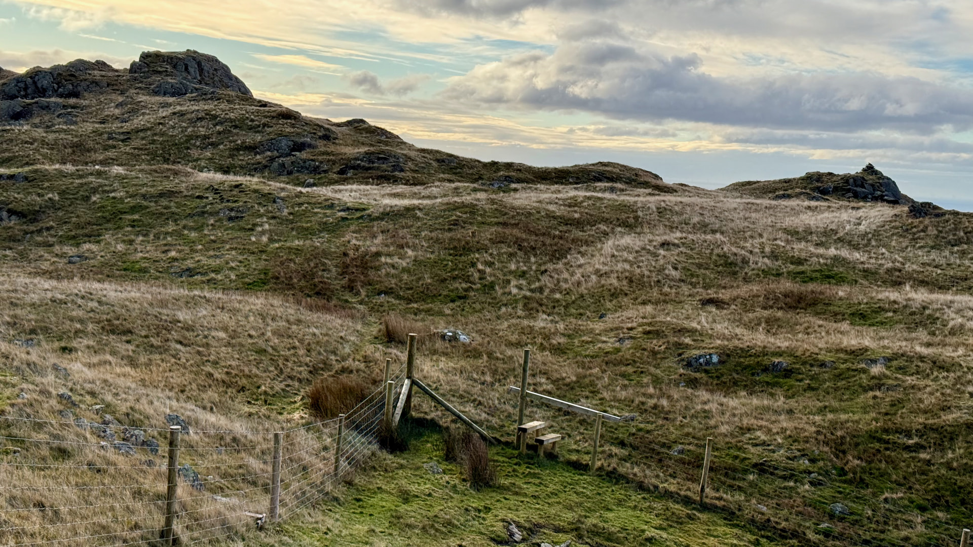
Of course I set off in the wrong direction initially - as you look at the ridgeline Raven’s Crag is a fair way to the south of the higher point. However, this allowed me to inspect a couple of caves that were undoubtedly entrances to slate mines.
Eventually I picked up what looked like the most direct path at the point of the stile over the fence. From that point on the path to Raven Crag is very obvious.
Stickle Pike (Raven’s Crag)
| WOTA ID: LDO-058 | Height: 361 m (1184 ft) |
|---|---|
| SOTA ID: n/a | Grid ref: SD223929 |
| HuMP ID: n/a | QTH Locator: IO84JH |
| Book: The Outlying Fells | Lat: 54.325599 Long: -3.194848 |
For equipment I had a few things. My revived 1986 Kenwood Handheld, Yaesu FT-1XD handheld, Spectrum Communications Slim J, a 5m travel mast, ICOM IC-705 and, in reserve, an end-fed trapped 20/30/40m HF antenna.
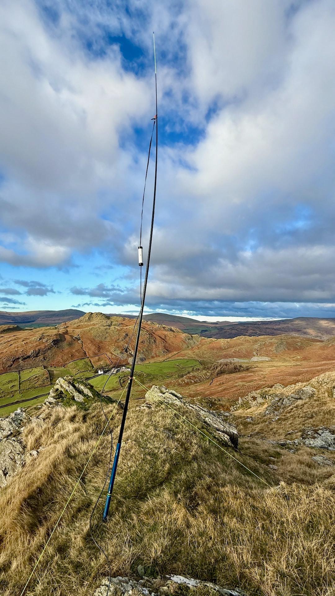
Spectrum Communications Slim-J on 5m mast
For the most part I was able to guy the antenna mast successfully without it collapsing more than a couple of times. It was quite gusty at times.
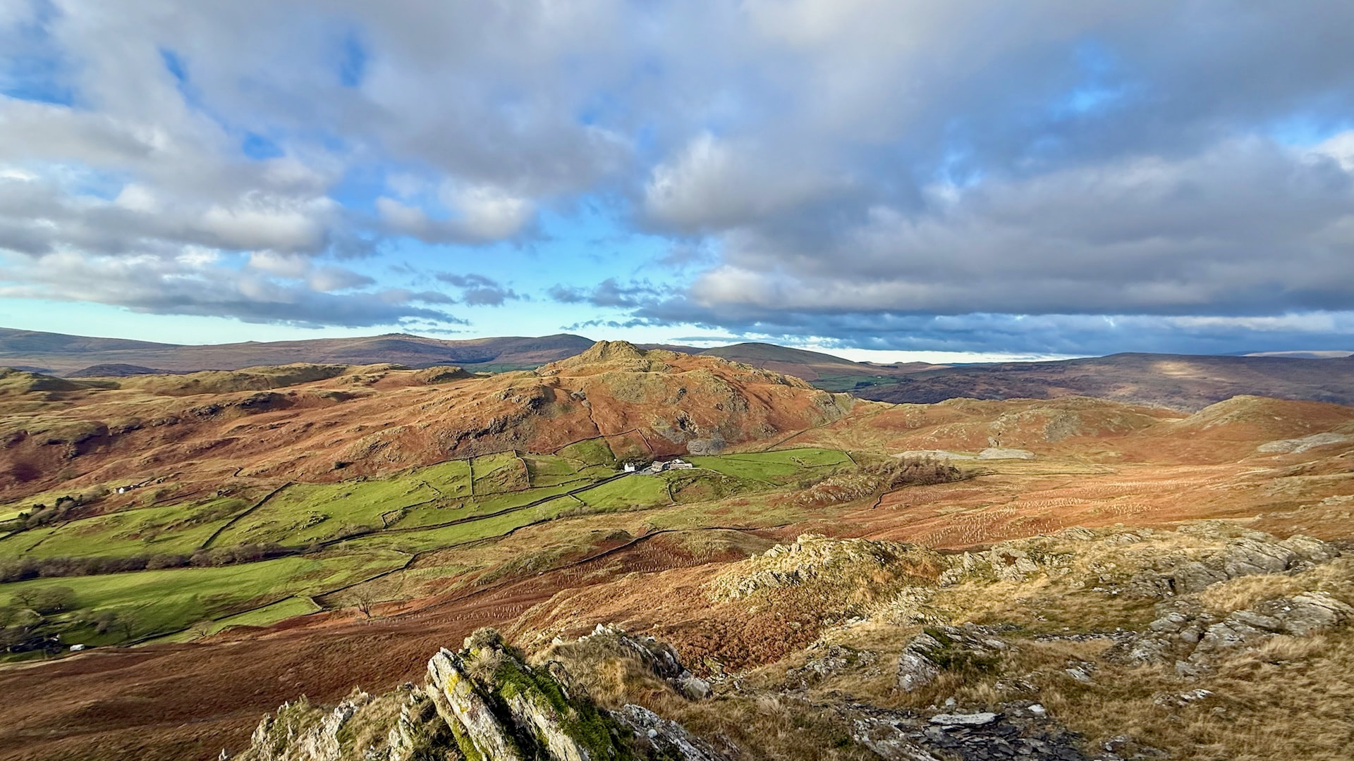

Great view of Stickle Pike on the other side of the valley

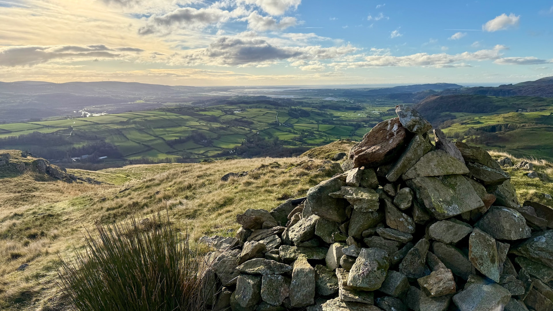
View towards Barrow
| TIME | CALLSIGN | BAND | MODE | RST | RSR | OPERATOR | SIG | REF |
|---|---|---|---|---|---|---|---|---|
| 10:18 | G7CDA | 2m | FM | 59 | 59 | Douggie | ||
| 10:20 | M7IFT | 2m | FM | 59 | 59 | Ian | ||
| 10:24 | G8WT | 2m | FM | 59 | 59 | Tony |
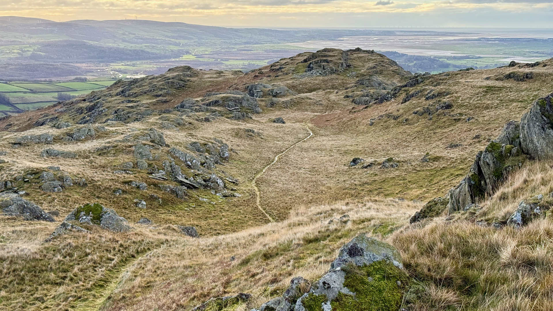
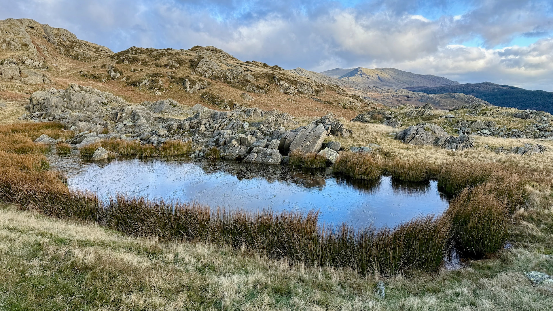
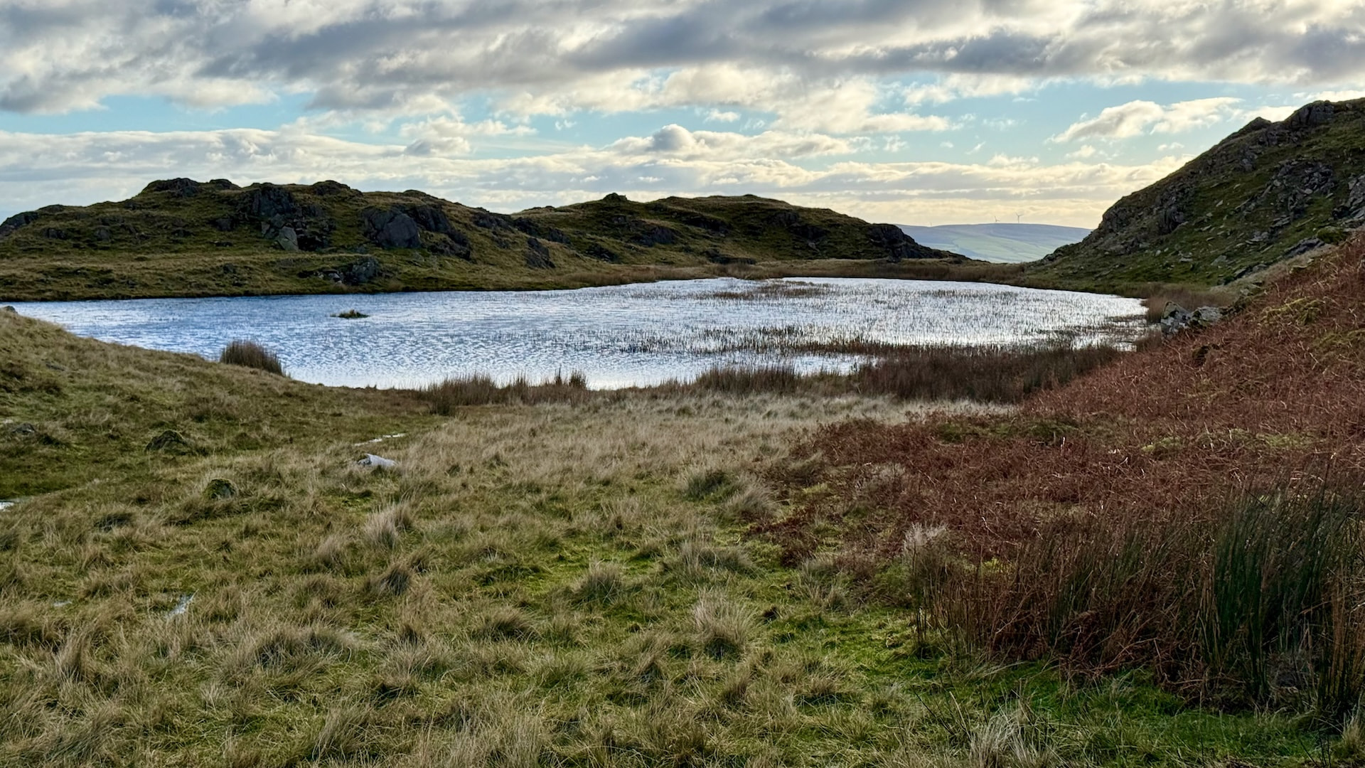
Between Raven Crag and The Knott there was a great looking tarn with some interesting rock formations.
I’d been using my beta spotting application and it was working well. Using it in anger whilst out activating definitely make me realise there are still some features to add to make it as easy as possible.
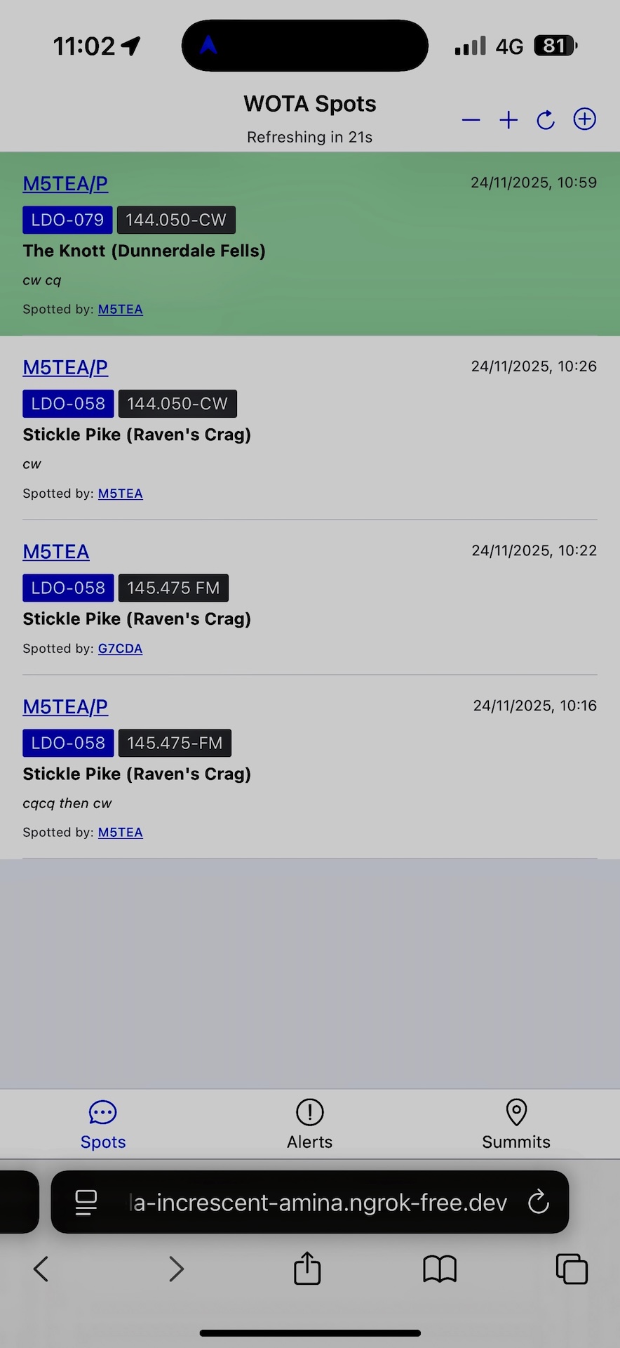
Beta Reactive WOTA Spotting page
The Knott (Dunnerdale Fells)
| WOTA ID: LDO-079 | Height: 284 m (932 ft) |
|---|---|
| SOTA ID: n/a | Grid ref: SD224919 |
| HuMP ID: n/a | QTH Locator: IO84JH |
| Book: The Outlying Fells | Lat: 54.316628 Long: -3.193051 |
We’d been discussing in local ham whatsapp group, and also prompted by recent discussions on the SOTA reflector, about using more modes on 2m (CW/SSB). I’m also trying to revive my CW skills to the point where I am more confident to activate again. This kind of scenario is perfect for gaining good practice without an overwhelming pileup.
The Knott
| TIME | CALLSIGN | BAND | MODE | RST | RSR | OPERATOR | SIG | REF |
|---|---|---|---|---|---|---|---|---|
| 11:00 | G8CPZ | 2m | CW | 599 | 599 | Andy | ||
| 11:04 | M5TUE | 2m | CW | 599 | 599 | Nigel | ||
| 11:08 | G8WT | 2m | FM | 59 | 55 | Tony | ||
| 11:09 | G6AEK/M | 2m | FM | 55 | 55 | David | ||
| 11:10 | G8CPZ | 2m | FM | 59 | 59 | Andy | ||
| 11:21 | G7CDA | 2m | FM | 58 | 59 | Douggie | ||
| 11:22 | M5TUE | 2m | FM | 59 | 59 | Nigel |
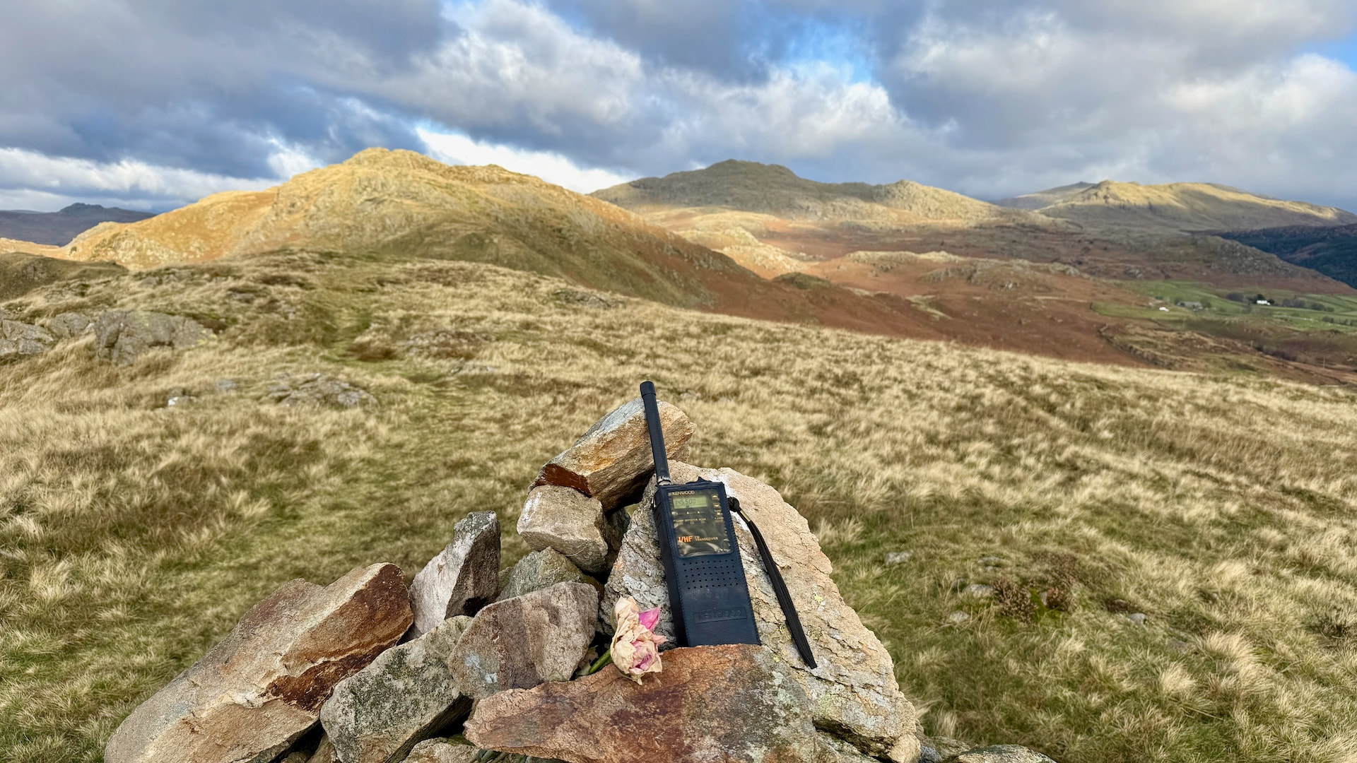
My revived 80’s Kenwood handheld
In discussion with Dave @G6AEK I said I would return to the car via Raven Crag, as he’d missed me on that one. Fortunately I noticed that the Kenwood was still on low power, having been messing with Nigel M5TUE earlier on The Knott. Once I’d kicked the power up he heard me.
| TIME | CALLSIGN | BAND | MODE | RST | RSR | OPERATOR | SIG | REF |
|---|---|---|---|---|---|---|---|---|
| 12:01 | G6AEK | 2m | FM | 51 | 59 | David |

Stickle Pike (Dunnerdale Fells)
| WOTA ID: LDO-055 | Height: 375 m (1230 ft) |
|---|---|
| SOTA ID: n/a | Grid ref: SD212928 |
| HuMP ID: G/HLD-047 | QTH Locator: IO84JH |
| Book: The Outlying Fells | Lat: 54.324532 Long: -3.211733 |
The ascent to Stickle Pike from the parking space is much shorter but noticeably higher than Raven Crag. It’s quite a handsome summit to look at.
| TIME | CALLSIGN | BAND | MODE | RST | RSR | OPERATOR | SIG | REF |
|---|---|---|---|---|---|---|---|---|
| 12:54 | M5TUE | 2m | FM | 59 | 59 | Nigel | ||
| 12:54 | M8MOW/M | 2m | FM | 59 | 59 | Chris | ||
| 12:55 | G0HIK | 2m | FM | 59 | 59 | Nick | ||
| 12:58 | G7CDA | 2m | FM | 59 | 59 | Douggie | ||
| 12:59 | G8CPZ | 2m | FM | 59 | 59 | Andy | ||
| 13:00 | M0KPW | 2m | FM | 59 | 59 | Chris | ||
| 13:01 | GW0PLP | 2m | FM | 57 | 53 | Don | ||
| 13:04 | M6KWB | 2m | FM | 55 | 57 | Kelly | ||
| 13:08 | G0HIK | 2m | CW | 599 | 599 | Nick | ||
| 13:09 | G8CPZ | 2m | CW | 599 | 589 | Andy |
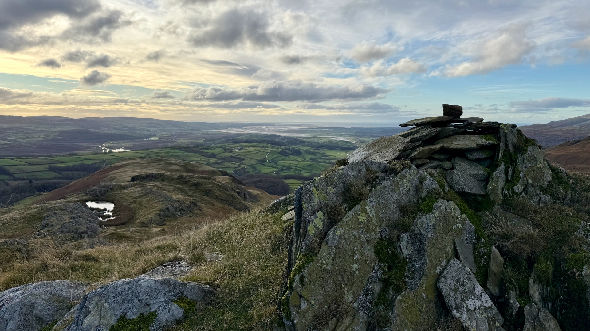
The Impressive Stickle Tarn
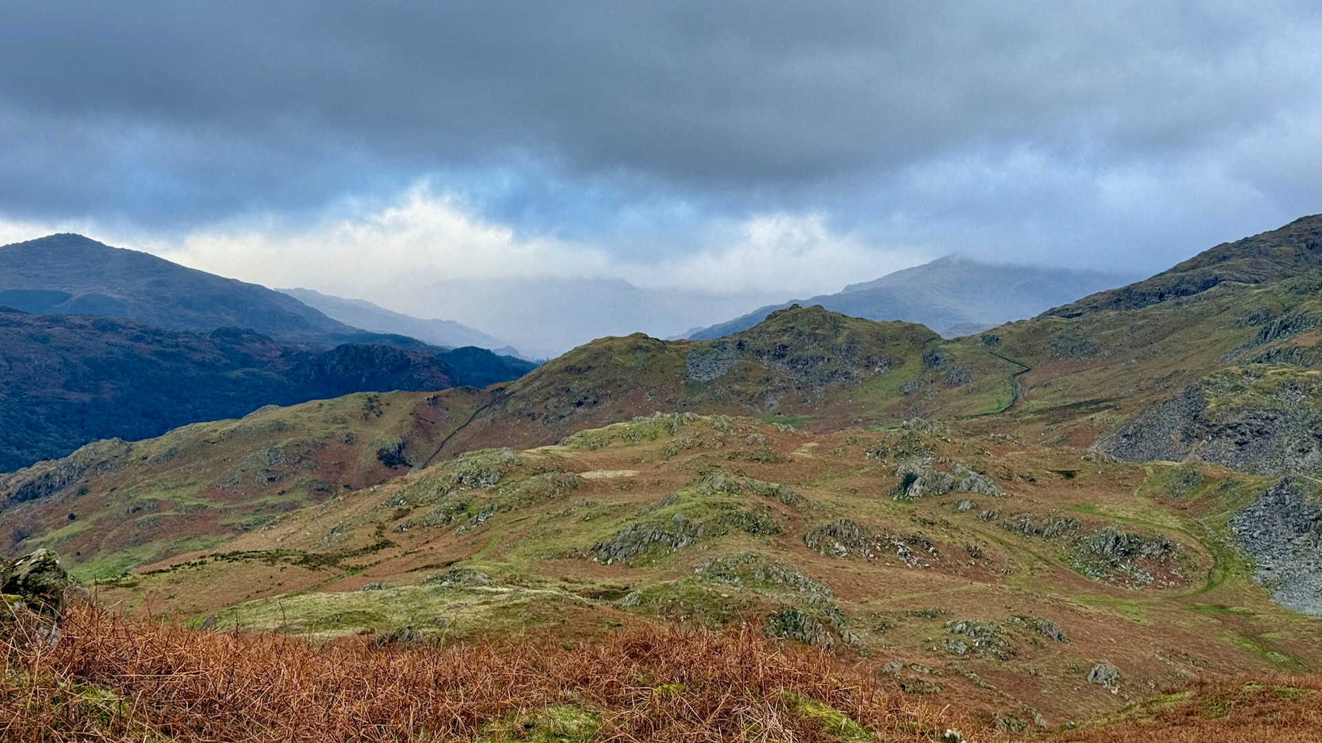
Weather coming in
I was going to activate on HF for HEMA as well using the EFHW but I noticed a bit of rain and when I looked back towards Harter Fell it looked like the rain was moving in.
This also made up my mind about activating the remaining fells on that side of the horseshoe. My head was saying it would take about 3 hours to do the others and that would take me into darkness. I made the right decision.
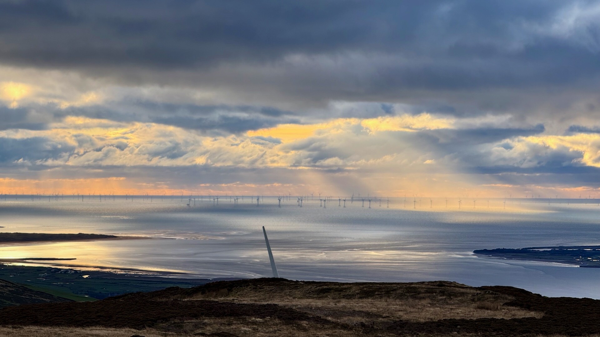
On the drive home back past Kirkby Moor I decided to stop and make the effort to activate it for SOTA. It was on my list of unactivated fells, and I’d never been up there. Well worth the effort, being that close to the Wind Turbines was quite exhilarating and the sun provided some really pretty scenery both back towards the main Lakeland Fells and out to sea.


Thanks to all the chaser activity, it is very much appreciated!