I asked Reg 2E0LDF if he would like to do this round of fells on Sat 11th September 2021 as it was the first day of the SOTA LD weekend and there would be a lot of activators out. He very kindly agreed and we met up in Mungrisedale at about 0830hrs local time.
After getting kitted up we set off at 0845hrs. The weather was fine when we started and we had views but as we got towards the ridge taking us into Bowscale Fell LDW-087 the cloud was down, the wind had got up and it was mizzling. We arrived at the summit at 1010hrs, a distance of 2.6 miles from the start.
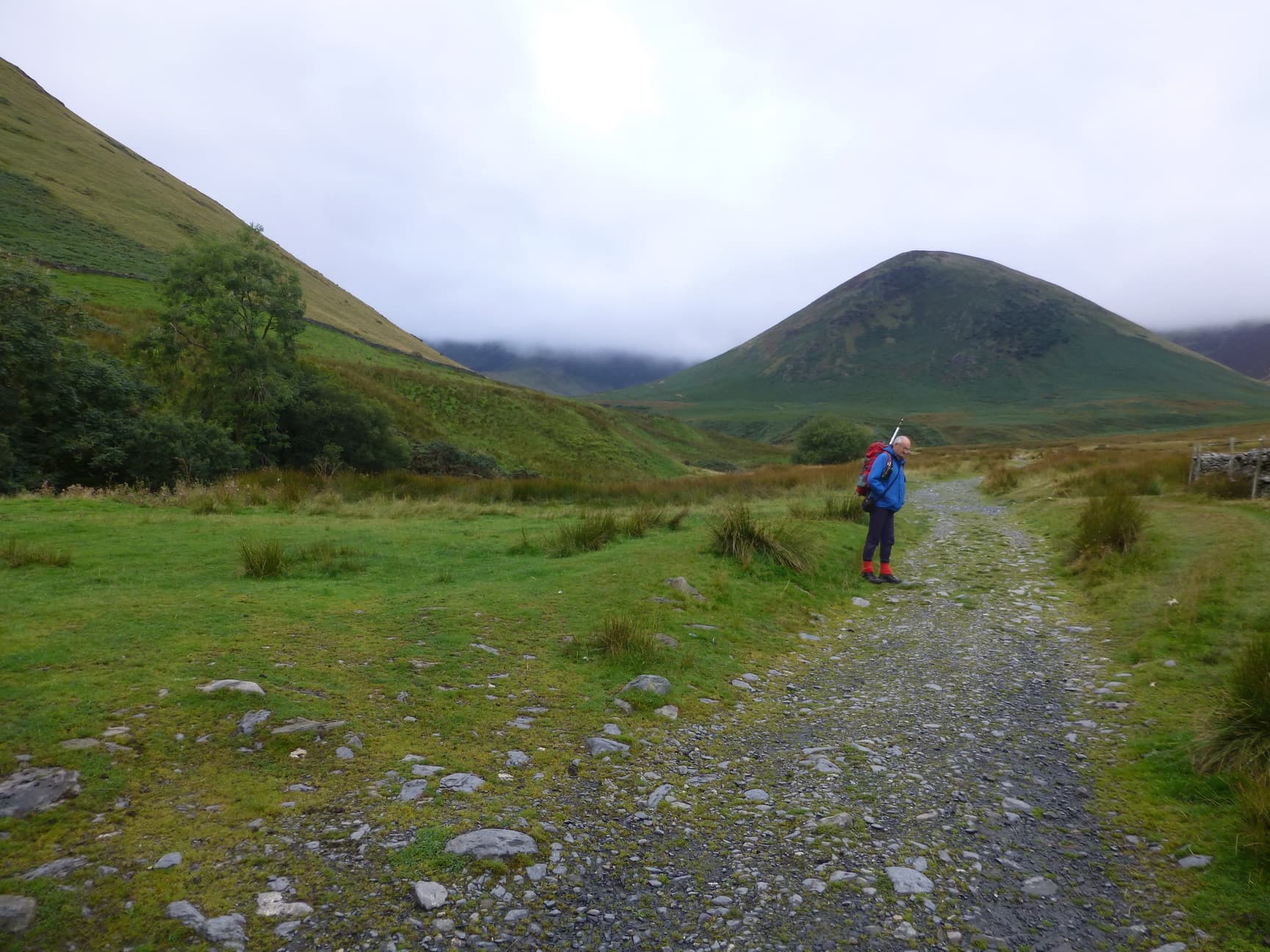
Start of the walk. Bowscale in cloud.
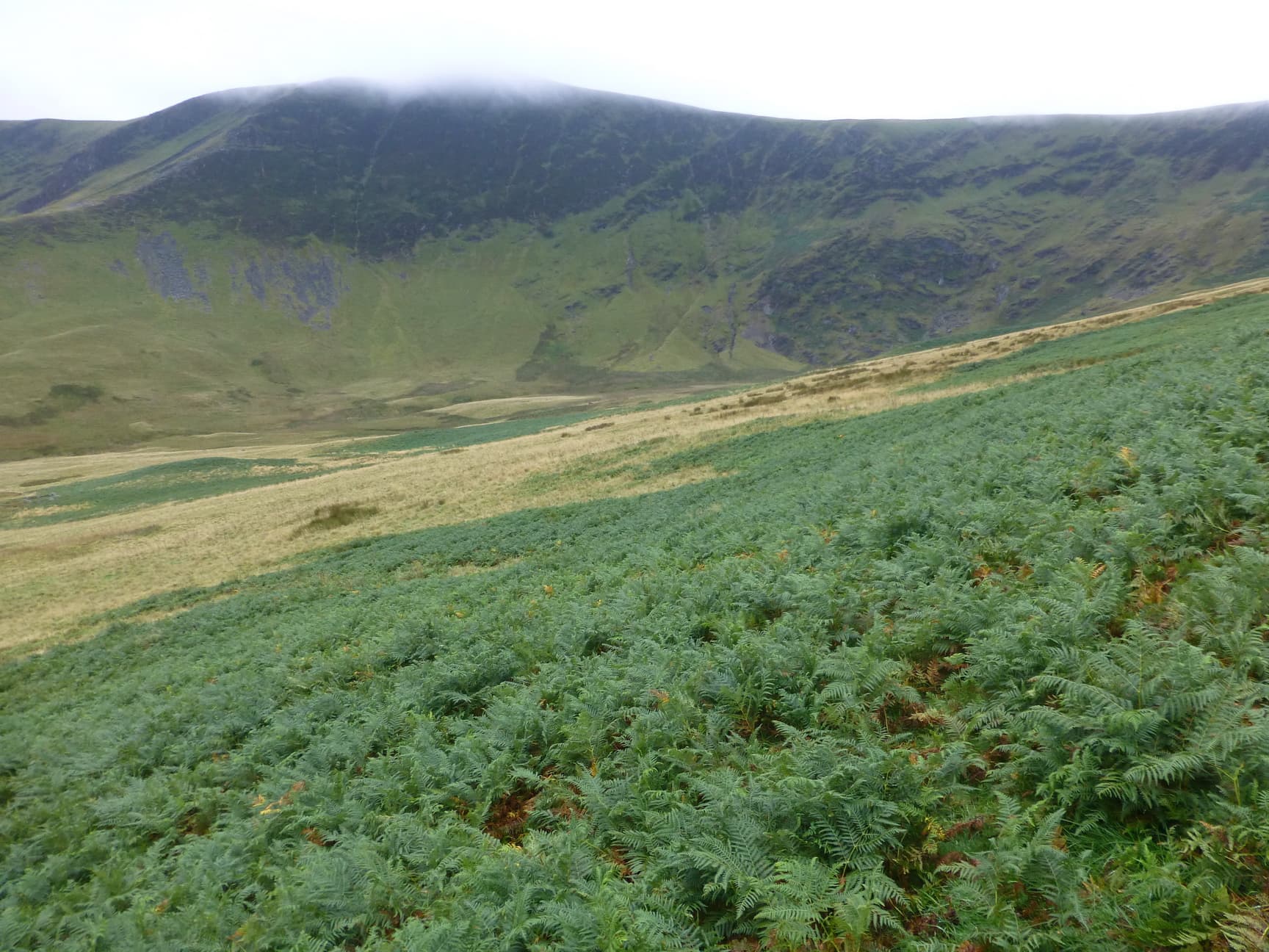
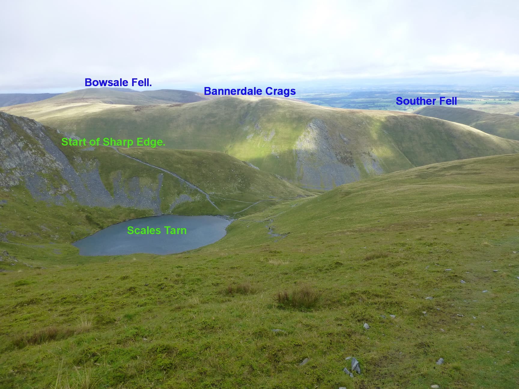
Looking towards Bannerdale Crags.

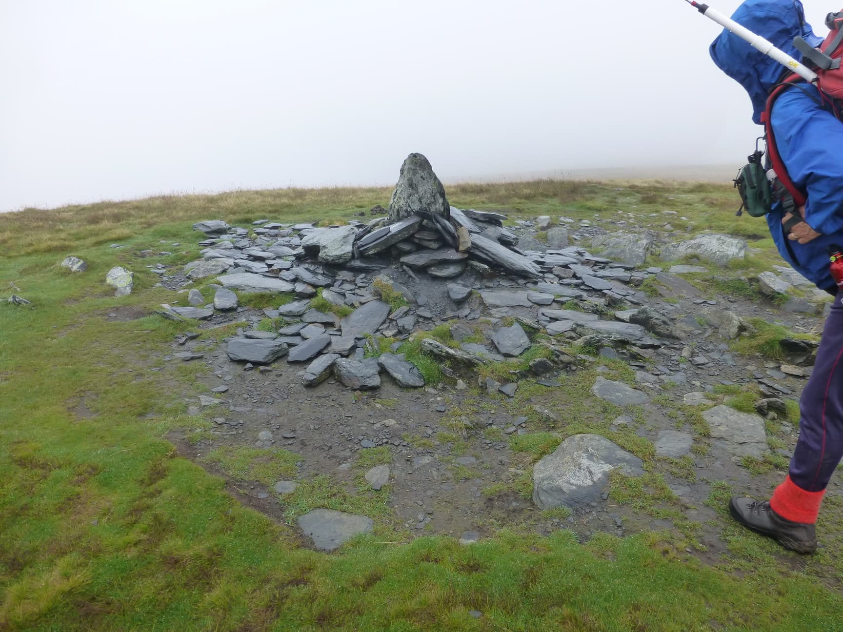
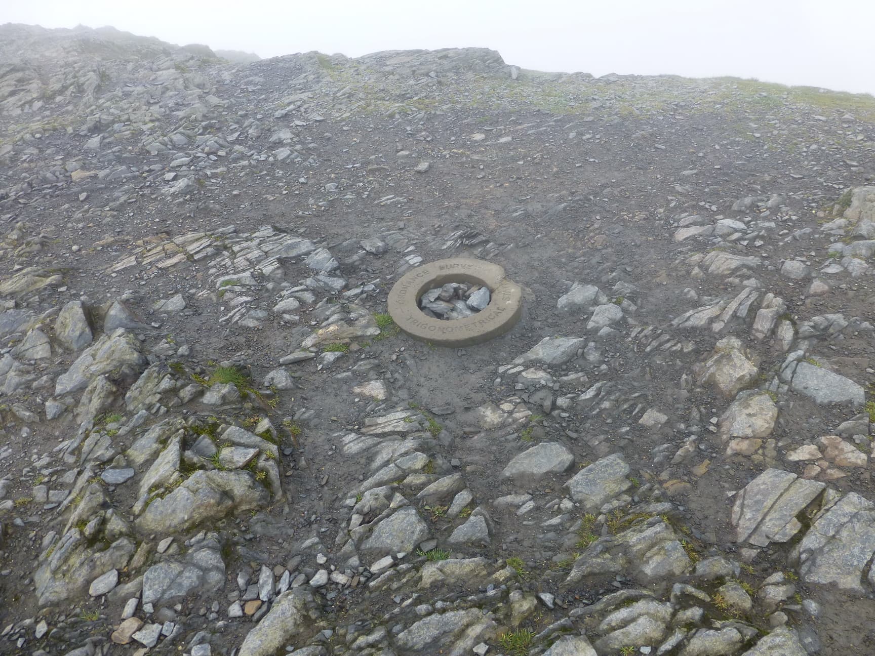
Summit of Bowscale Fell LDW-087.
Because the weather was awful we just sat down in the summit shelter. 8 contacts were made including Phil G4OBK/P who was using a 5 ele beam from the Cleveland Way. He was a great signal.
We also worked Derek 2E0MIX/P on Dent. Others were M0DXT, M0AYB, G0TDM, 2E0XUP/M in Silloth, GM1VLA and GM3VMB.
We left at 1026hrs and in very poor weather we headed to Bannerdale Crags LDW-096. We arrived at the summit where there is no shelter at 1055hrs. According to my GPS the distance was about 1.1 miles. From here 6 contacts were made and these were as follows:-
2E0XUP/M in Silloth
G0TDM
G4OBK/P
G4YTD
GM1VLA
M0NOM/P on Pike o Blisco LD-024.
Again the weather was very poor. Visibility poor and it was light rain.
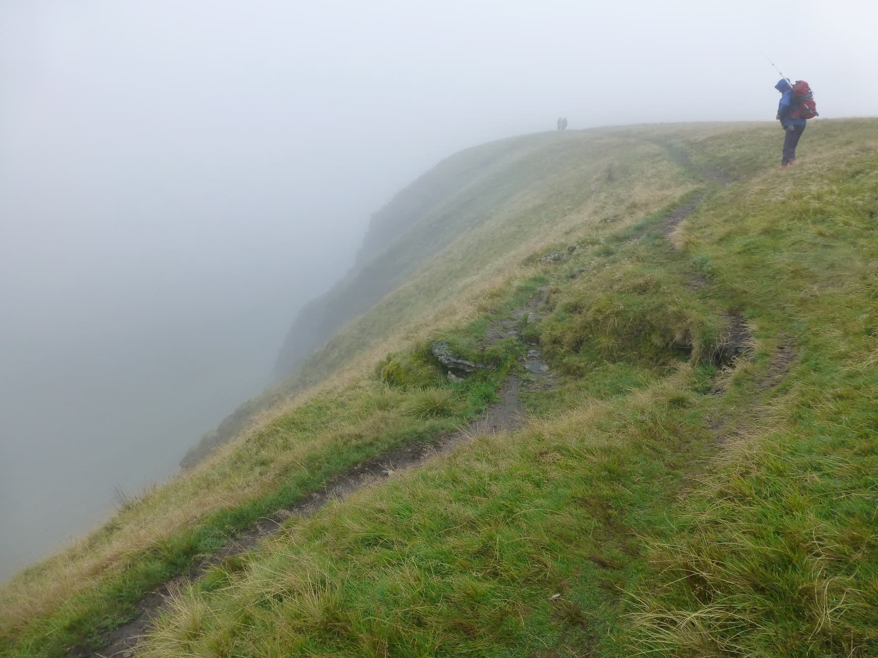
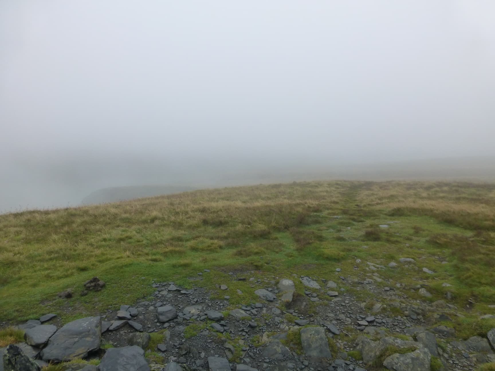
Walking towards Bannerdale Crags.
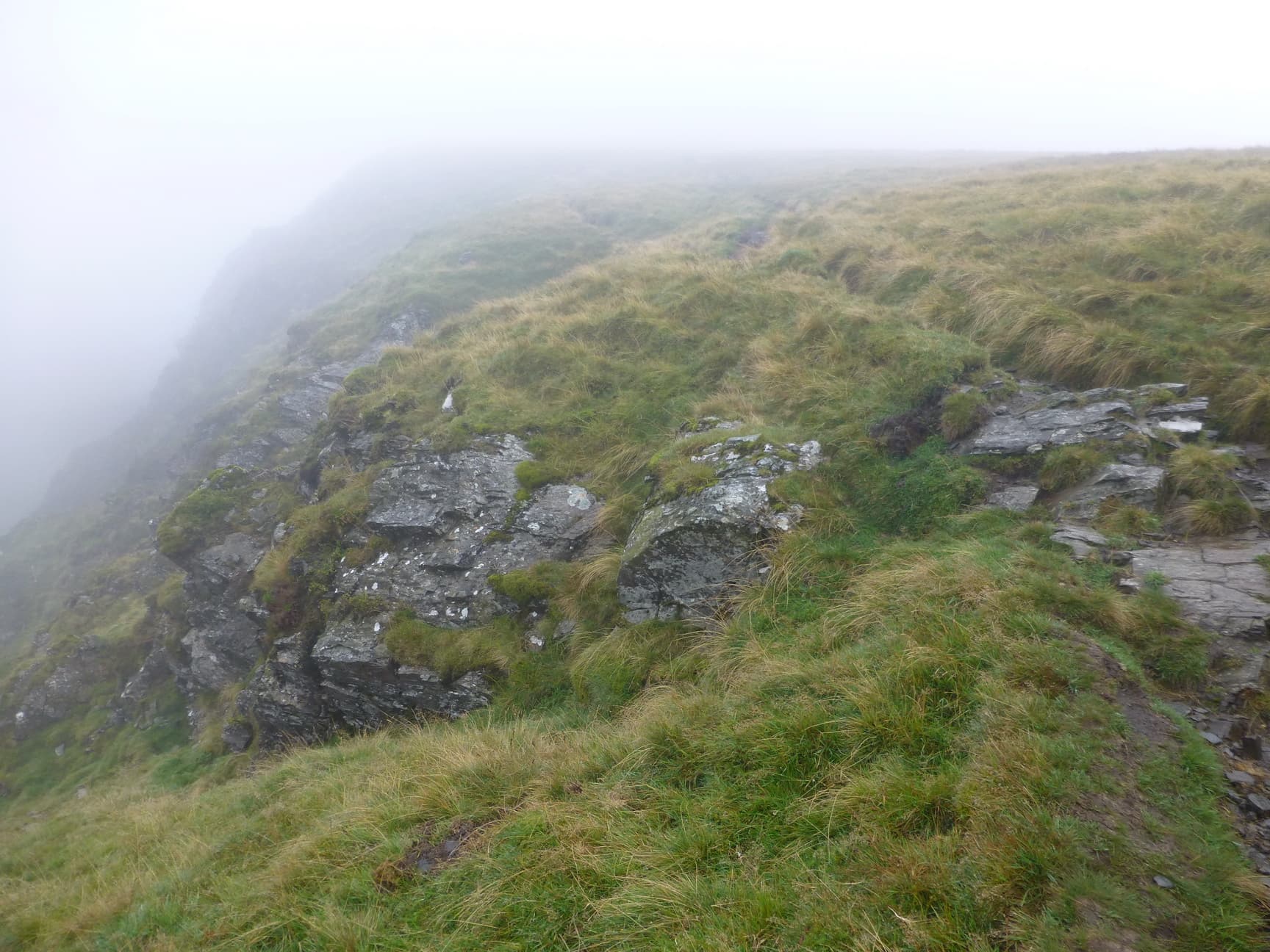
Summit of Bannerdale Crags.
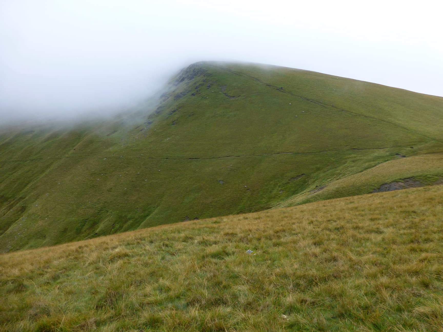
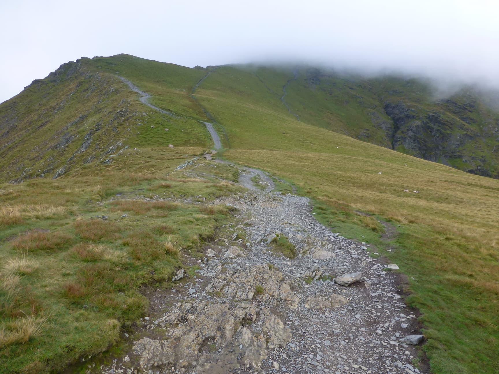
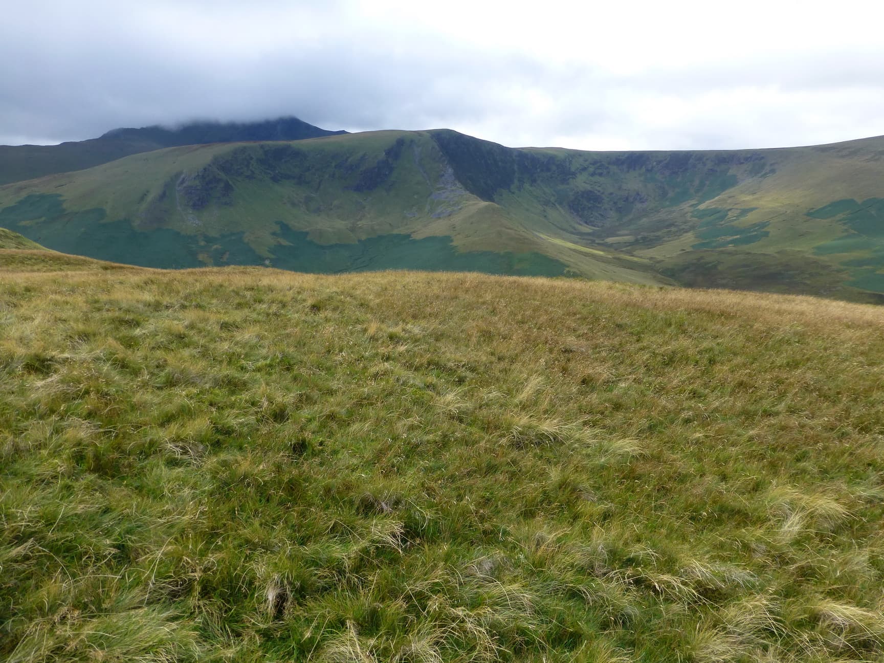
We left the summit at 1117hrs and as we started descending we started to get some views. We drop down quite a lot and then it is a climb the last bit which was quite steep. At that stage we had no views and it was like that as we approached the summit of Blencathra LD-008/LDW-014. The distance from Bannerdale Crags to Blencathra according to my GPS was 1.6 miles. We arrived on the summit at 1219hrs.


Very STEEP ascent!

Whie cross on Blencathra.
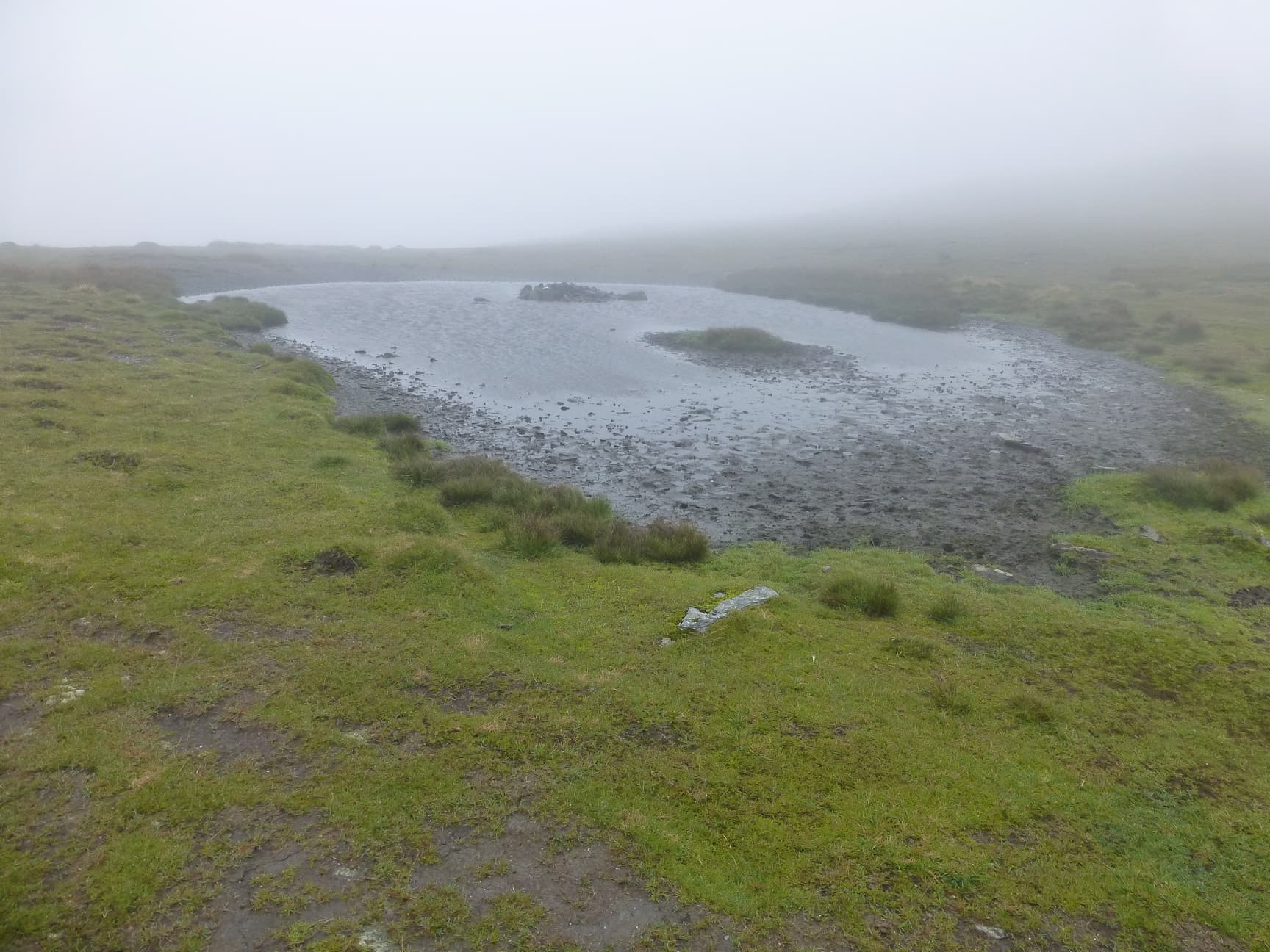
Summit tarn.
Summit.
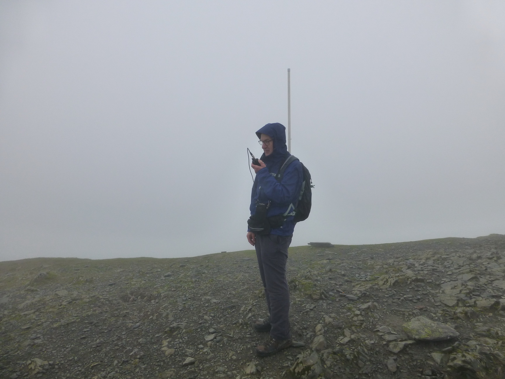
G4WHA/P operating on Blencathra.
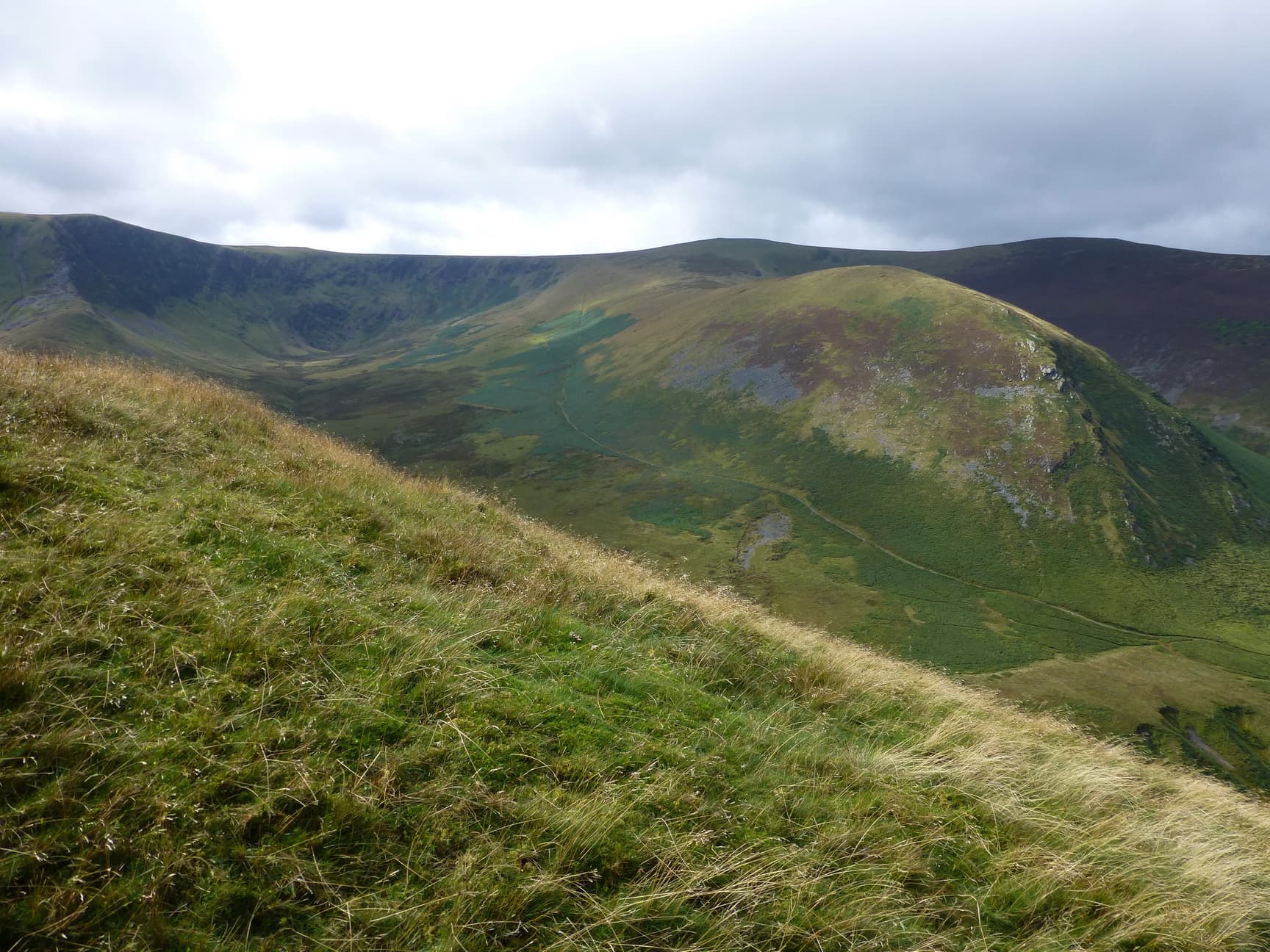
Conditions again were poor with very poor visibility, windy and rainy at times. We ended up with a big pileup at one stage and 26 contacts were made by us. By the time we had worked the last station both Reg and myself were very cold. We were both extremely well kitted out but when you are stood for about an hour as we were you soon cool down. However, we left at 1317hrs and made our down towards Scales Fell and thence up to Souther fell. It is quite a steep descent but as we descended quite a bit it cleared out and we had great views for the rest of the walk, although Blencathra was still in cloud.
Fells we climbed. I hope i have them right!
Looking back to Blencathra.
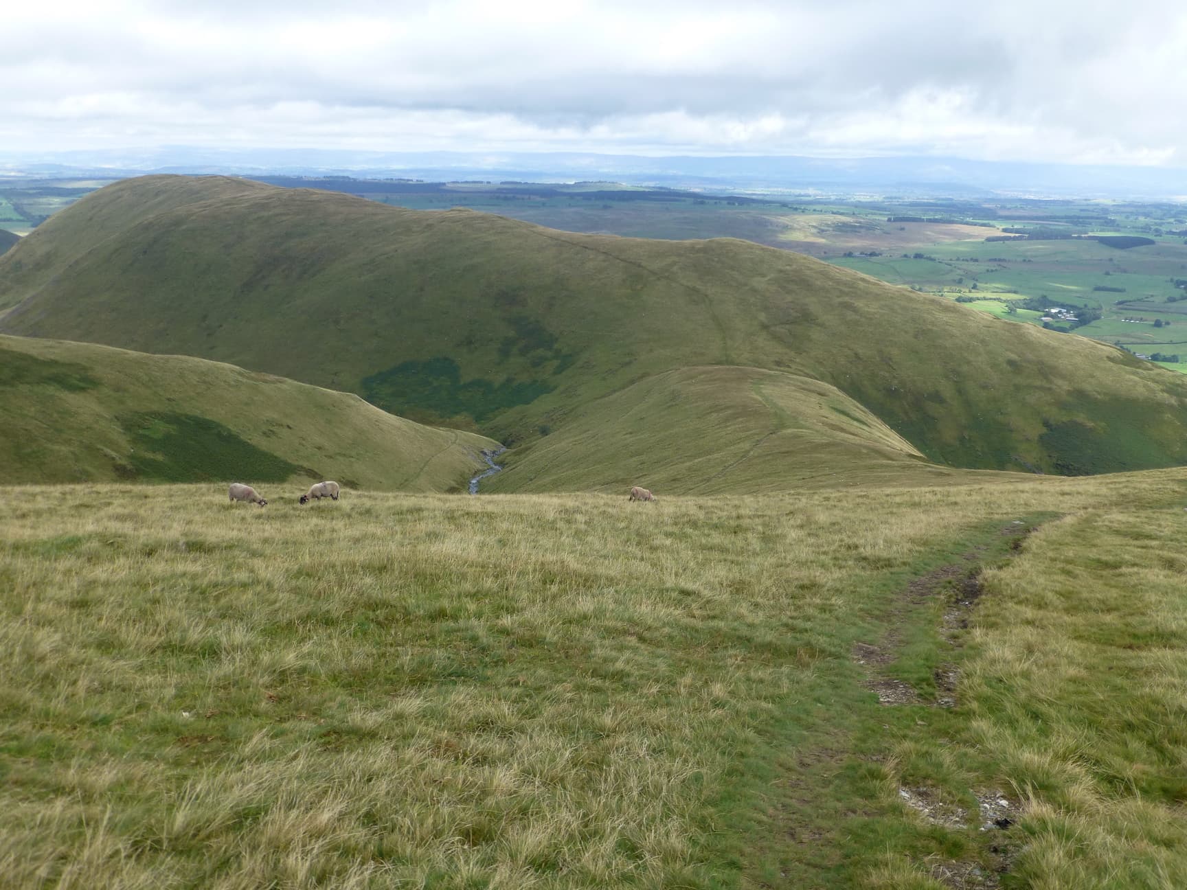
Looking toward Souther Fell.
Bencathra in cloud.
The climb up to the long plateau of Souther Fell LDW-163 is quite easy and we arrived at its summit at 1451hrs. The distance from Blencathra to Souther Fell was 2.85 miles. Only 2 contacts were made, the first with Andy M0FMF/P on Stoney Cove Pike LD-018 and Tim G4YTD. We left at 1504hrs and arrived back at the car at 1550hrs.

G4WHA/P operating fro Souther Fell.
Looking at the route first thing in the morning.
It was a fantastic walk even though the weather was lousy for a lot of the walk. However these things happen and you just get on with it. I have walked in worse conditions. Reg is an excellent walking partner and I personally just need 2 more summits to complete the Nothern Fells as an activator. The last 2 are Bakestall and Great Calva which I hope to do in October.
I would like to thank Reg for the great company and crack and also all the chasers who worked us both.
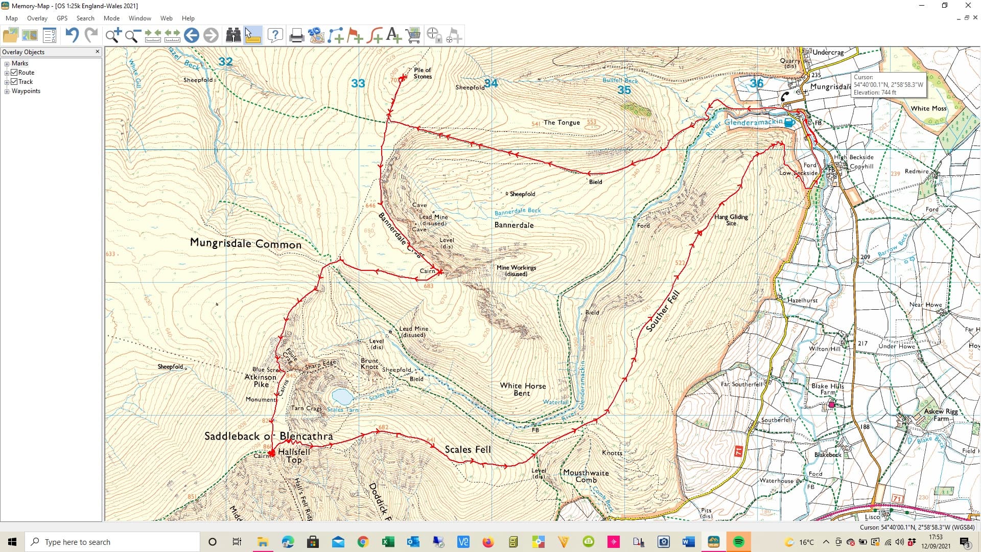
GPX route
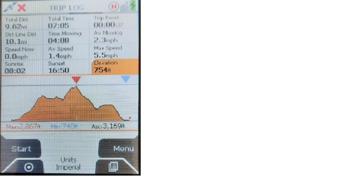
Satmap info.
73’s Geoff GM4WHA
l

