Introducing RaDAR
On Saturday 7th November I decided to take part in the RaDAR Challenge. If you are not familiar, the main website has an introduction, list of rules and suggested calling frequencies.
RaDAR stands for ‘Rapid Deployment Amateur Radio’. You can take on the challenge either mobile (pedestrian or any other form of transport) or static. For mobile stations the purpose is to test your capability for rapid deployment of an amateur radio station, making 5 QSOs (including digital and satellite) and then moving on to another site. For pedestrian stations there must be at least 1km between station locations, and you have four hours to complete the challenge.
RaDAR Challenge log sheet
For us Wainwright folk there is some good cross over with your average fell activation. Activating WOTAs differs somewhat from the SOTA scheme as that typically focusses on a smaller number of summits further apart. WOTA is more about rapid deployment, given that on a good day you could (if the legs can stand it) do a dozen Wainwrights in one outing.
My route to Claife Heights
My planning was a bit lacking, but I had decided to walk from my home QTH, take the ferry and continue on foot to the SOTA/WOTA summit of Claife Heights (High Blind How). I typically make this pilgrimage once a year on foot, as it is the only SOTA summit I can realistically reach on foot. I can see the trees surrounding the trig point from my house. The only complication is it is on the other side of Lake Windermere!
Route map
Knowing that we were moving to suspend WOTA activities will not log this as a WOTA activation. However, I felt given that I was able to do the entire activity local to me that it was in keeping with current COVID-19 restrictions.
Bowness Bay
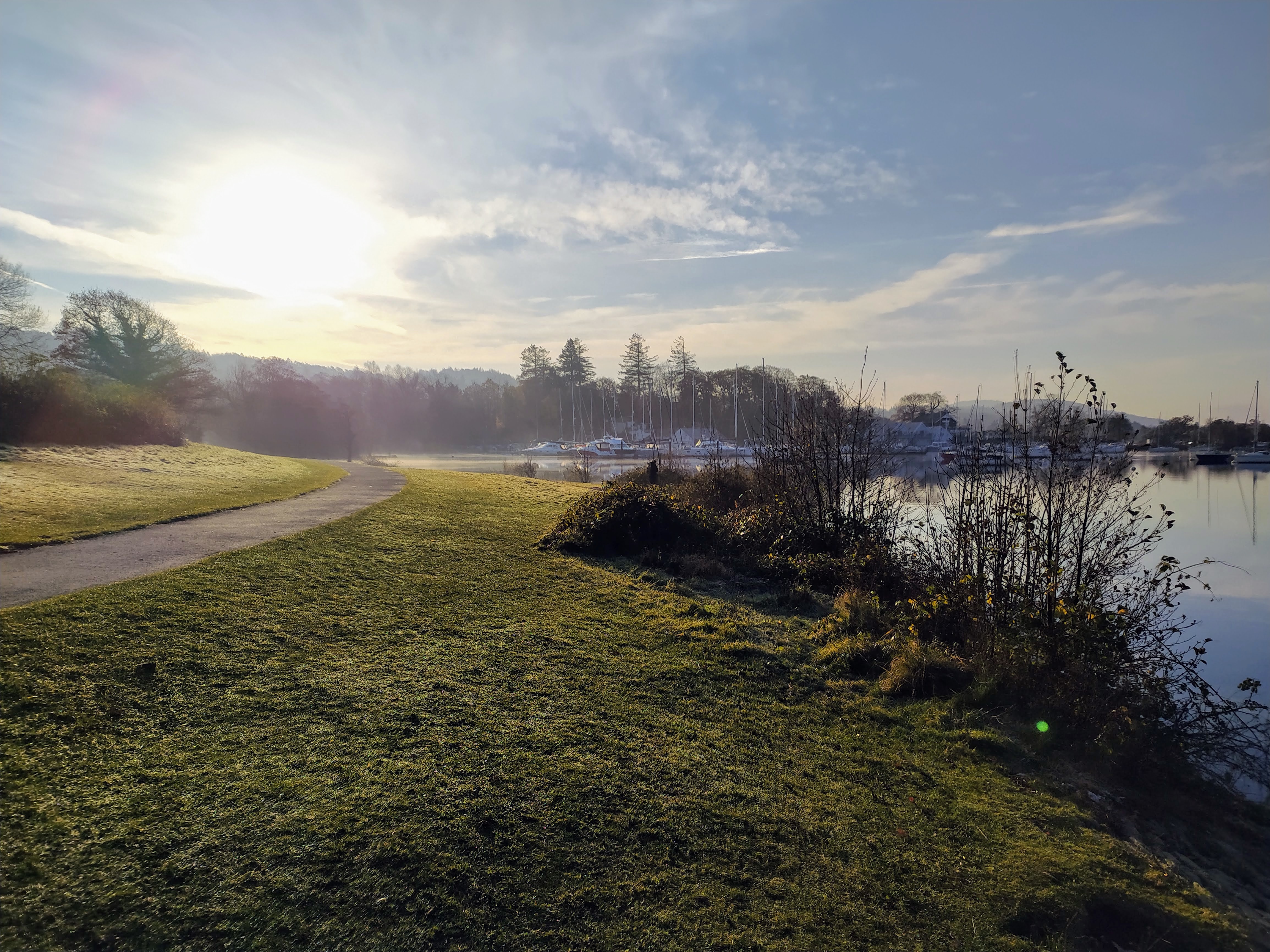
Cockshot Point
Approaching the Ferry
Ferry Nab
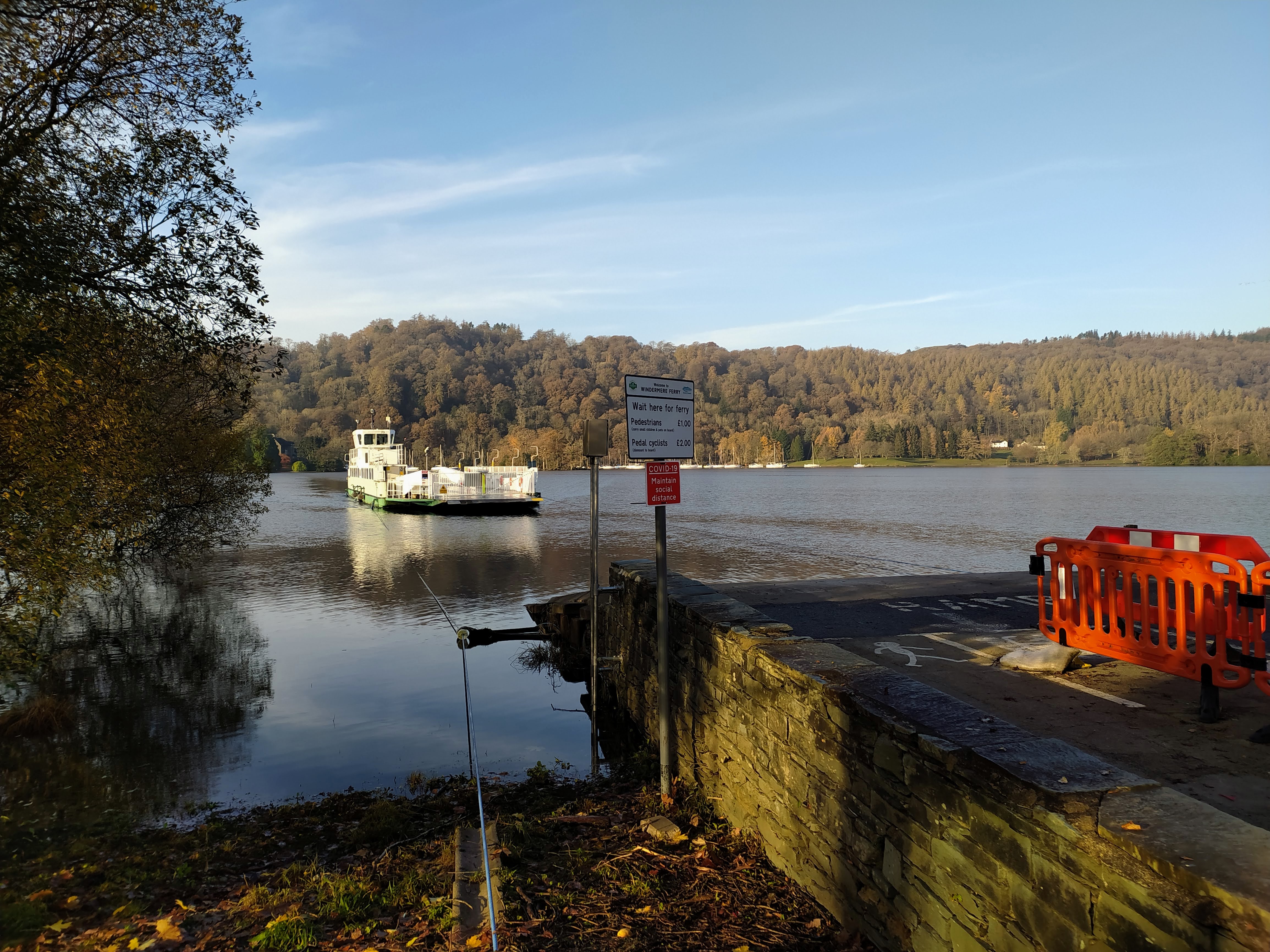
Ferry arriving
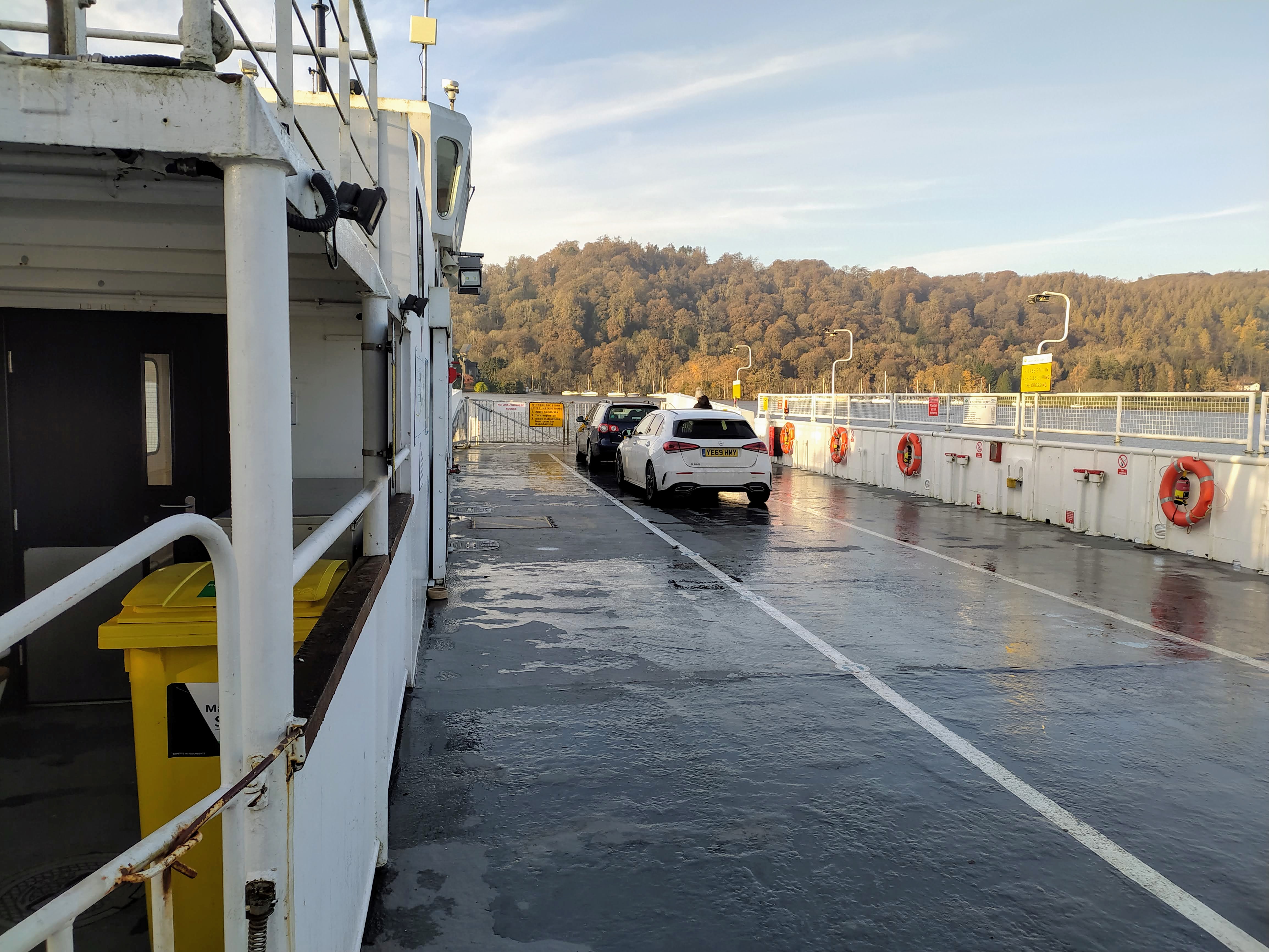
On the Ferry. Currently foot passengers remain on the car deck
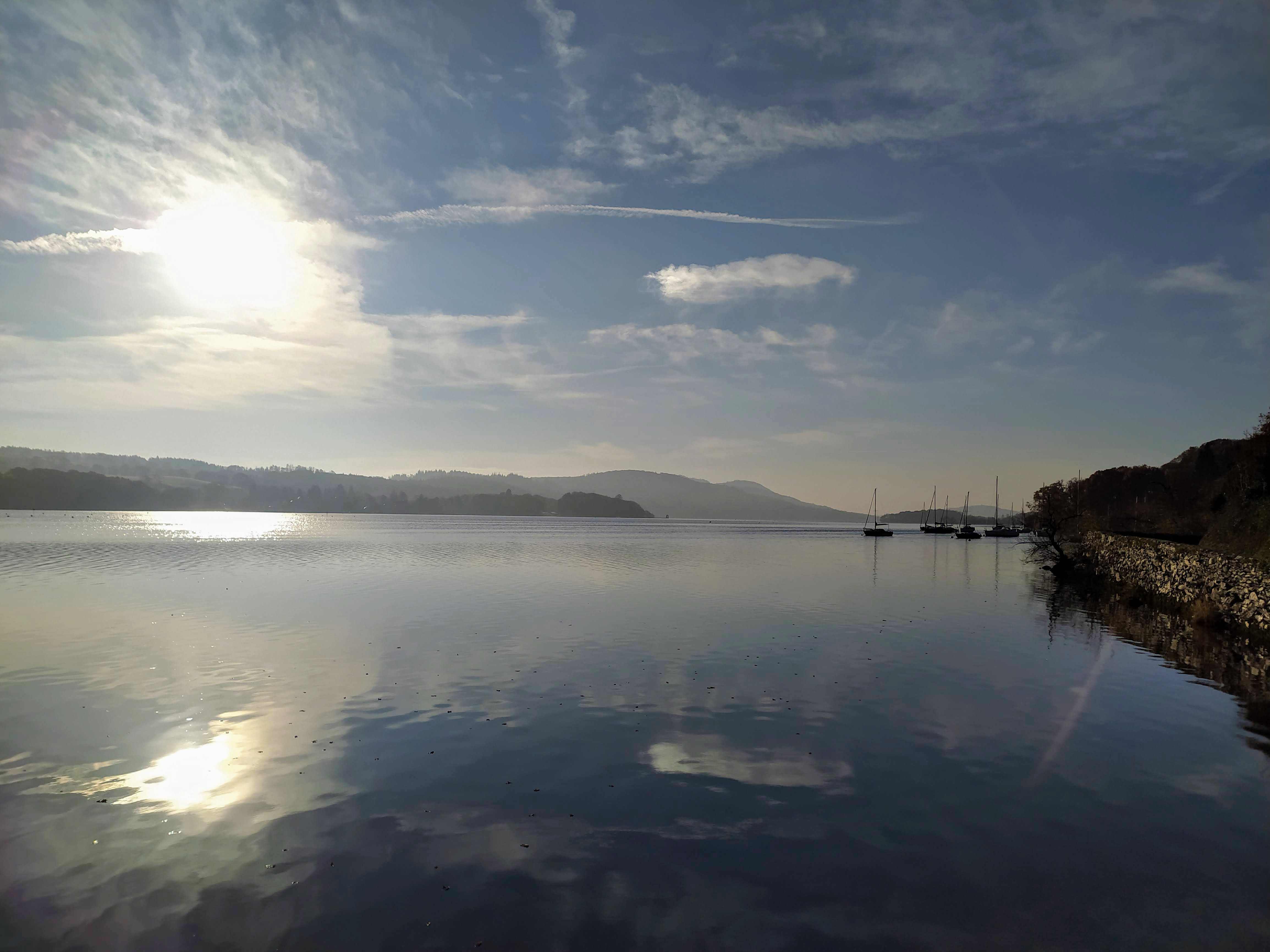
View from the approach to Ash Landing
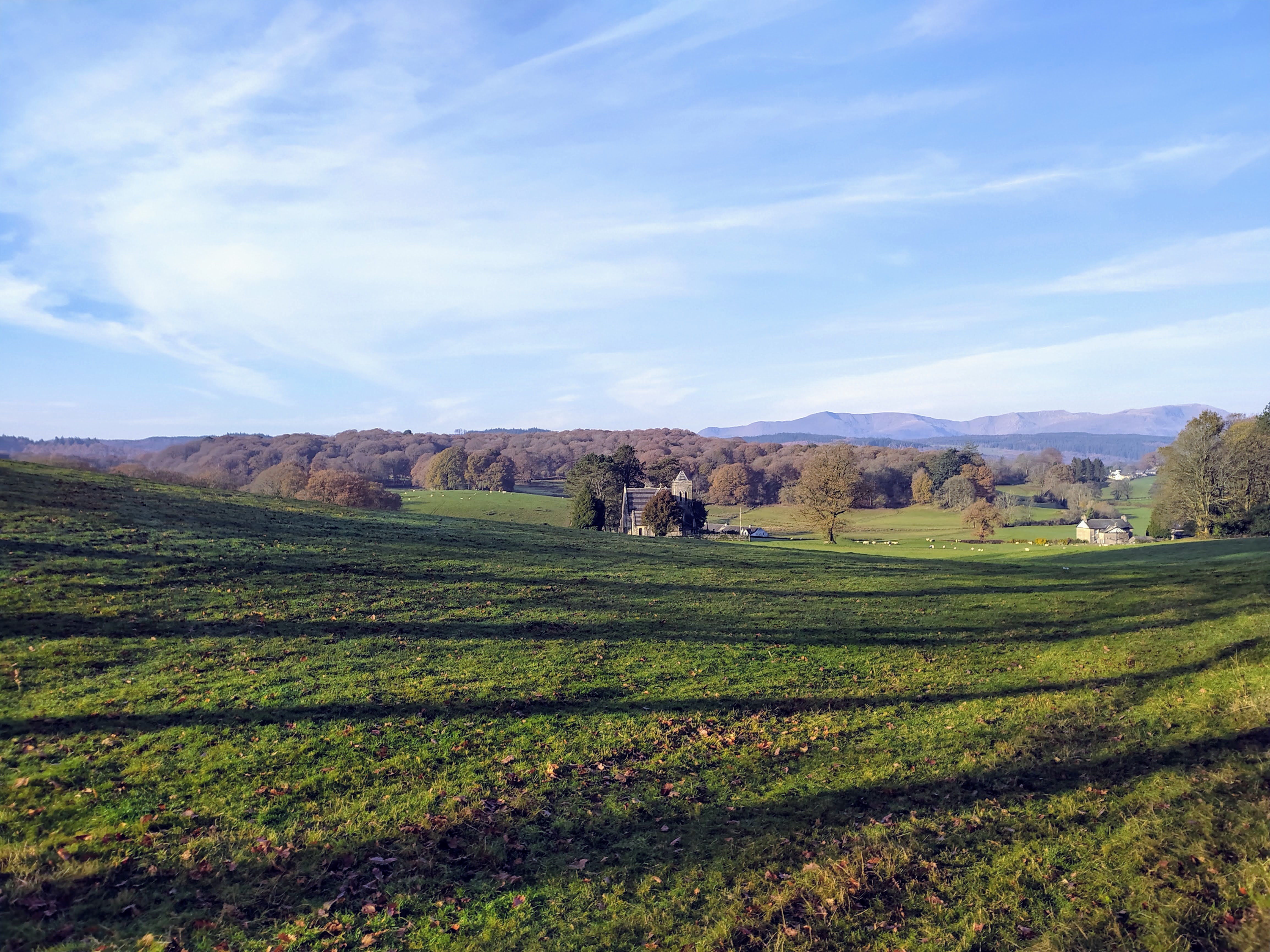
Far Sawrey Church with Old Man of Coniston in the distance
Givne the lack of traffic I walked the road to Far Sawrey then picked up the farmers track which leads to Claife Heights.
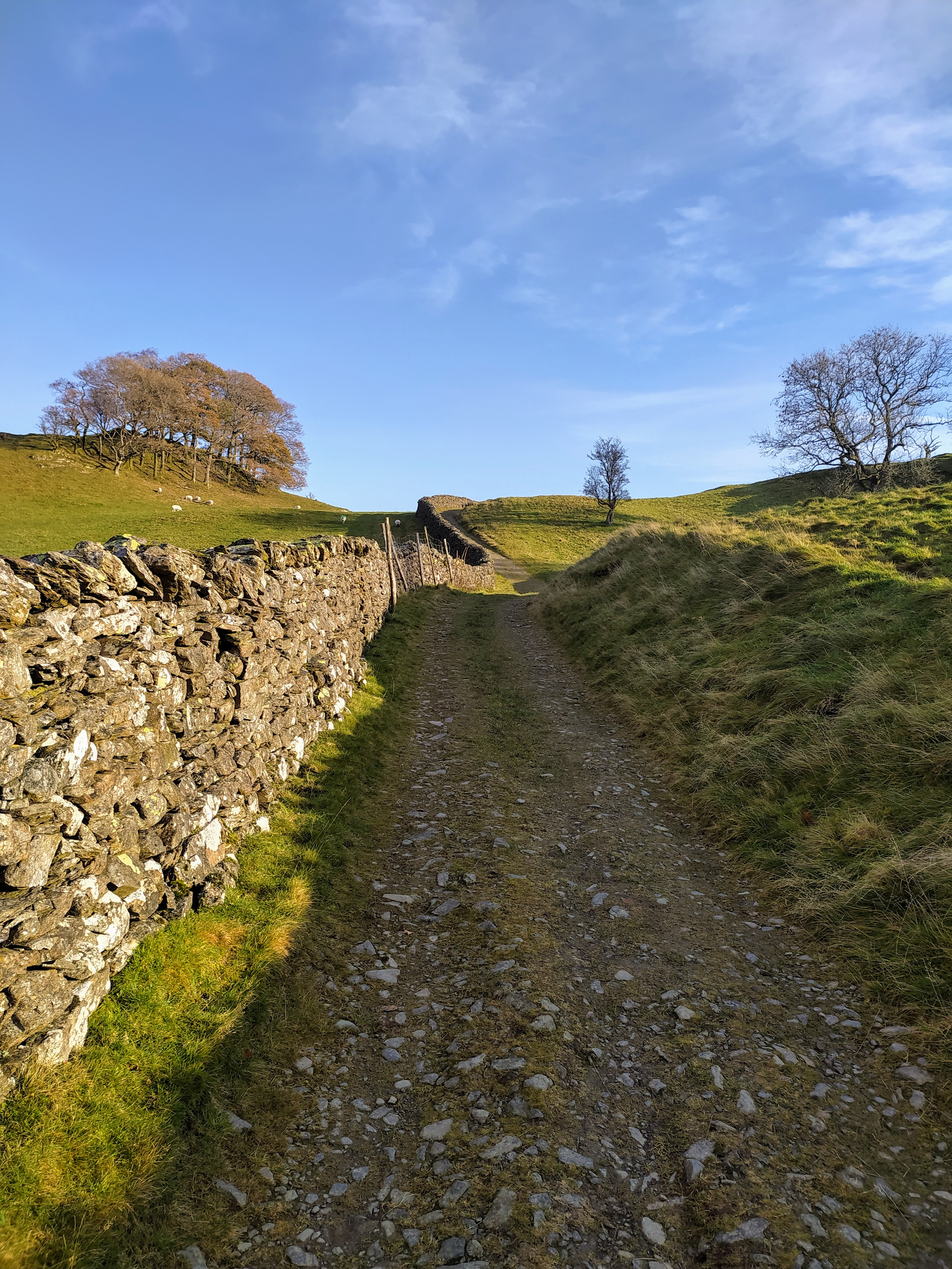
Good footing early on
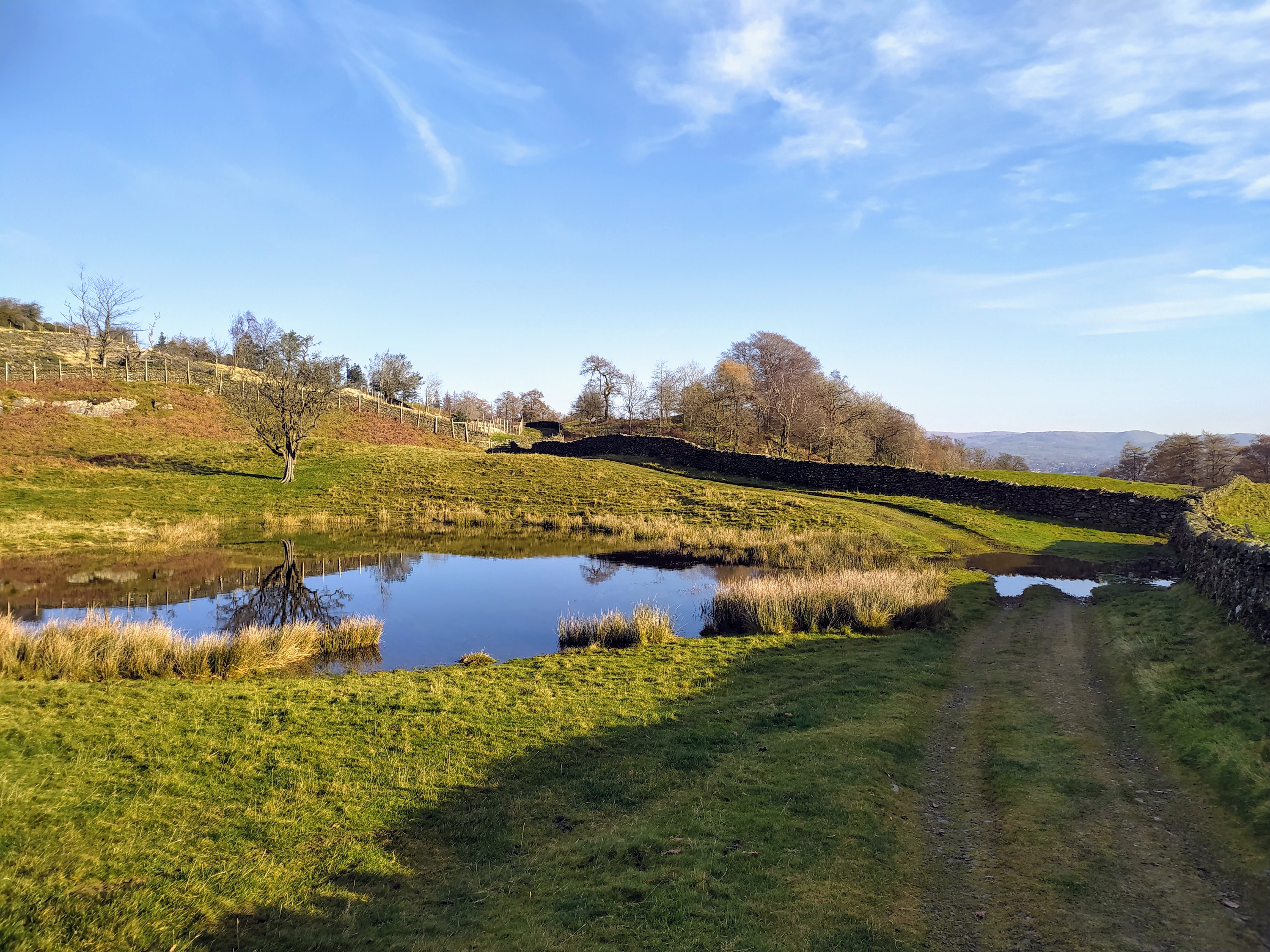
I’ve always had to divert off the path left round the tarn at this point
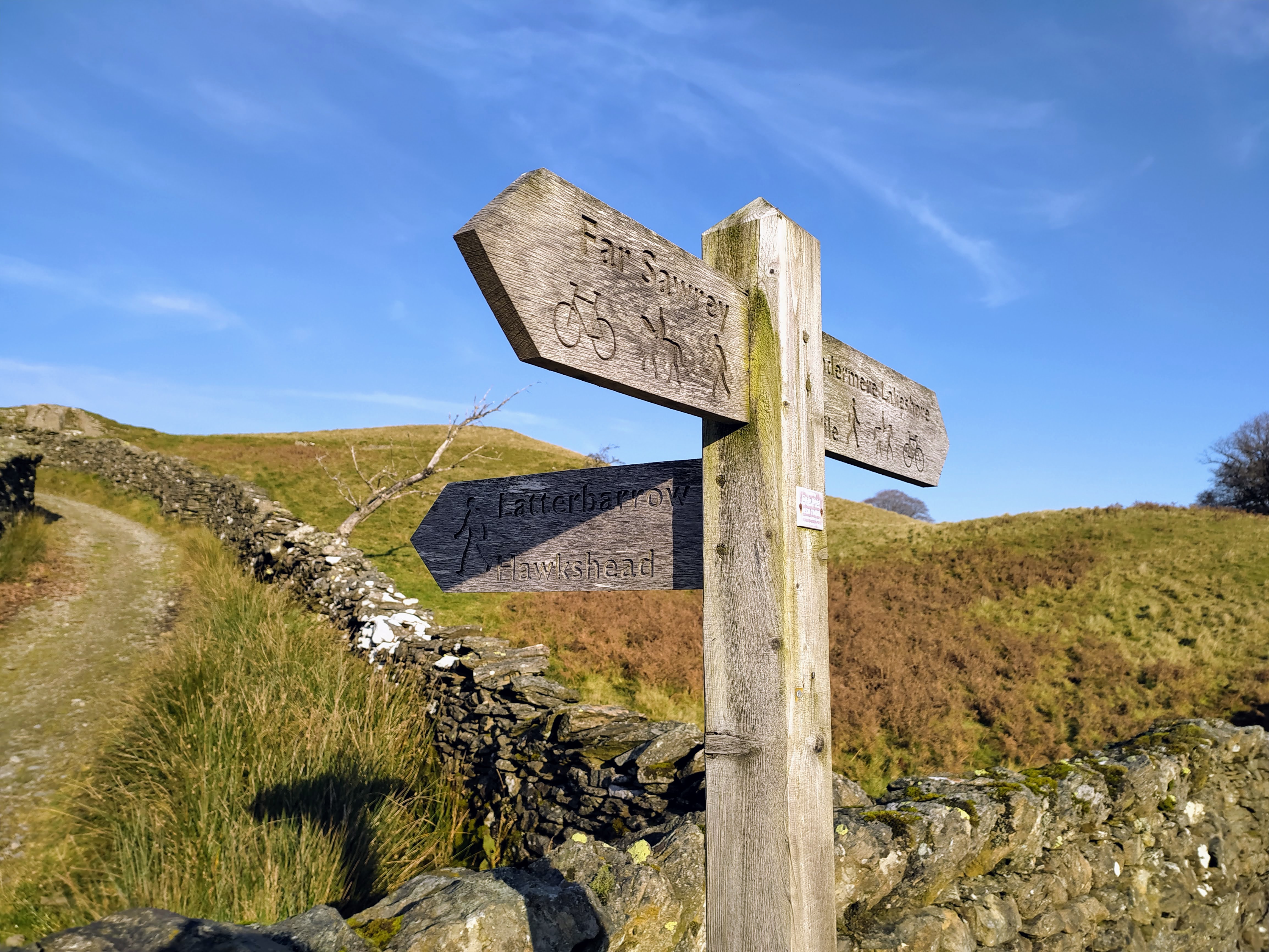
Make sure you turn left at the Signpost
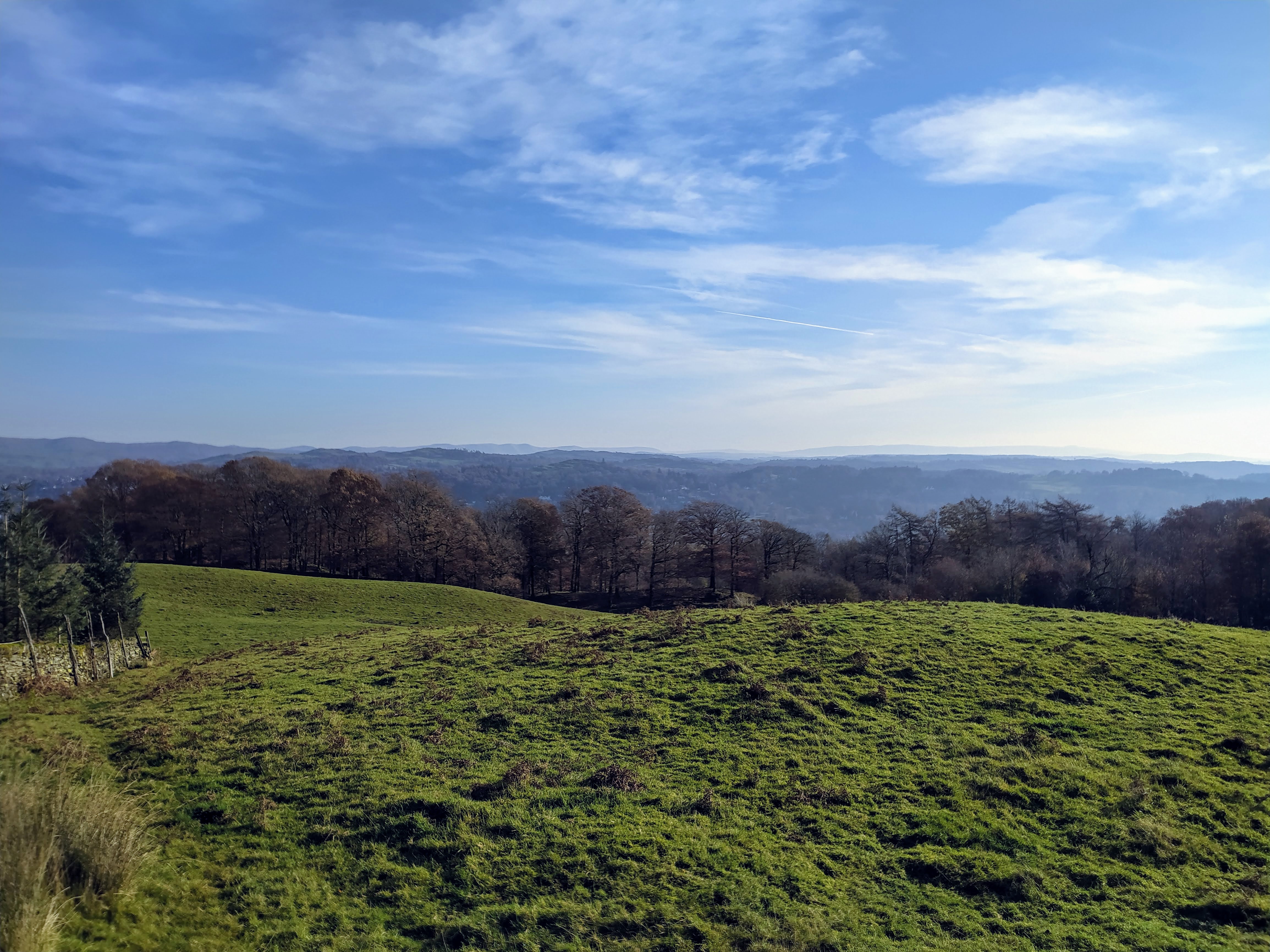
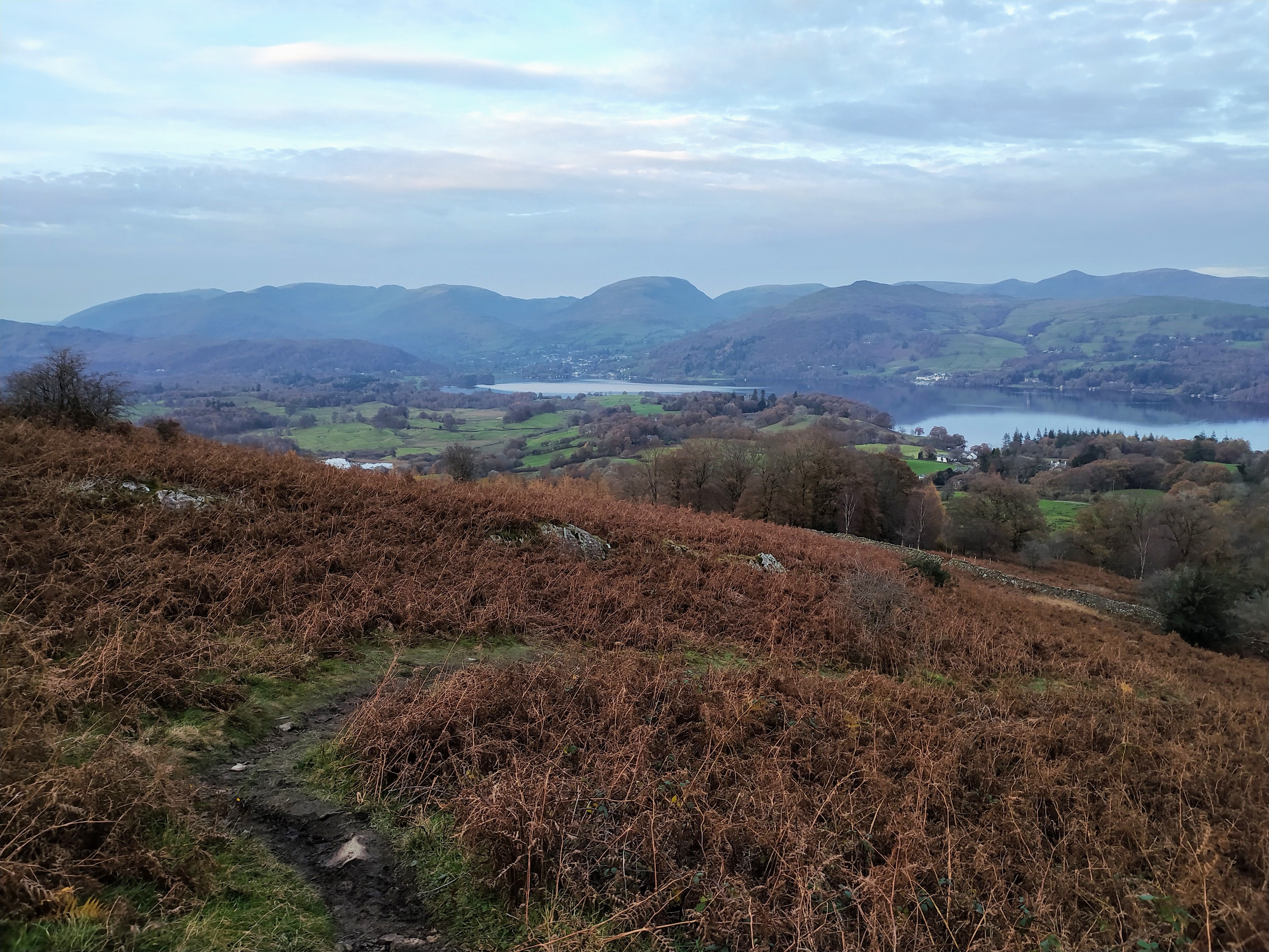
Glimpse of Windermere
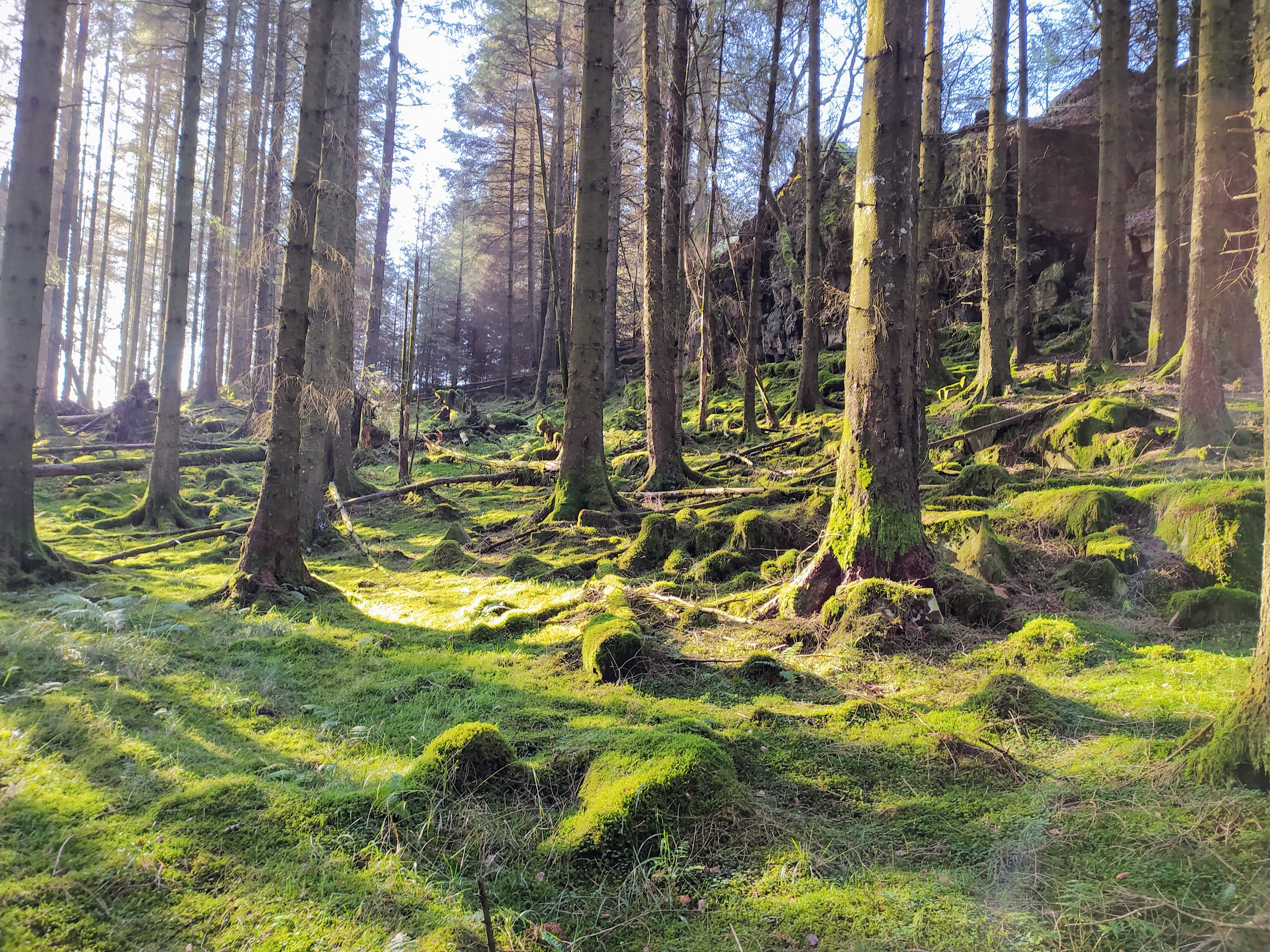
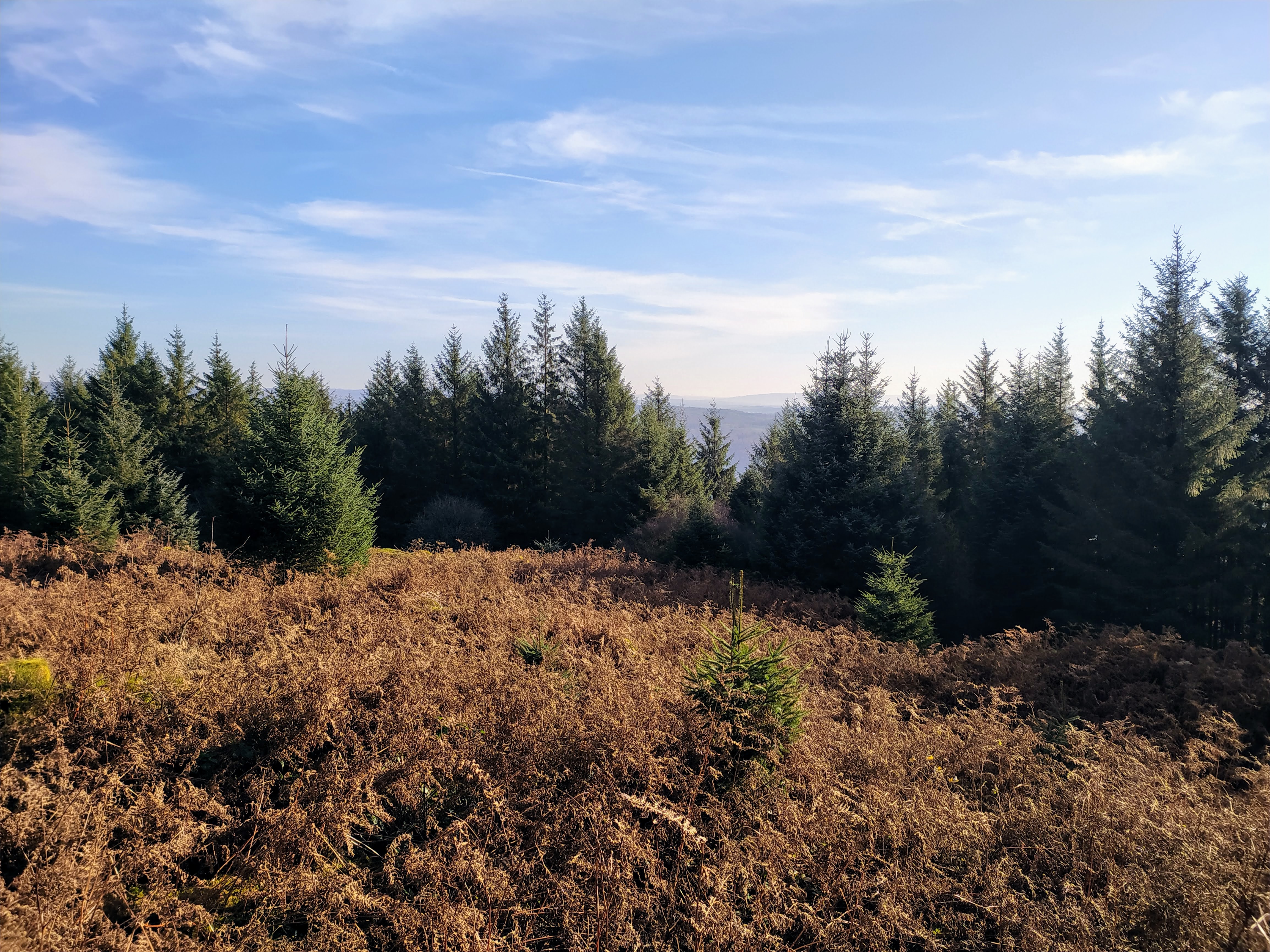
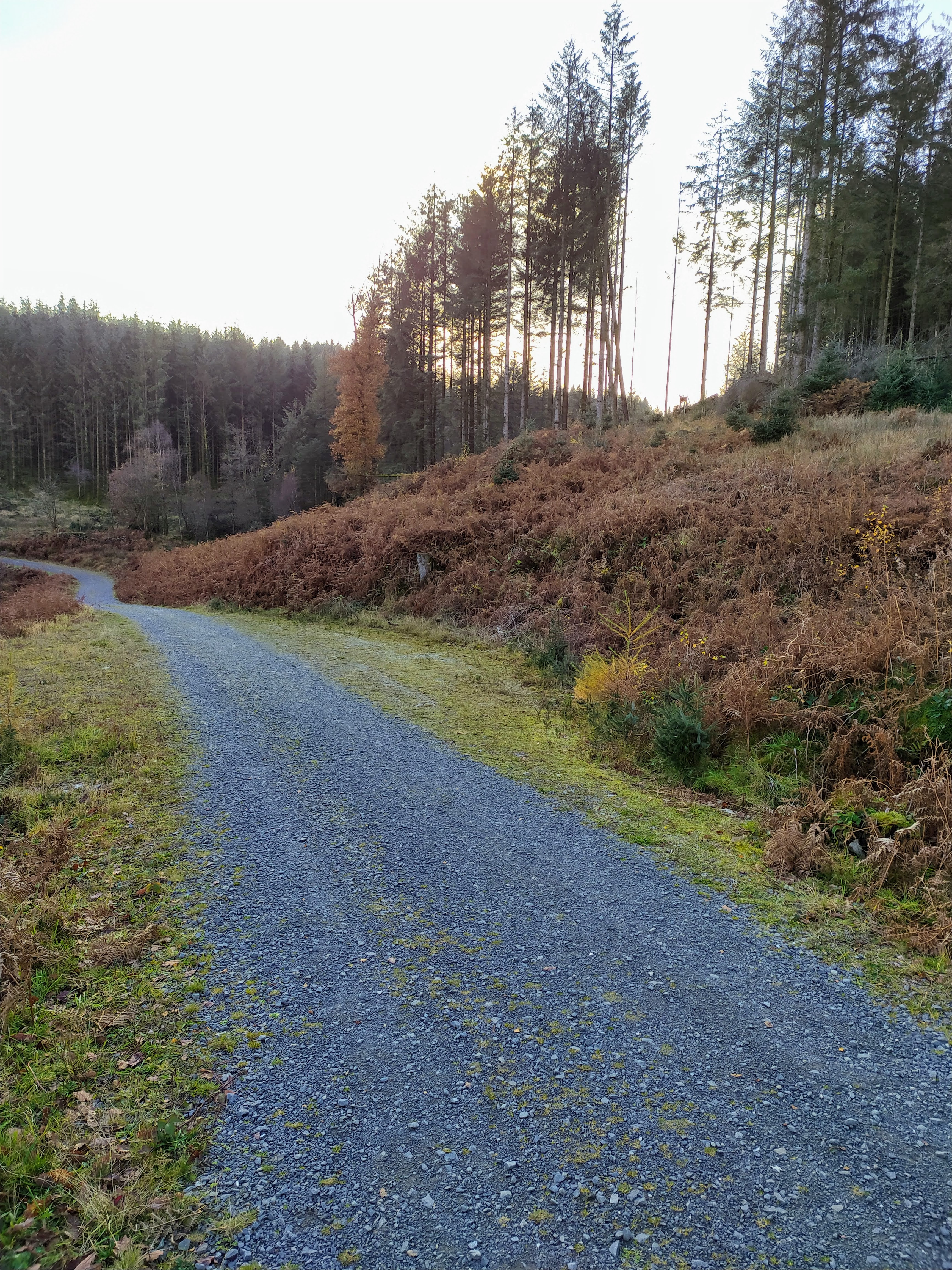
As you approach the forest the footing gets progressively worse, but a path can generally be found without too much soaking of feet required.
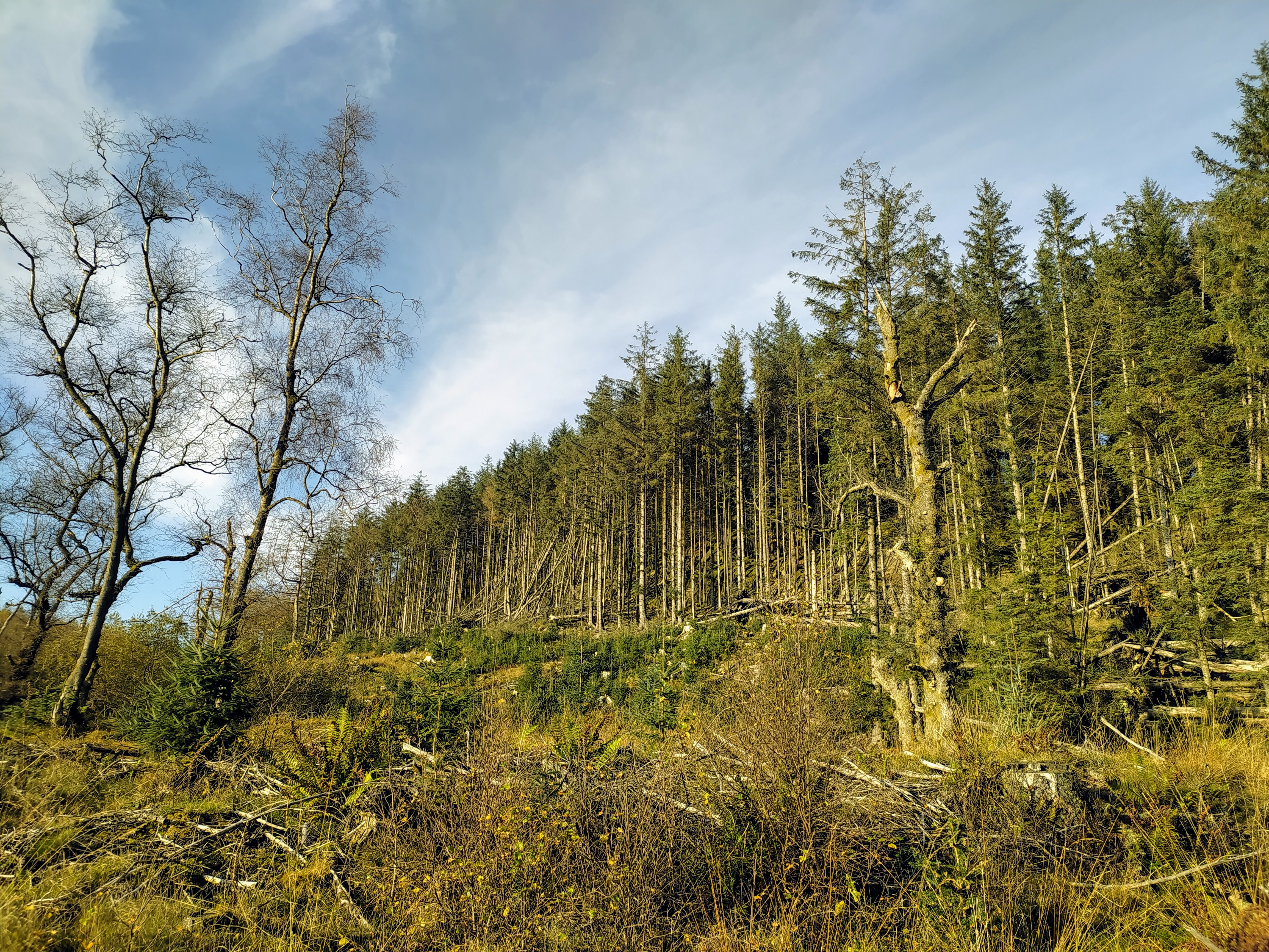
Approaching the forest
I didn’t take any water with me, I used the water filter on a stream running off High Blind How to half fill my water pouch, I didn’t need it again.
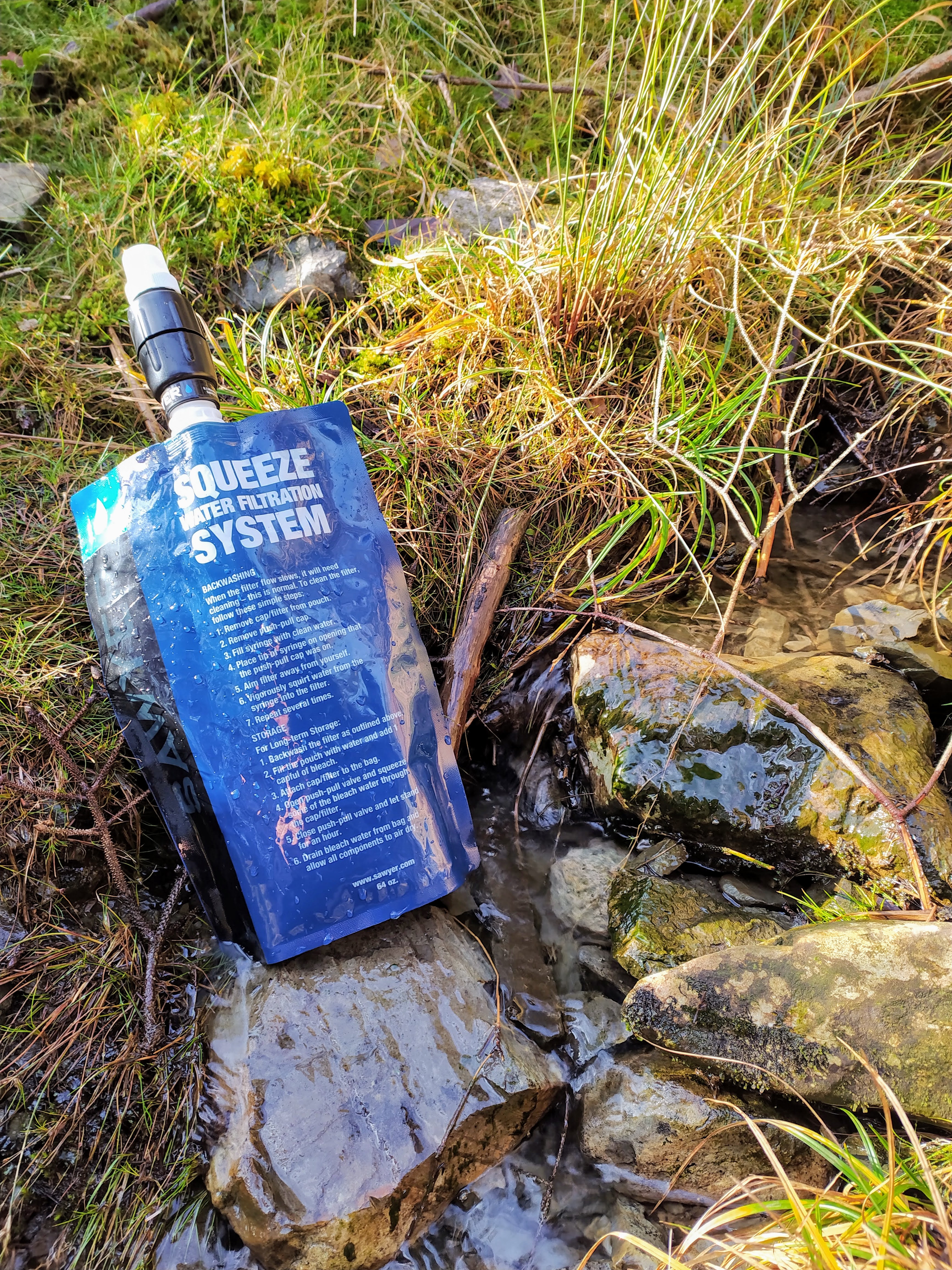
Stream running off High Blind How
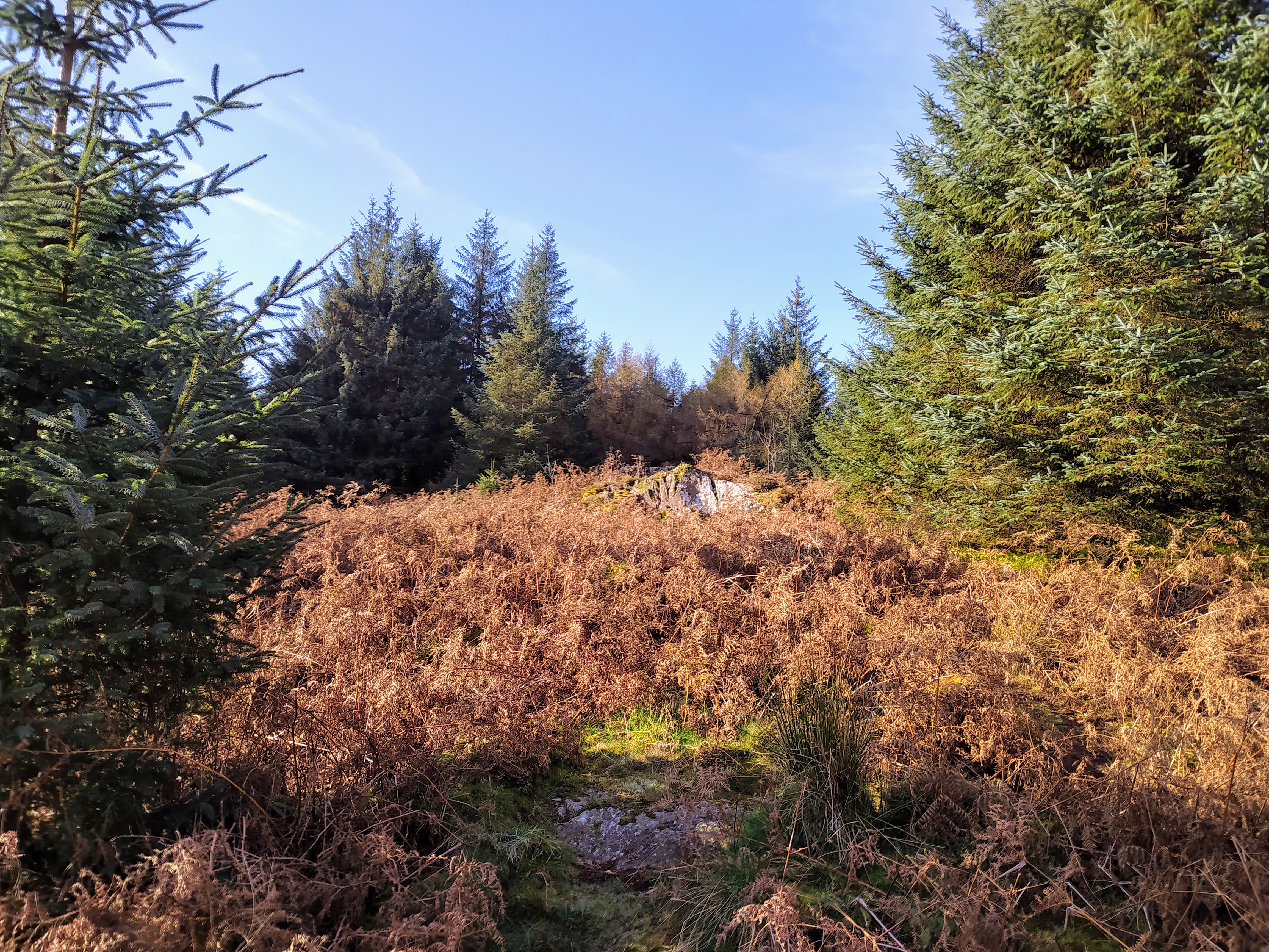
Turning left just after the signpost indicating a path up High Blind How takes you through the woods on a semi-obvious trail, with a little ascend of the rock face required before breaking out into the encircled trees of the trig point.
Approach to High Blind How
Breaking out into the encirclement of High Blind How
RaDAR position #1 - High Blind How
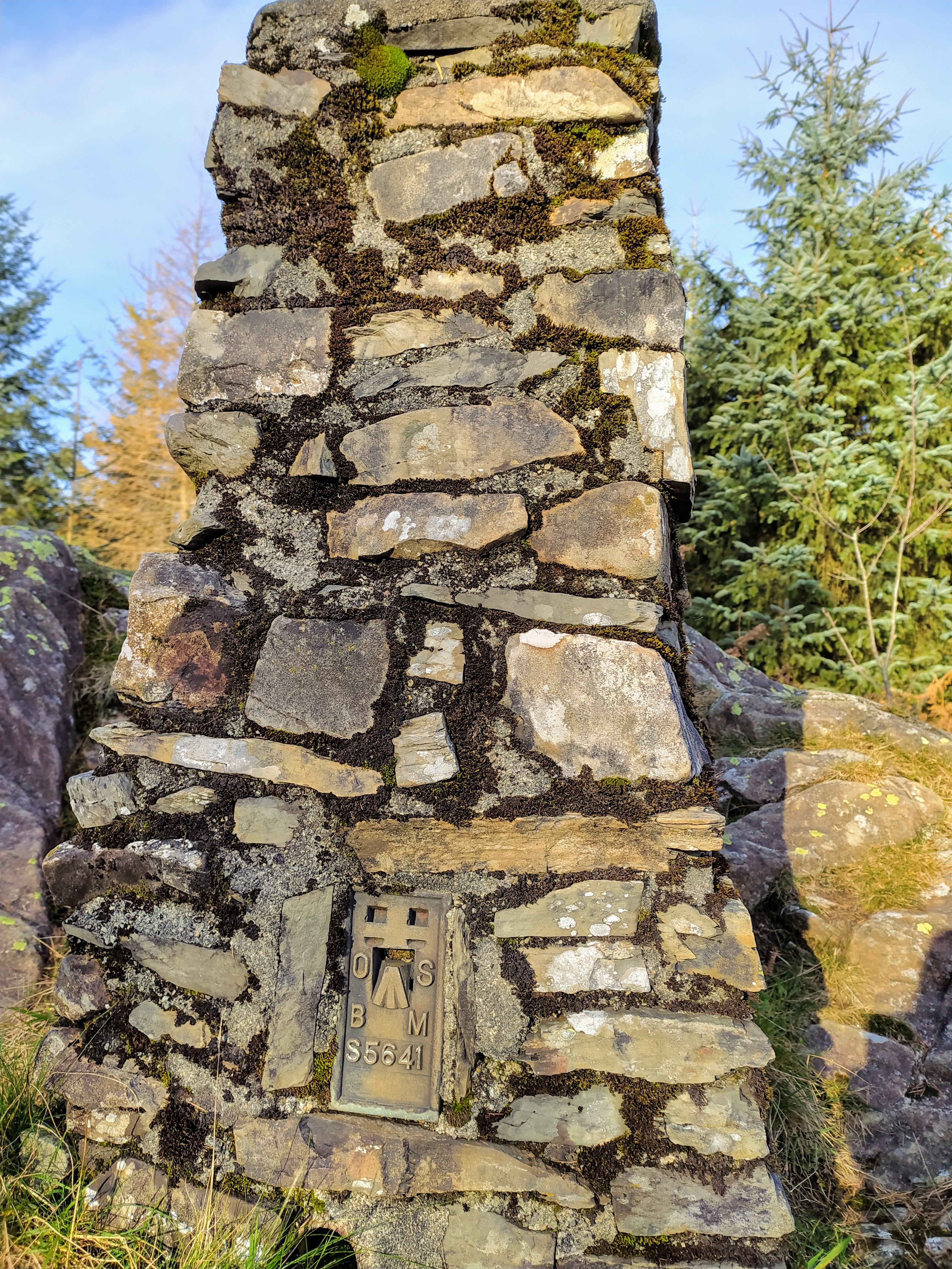
At the trig point
Restricted views from the trig point
This was to be my first RaDAR operating position. RaDAR requires you to transmit your 10 character Maidenhead reference. I am used to six character references, but wasn’t aware that they could be more accurate. After installing several applications on my Android phone that give Maidenhead locators in six-character form I stumbled across HamGPS which provides the required 10 character version.
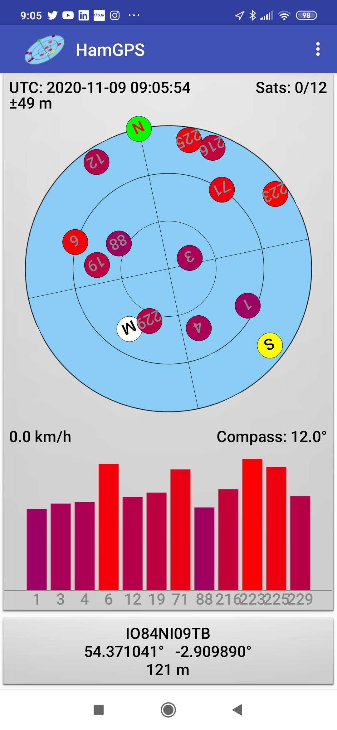
HamGPS icon and example of 10-character Maidenhead locator at my home QTH
When I’m operating portable, or static mobile, not at a WOTA or SOTA or HEMA summit I find giving my Maidenhead locator a bit of a rough tool as each square covers quite an area, so I’m not surprised with RaDAR of the requirement for a more accurate location.
It’s worth saying now that operating HF for SOTA and RaDAR are completely incompatible activities if you are going after points in the RaDAR contest. You have a four hour window from start to finish, of your choosing, to operate from as many sites as possible, so doing every HF band for SOTA is not going to maximise points.
I had a good run of contacts, given that November 7th was the SOTA Transatlantic S2S QSO Party. I was using the FT-817 ‘barefoot’ and had also brought my 17m/15m/12m/10m dipole, with very short legs, so very much a ‘V’ compared to the monster 80m SOTABeams dipole. I got some good contacts on 17m but that was about it. Could hear a northerly Norwegian station LA6KOA calling CQ (300km north of the artic circle!) but couldn’t get through the pileup with 5 watts. Think he would have heard me given half a chance however.
After 17m I tried 15m, 12m and 10m but didn’t get anything. Taking that quite compact dipole down I then had to string up the 80m SOTABeams antenna. I’ve done it before so I know it fits, but only just!
I didn’t managed to get a S2S with Joe OE5JFE/P (check out his amazing YouTube SOTA Video Channel) on 20m as he was 41 and couldn’t quite get my callsign out of the noise.
Once packed up I took the footpath towards Latterbarrow, with the idea that I would operate from a second position between the two. Given recent heavy rainfall it was decidedly boggy in places but nothing that ended up with damp socks.

Trial to Latterbarrow
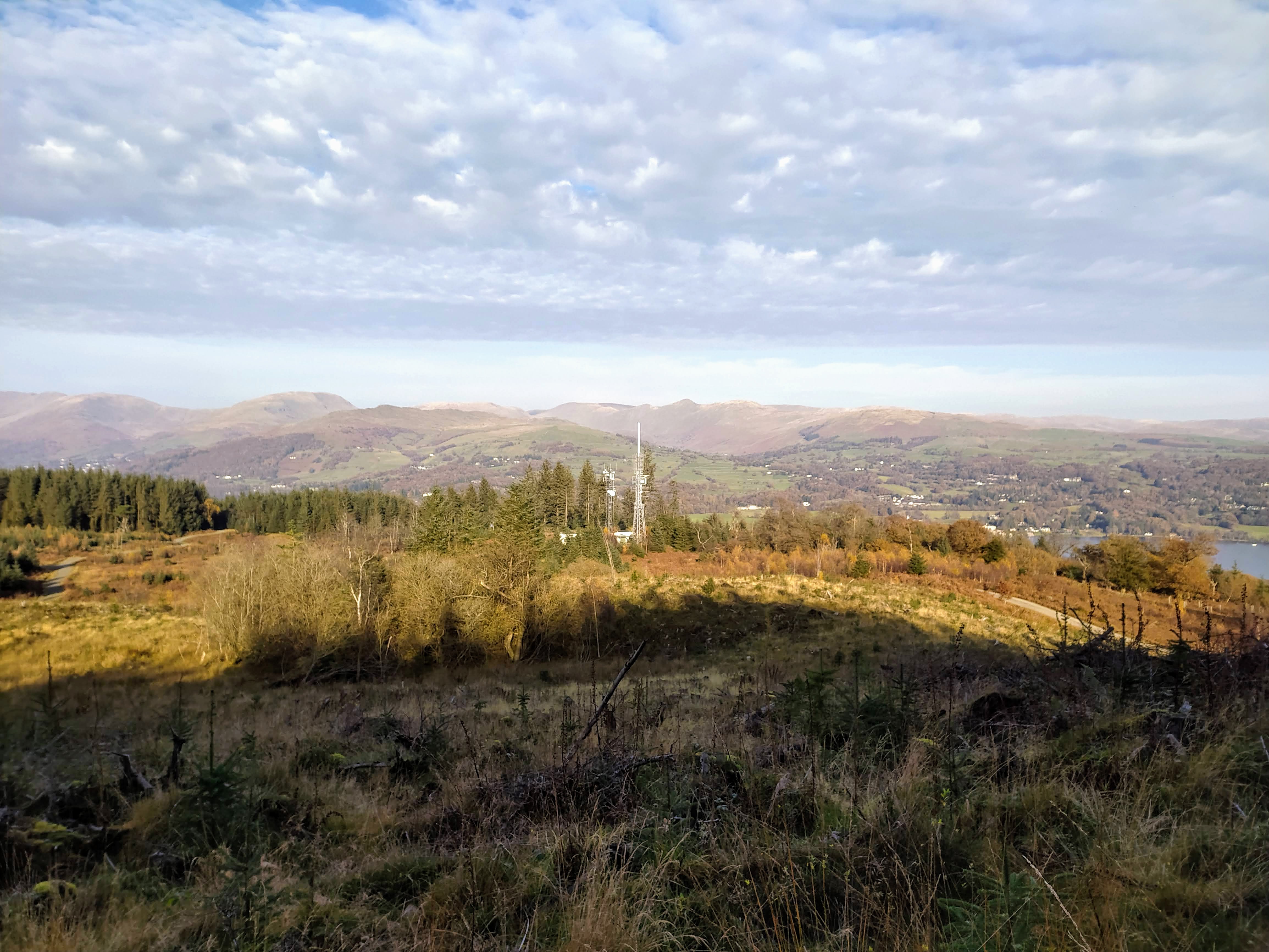
Claife Heights TV Mast

Bridge across the worst of the boggy bits
RaDAR Position #2 - Forestry Track at IO84MJ40HQ
Challenge fail number #2 was not taking a picture of the antenna setup, which is a requirement for the contest. I did take a picture of the spot where it had been however!
RaDAR Position #2
Contacts were harder to come by now as a lot of SOTA activations had finished in EU and 40m was awash with contesters. I did manage to chase Joe OE5JFE/P from this location however whilst he was still operating SOTA on the summit of Hochbuchberg OE/OO-075 in the Oberösterreich region of Austria.
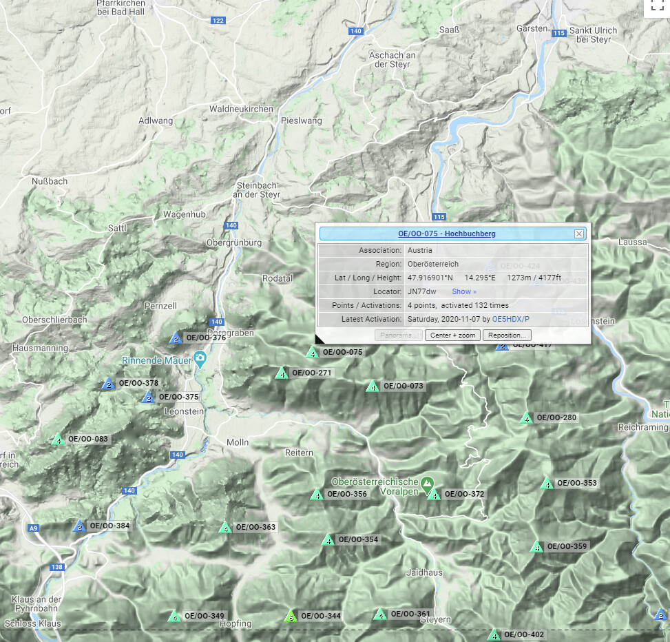
OE/OO-075 Joe’s SOTA Summit - Hochbuchberg)
Challenge fail #3 was kind of unforgivable - not reading the rules correctly! For some reason I had four contacts required in my head, but no you need five contacts to ‘qualify’ a location, so with only four from this location it doesn’t count for RaDAR!

Trail to Latterbarrow
RaDAR Position #3 - Latterbarrow IO84MJ22WB

Latterbarrow
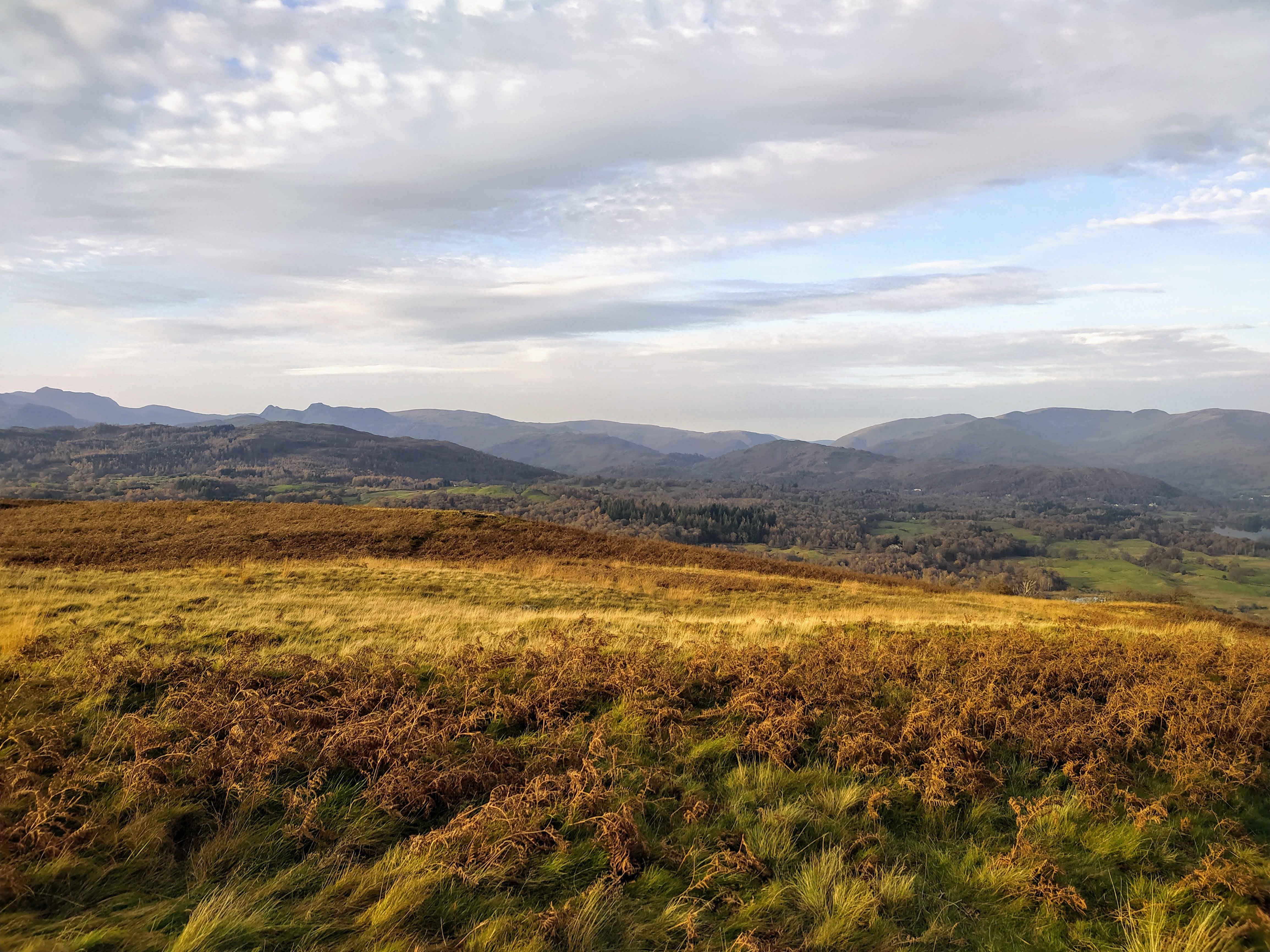
Views to the North
I had been in sporadic email contact with Andy DL2DVE who had contacted me after I’d posted to the RaDAR groups.io list my intentions for today. With a failed attempt at position #2 it was great to get him finally in the log here. He was using a 2m vertical setup with 100w:
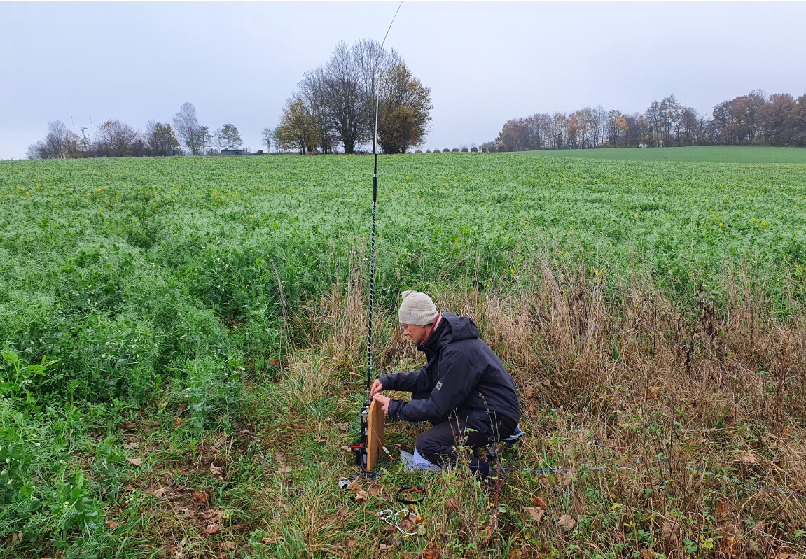
DL2DVE 2m vertical antenna with 100 watt setup for 20m band
When I got back home I was able to pinpoint his location, as copied to me: JN58WE24HG
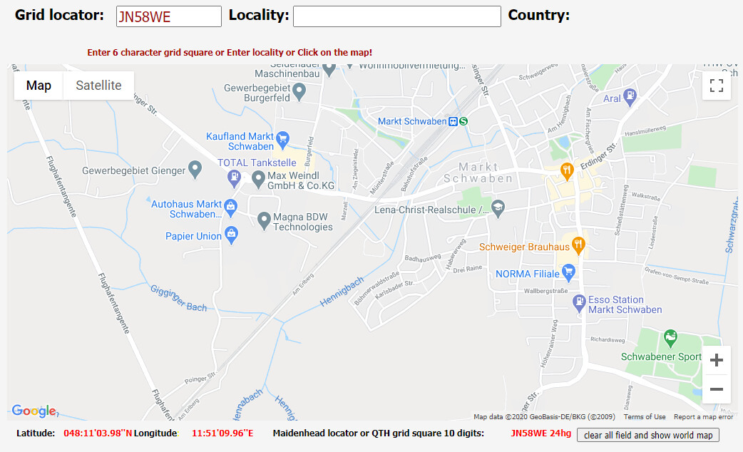
Andy’s Location
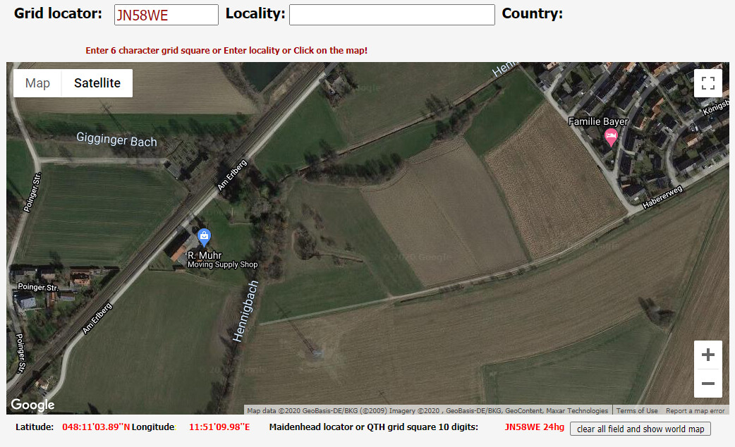
Satellite Image of Andy’s location
He confirmed by email afterwards that I was spot on where he was operating from.
Fail #4 here - try as I might I couldn’t get another contact from here. I think the battery was failing in the FT-817, so I could only use 2.5 watt maximum. I had to use the external 2200 mah LifePo4 I was carrying to charge my mobile phone. Light was starting to fade as well. So I packed up and headed down to High Wray then carried on walking towards Ambleside in the hope that Alex would come get me, which she did after about 45 minutes.
I did call CQ RaDAR on the recommended frequencies but had no contacts, although there were folk listening, it would very much depend on bands and conditions. The next RaDAR event is in April 2021 and I will try and plan better and accomplish some sort of reasonable score.
I like the event because it tries to be inclusive. You can take part from your shack, from any kind of vehicle or under your own steam. I can see it working really well as a beach activity, making use of the Salt Water Amplifier (see Tom’s talk below). Or maybe a hike into the middle of nowhere with an overnight camp running for four hours when NA is online? At least we are seeing the benefits of the next solar cycle now!
I haven’t tallied up more score yet but I don’t think I’m going to win any prizes this time out! Lots of fun however, and something a little different.
Mark. M0NOM.
Links