The Wainwright’s are the 214 mountains (or fells) of the English Lake District, as described by Alfred Wainwright in his Pictorial Guides to the Lakeland Fells. They are divided into seven areas, each a separate book in Wainwright’s series.
The Eastern Fells are centered around Helvellyn and they primarily comprise of a north-south ridge running between Ullswater and Lakeland’s Central Valley, running from Clough Head to Seat Sandal with the 950 m (3,118-foot) Helvellyn at its highest point. The Fairfield group lies to the south of the range overlooking Patterdale valley.
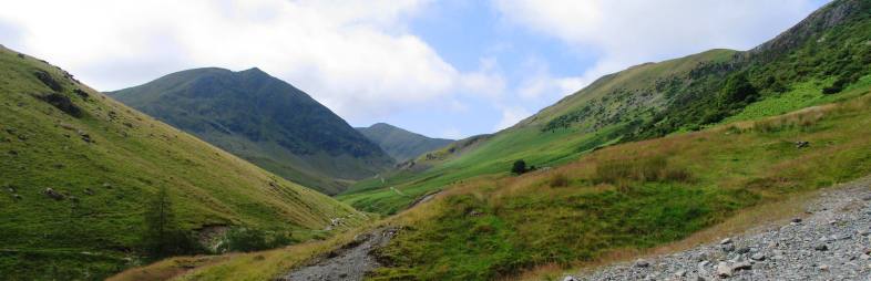
Looking towards Helvellyn from Stang End, Glenridding Common
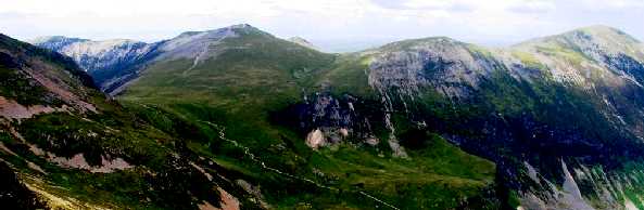
The Far Eastern Fells occupy a broad area to the east of Ullswater, Kirkstone Pass and are bordered by the M6 motorway and the A592 road running south to Windermere. At 828 m (2,717 ft), the peak known as High Street is the highest point on the ridge which runs broadly north-south and overlooks the hidden valley of Haweswater. To the north of this region are the lower fells of Martindale Common and Bampton Common. To the south are the fells overlooking the Kentmere valley. Further to the east, beyond Mardale and Longsleddale is Shap Fell.
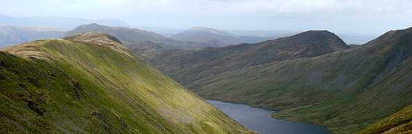
Hayeswater and Gray Crag, Hayeswater Gill
The Central Fells are situated in the heart of the Lake District, surrounded by the other ranges, are lower in elevation than surrounding areas, with the highest peak at 762m (2500ft) being High Raise. The range extends from the ridge between Derwentwater and Thirlmere in the north, to the famous rock peaks of the Langdale Pikes in the south. A spur also extends southeast to Loughrigg Fell above Ambleside. The central ridge runs north over High Seat.
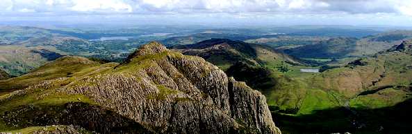
Loft Crag viewed from Pike O’ Stickle, Langdale Pikes
The Southern Fells occupy the southwestern quarter of the Lake District and cover a large area comprising of Great Langdale, Borrowdale, Wasdale, Eskdale and the two Langdale valleys, a southeastern group east of Dunnerdale and south of Little Langdale and a southwestern group bounded by Eskdale to the north and Dunnerdale to the east. They include Scafell Pike at 978m (3,209 feet ), the highest peak in England, and Scafell one mile (1.6 km) to the south-west. The well know fells of Crinkle Crags, Bowfell and Esk Pike are also found in this region of the Lakes.
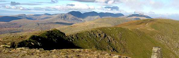
View towards Sca Fell Pike from Old Man Of Coniston
The Northern Fells cover a 13km diameter circle between Keswick in the southwest and Caldbeck in the northeast. It contains the 931m (3054ft) peak of Skiddaw. Other well know fells in this region are those of Blencathra (a.k.a. Saddleback) (868m / 2848ft) and Carrock Fell. Bassenthwaite Lake occupies the valley. The range is bordered by the River Greta in the south and Caldew river bounds the eastern edge of the group, flowing away toward Carlisle.
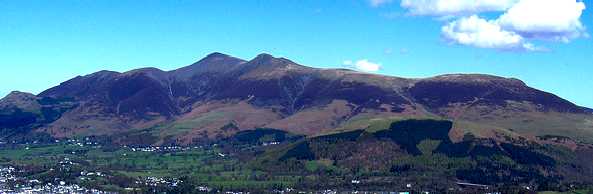
View towards Skiddaw from Walla Crag above Keswick
The North Western Fells occupy an oval area beneath the Buttermere and Borrowdale valley systems with Bassenthwaite Lake to the east and Buttermere and Lorton Vale to the west. Their southernmost point is at Honister Pass.This area includes the Derwent Fells above the Newlands
Valley and hills to the north amongst which are Dale Head and Robinson. To the north stands Grasmoor, the highest in the range at 852m (2795ft). This region also includes Grisedale Pike, Thornthwaite Forest and Lord’s Seat.
Looking towards Hopegill Head from Sail
The Western Fells are centred around Great Gable and form a triangular area between Buttermere and Wasdale, with Sty Head forming the apex of the triangle. Ennerdale bisects the area, which consists of the High Stile ridge north of Ennerdale, the Loweswater Fells in the far north west, the Pillar group in the south west, and Great Gable (2,949 feet / 899 metres) near Sty Head. Other fells include Seatallan, Haystacks and Kirk Fell. This region also contains Wastwater, England’s deepest lake.
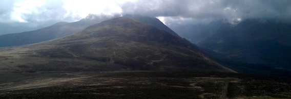
Looking towards Starling Dodd from Great Borne
Alfred Wainwright also produced another volume called The Outlying Fells of Lakeland. These 116 mostly lower fells were included by Alfred Wainwright in 1974, dedicated to those who’s physical and other disabilities and old age may prevent them from enjoying the more challenging fells listed in the other seven guides.
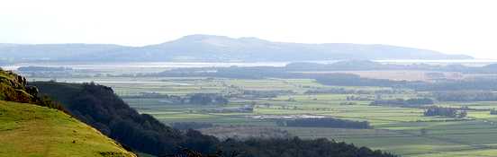
View from Scout Scar, Nr. Kendal
It is also a very useful guide for those wishing to get started with fell walking that find the thought of taking on the challenge of the Wainwright’s a little daunting. Many of the 56 walks described in this book offer a pleasurable family day out for all ages and abilities. A great way to combine Amateur Radio and an enjoyable walk in some of the most beautiful countryside that the Lake District has to offer.
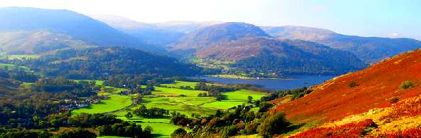
View across Patterdale
It is with this in mind, that the Outlying Fells have been added to the Wainwright’s On The Air programme, starting on 1st January 2012.
Pictorial Guides to the Lakeland Fells are:
- The Eastern Fells
- The Far Eastern Fells
- The Central Fells
- The Southern Fells
- The Northern Fells
- The North Western Fells
- The Western Fells
- The Outlying Fells of Lakeland
The Outlying Fells that have now been included in Wainwrights On The Air can be counted for points as of 1st January 2012, with some of them also being valid for Summits On The Air (SOTA) and Summitsbase.